
THE DENE
Location
Geographic Setting
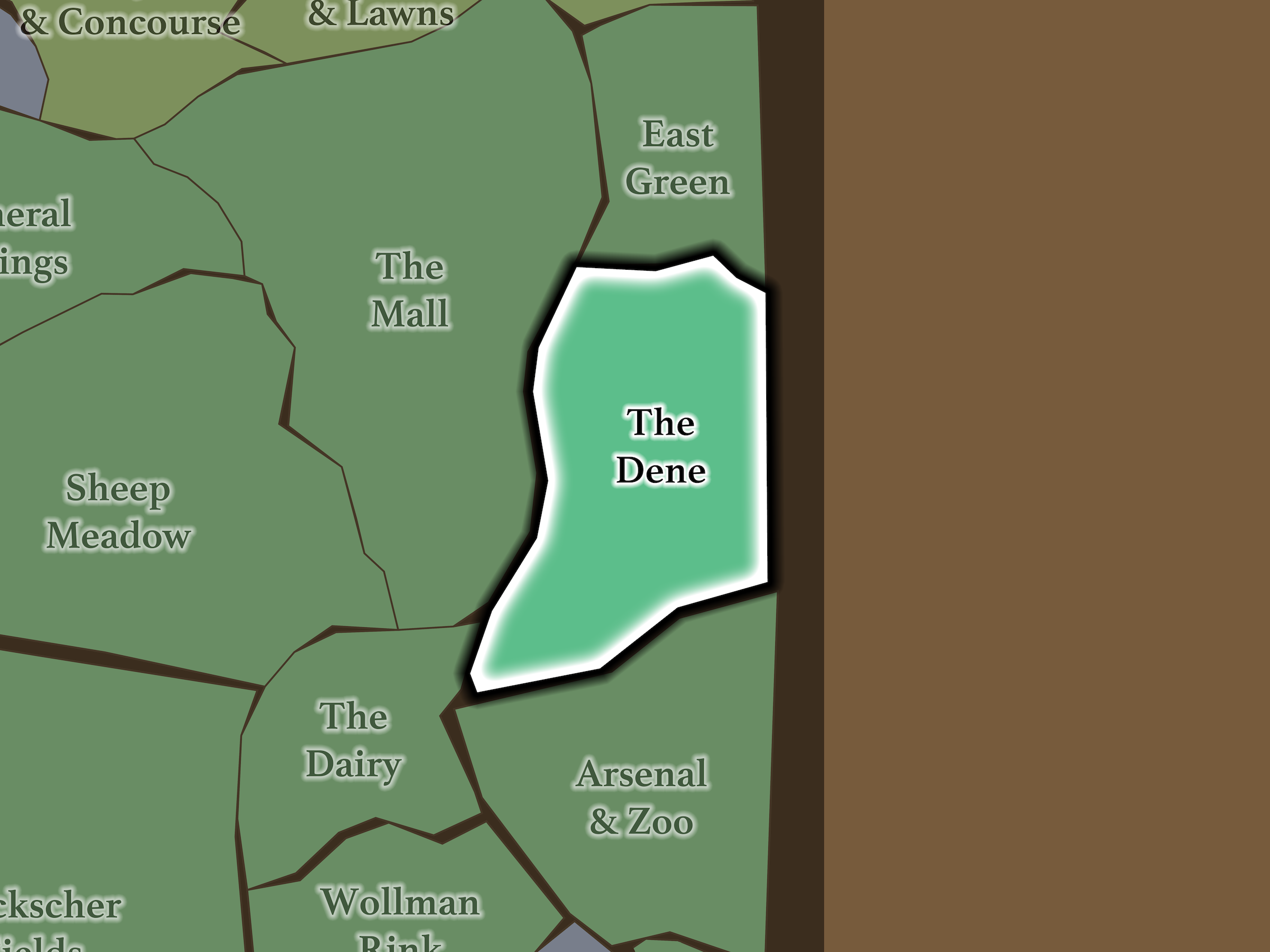
The Dene occupies the eastern side of Central Park’s South End. Central Park Zoo and the Arsenal lie below it across East 66th Street; The Dairy and The Mall sit beyond East Drive to the west; East Green continues the park northward; and Fifth Avenue separates the landscape from Lenox Hill.
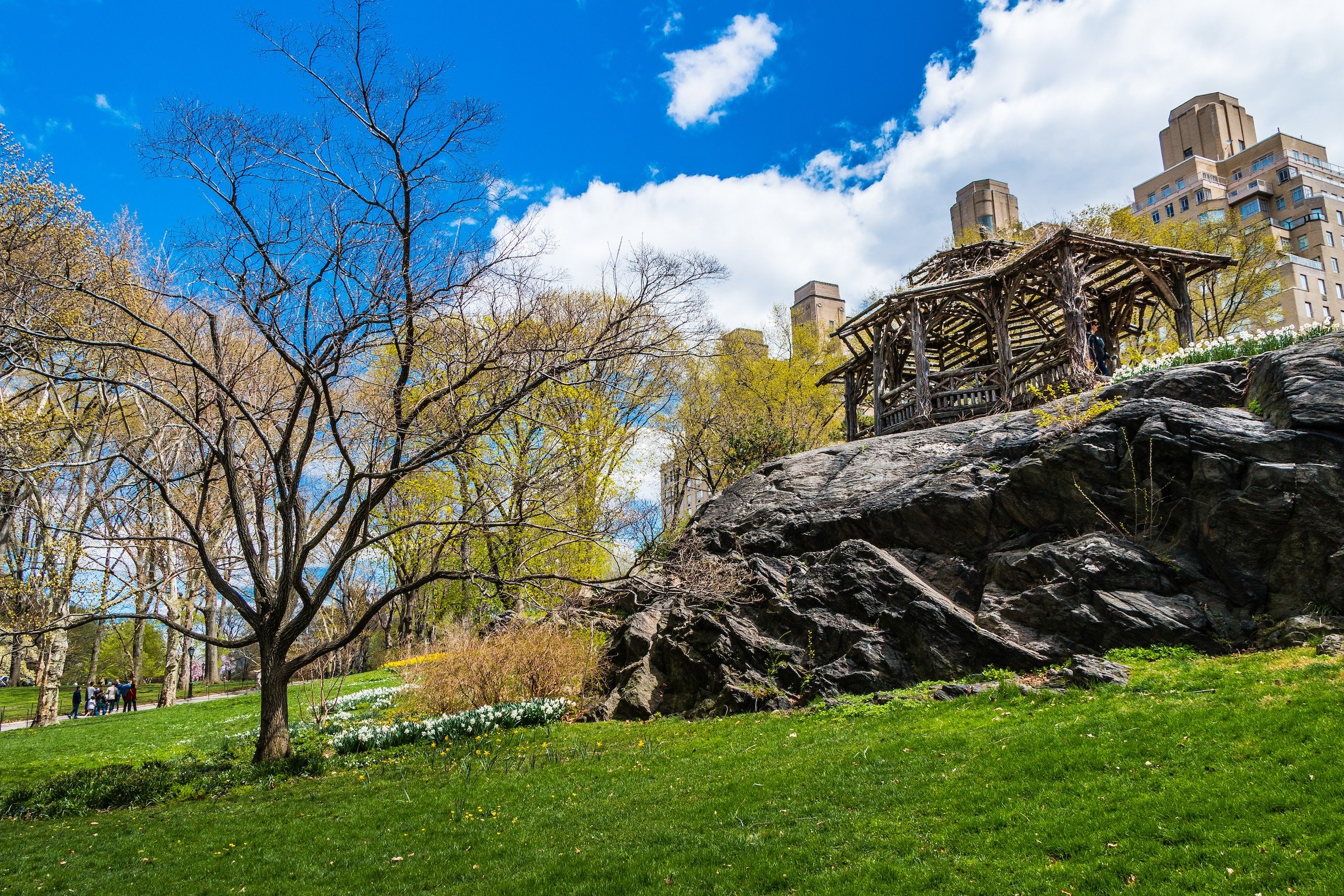
Its strongest physical identity comes from its elevation changes. Large rock outcrops rise above winding paths and lower lawns, particularly around the Summerhouse and Dene Slope. These changes in grade also create unusually strong transitions: Willowdell Arch carries East Drive over the pedestrian route from The Mall into The Dene, allowing visitors to pass almost imperceptibly from one landscape into another.
Etymology
The Dene takes its name from an old English term for a valley or dale, an unusually literal name for a landscape shaped by steep slopes, exposed rock and lower ground between them. The name belongs to the nineteenth-century vocabulary of Central Park itself: by 1877, guides were already describing The Dene as a distinct and familiar landscape.
History
1858–1873: Greensward Plan & Construction
Before Central Park, much of the east-side land below 96th Street—including the future Dene—was sparsely occupied compared with settlements elsewhere in the future park. Olmsted and Vaux therefore inherited less of a built neighborhood here than a difficult natural terrain of rock, slope and uneven ground. Rather than leveling those characteristics away, their design incorporated them into an idealized rural landscape.
The resulting Dene used topography as scenery. Rock outcrops became overlooks; slopes and plantings created enclosure; winding walks encouraged indirect exploration; and structures such as Willowdell Arch allowed pedestrian and carriage circulation to occupy different levels without breaking the pastoral illusion. The rustic Summerhouse, placed high on an outcrop, turned the elevation itself into both destination and viewpoint.
1858–1899: Early History & Grand Openings
By the park’s early decades, The Dene was already understood as a destination rather than simply leftover terrain beside the Mall. The 1877 Complete Guide to Central Park called it a “beautiful valley” covered by intertwining walks and described a donkey service that carried children around its circuit. The same guide placed one of the park’s donkey stands at Denesmouth Arch, effectively making the southern mouth of The Dene an arrival point for exploring the landscape.
This early Dene was therefore both picturesque and recreational: a designed valley meant for wandering, elevated views, rustic retreat and children’s amusement while remaining connected to the busier Mall, Menagerie and Museum nearby.
20th Century: Transformation & Restoration
The Dene accumulated several new layers during the twentieth century. The Balto monument was dedicated in 1925, followed by the 107th Infantry Memorial in 1927, placing two very different commemorative works into the landscape.
Like much of Central Park, the area later suffered from declining maintenance. Its revival became part of the Conservancy-era restoration of the park. The historic rustic Summerhouse was reconstructed in the 1980s, while Billy Johnson Playground—designed by landscape architect M. Paul Friedberg and completed in 1986—translated the Dene’s rocks, rustic architecture and exploratory character into a play environment. Wallach Walk was named in the early 1990s following restoration of the eastern landscape between Fifth Avenue and East Drive.
Explore
21st Century: Renovation & Modernization
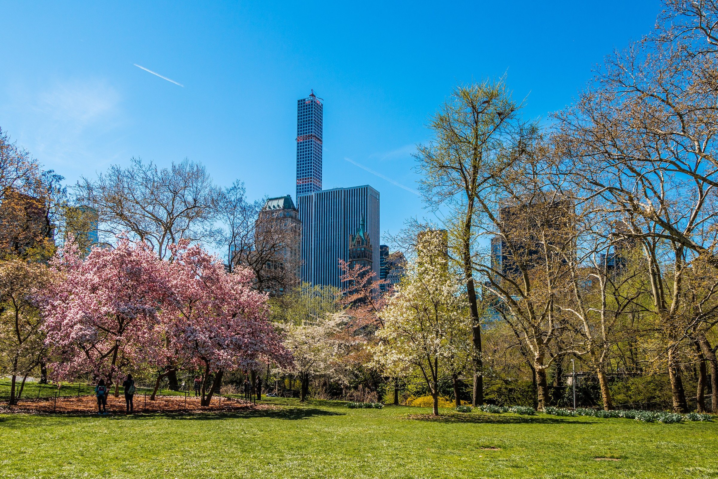
Today, The Dene remains one of the South End’s most convincing examples of Central Park’s ability to conceal the city without completely excluding it. Rock rises through lawns and plantings; paths climb and descend; the Summerhouse looks outward toward both parkland and skyline; and Fifth Avenue remains remarkably close despite the landscape’s secluded character. The Conservancy describes it as a quintessential Central Park landscape defined by steep hills and dramatic rock outcrops.
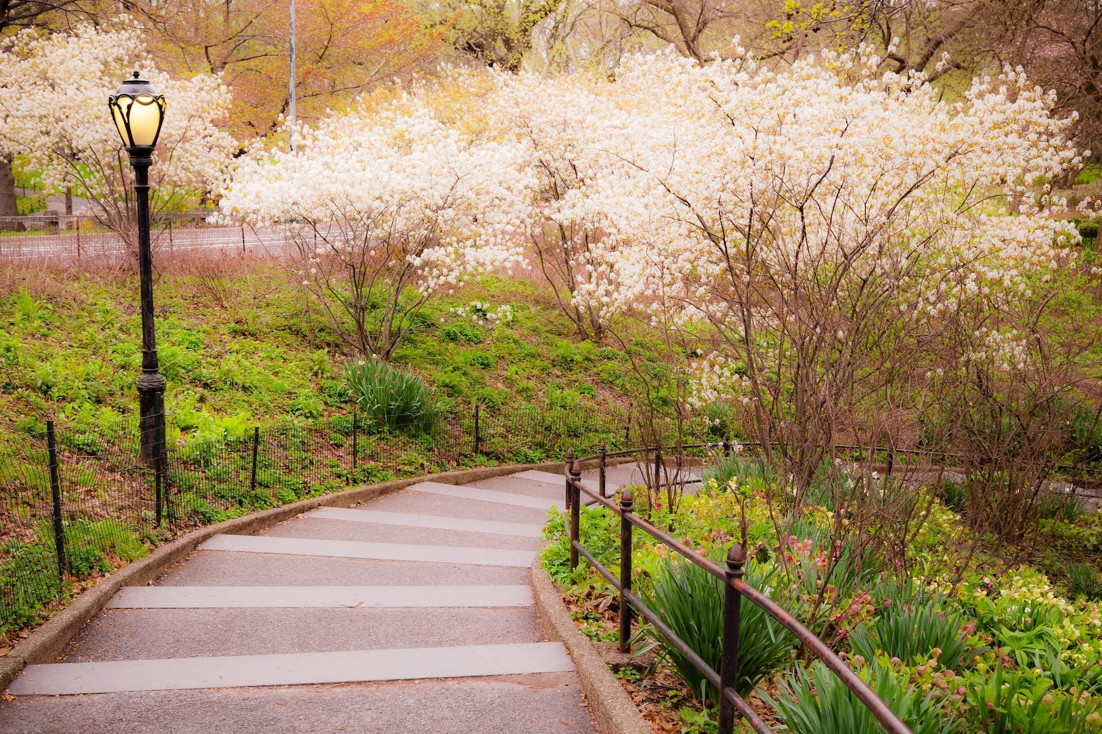
The most substantial contemporary transformation is Dene Slope. Completed in 2017, the formerly eroded hillside was replanted as a 1.25-acre native meadow with more than 50 species of grasses and wildflowers, a winding trail and rustic seating. Billy Johnson Playground was comprehensively renovated shortly afterward while retaining Friedberg’s landscape-based design. Together they continue the Dene’s longstanding identity as a place where pastoral scenery, exploration and recreation overlap.
Waypoints
-
Karl Illava’s intense 1927 memorial depicts soldiers of New York’s 107th Infantry in battle and occupies the Fifth Avenue edge near East 67th Street.
-
Frederick Roth’s 1925 monument to the celebrated sled dog stands dramatically atop a rock outcrop just east of Willowdell Arch.
-
M. Paul Friedberg’s landscape-inspired playground uses rock, timber, planting and even a miniature interpretation of Gapstow Bridge to extend the Dene’s exploratory character into children’s play.
-
The neighborhood’s great exposed rock outcrop gives The Dene much of its vertical character, rising toward the Summerhouse and providing expansive views across the park and surrounding city.
-
A native wildflower and grass meadow established on a formerly eroded hillside, with a winding trail and broad views across the landscape.
-
A rustic vine-covered shelter perched high on the neighborhood’s dominant rock outcrop, offering one of the clearest demonstrations of how Central Park turns elevation into both refuge and viewpoint.
-
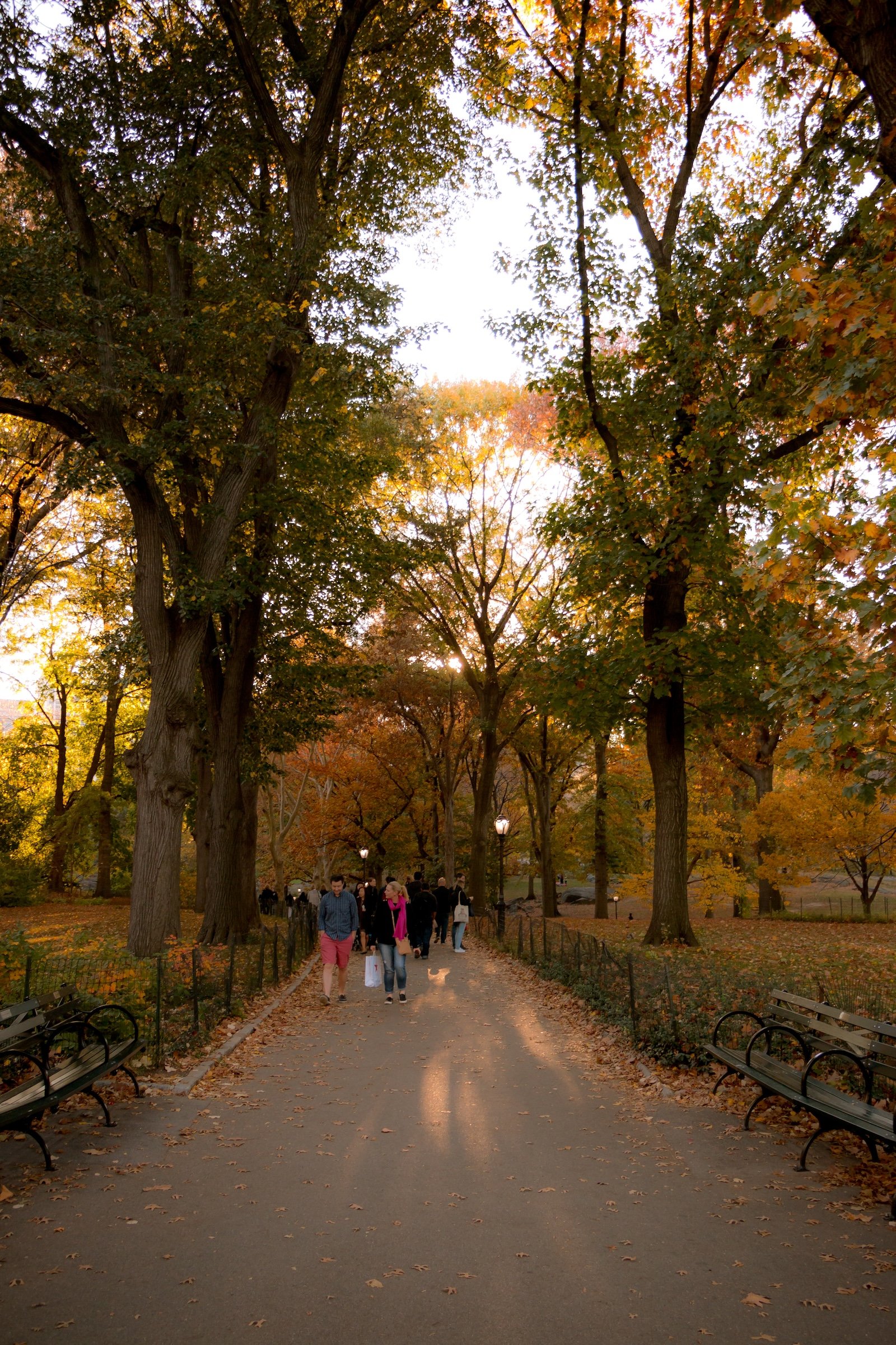
The eastern pedestrian route through the Dene, named for Miriam and Ira Wallach following restoration of the surrounding landscape in the early 1990s.
-
Built as part of Central Park’s original circulation system, the brick-and-sandstone arch carries East Drive above the pedestrian route connecting The Mall and The Dene.
Photography
Visual Identity
Central Park has no single visual identity. It moves between open meadow and enclosed woodland, exposed bedrock and carefully planted garden, reflective water and hard-edged skyline. Its paths can narrow into shade beneath old trees, then open suddenly toward towers, lakes, monuments, or a broad field filled with people. The Park’s character is made from those transitions: the designed discovery of one landscape giving way to another.
Water and horizon recur throughout its geography. The Lake, Reservoir, ponds, fountains, and seasonal pools of light create places of reflection—sometimes literal, sometimes figurative—where the city appears fractured, softened, or enlarged. Beyond them, Manhattan’s towers remain present as a constant reminder that this cultivated landscape exists within, not apart from, one of the world’s densest cities.
Its visual language also changes dramatically with the seasons. Winter exposes branches, stone, and skyline; spring briefly turns the Park into blossom and color; summer fills its lawns and paths with activity; autumn intensifies the drama of canopy, water, and light. Central Park is designed to be revisited, and its identity is never fixed for long.