
OLD REDOUBT
Location
Geographic Setting
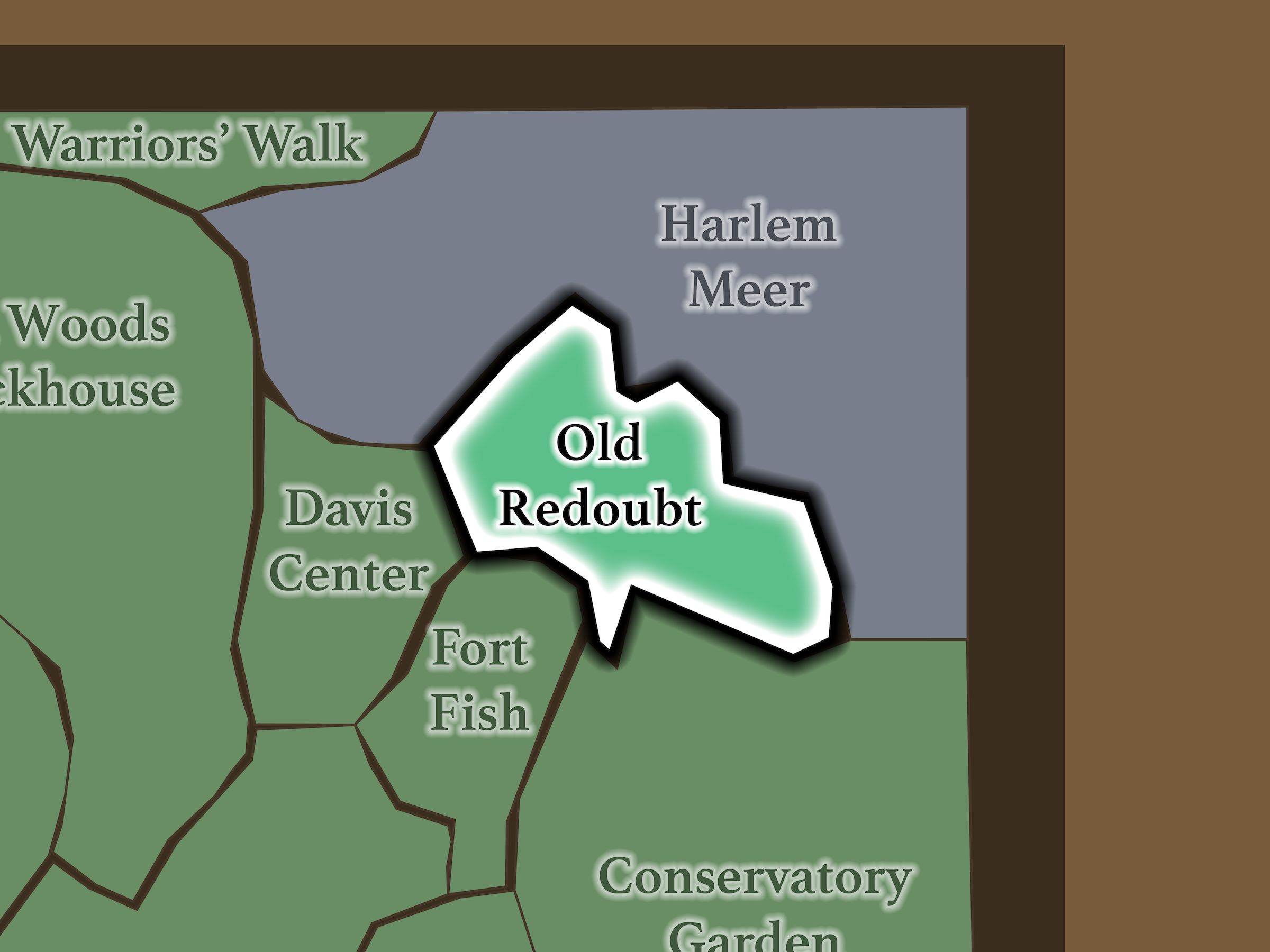
Old Redoubt occupies the elevated northeastern interior of the North End. Harlem Meer lies immediately north; Conservatory Garden sits to the southeast; Fort Fish lies below East Drive; and Davis Center occupies the landscape to the west.
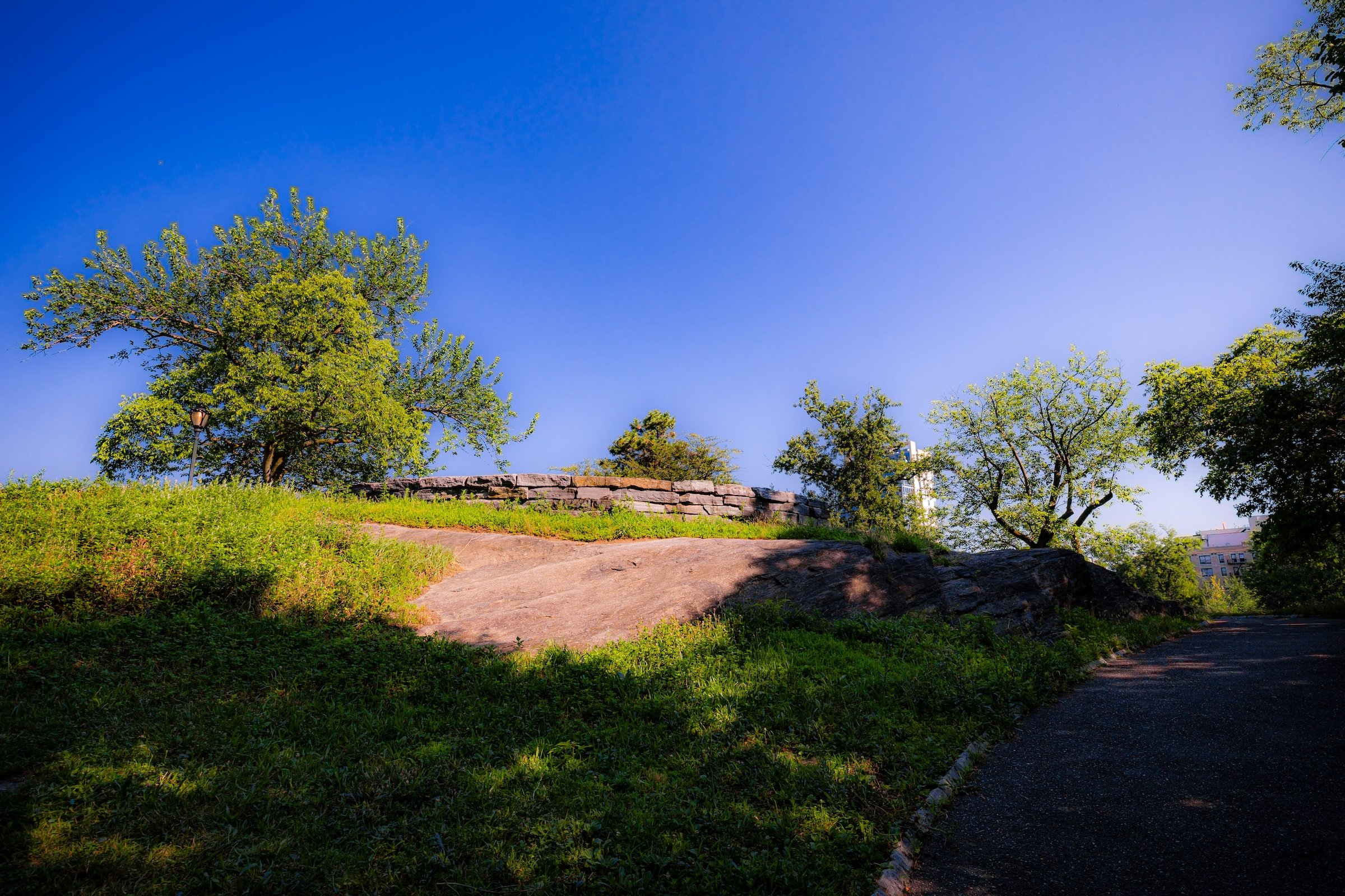
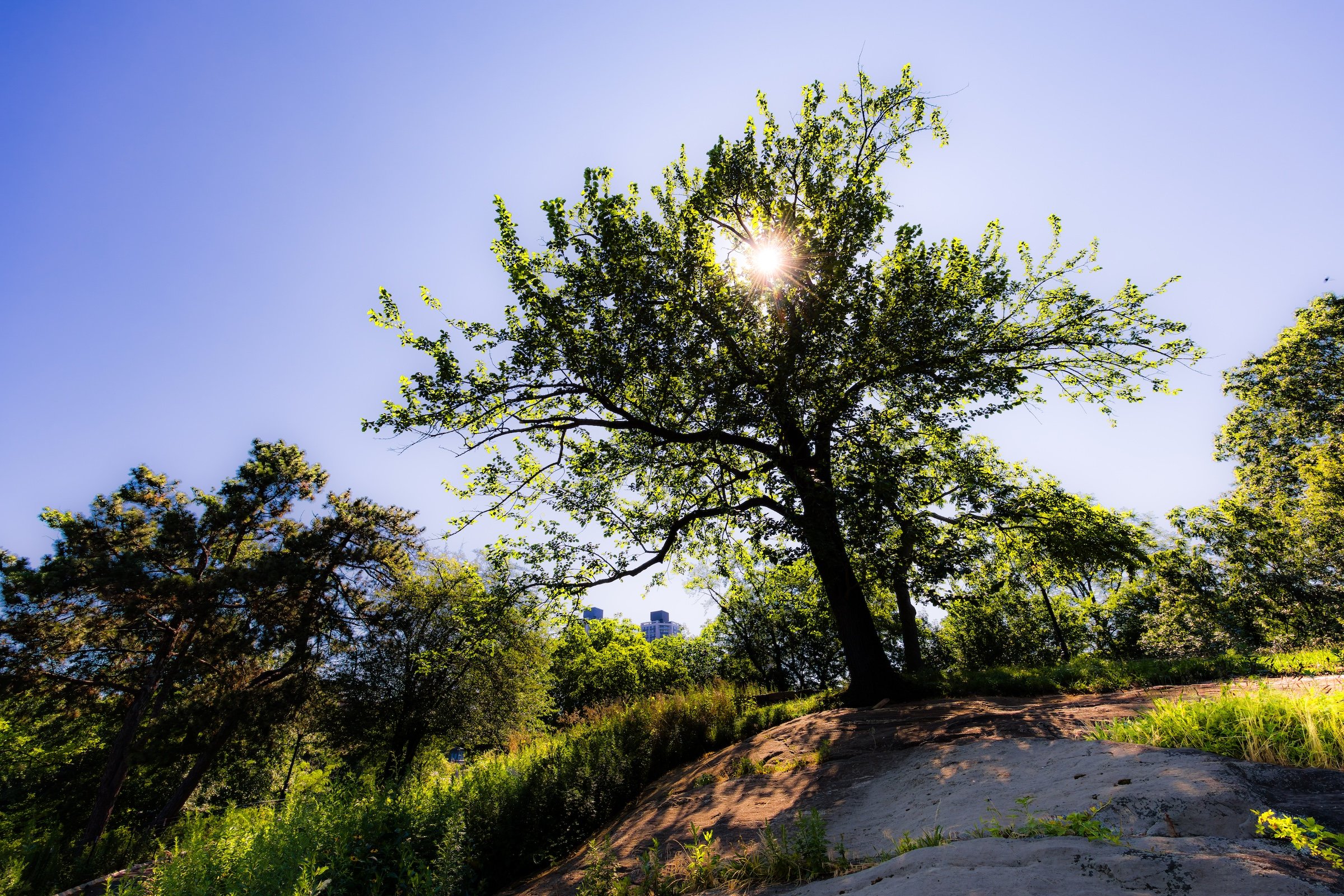
The neighborhood is dominated by high rocky ground overlooking the Meer. Paths climb between exposed outcrops and mature trees before arriving at a series of overlooks associated with Fort Clinton and Nutter’s Battery.
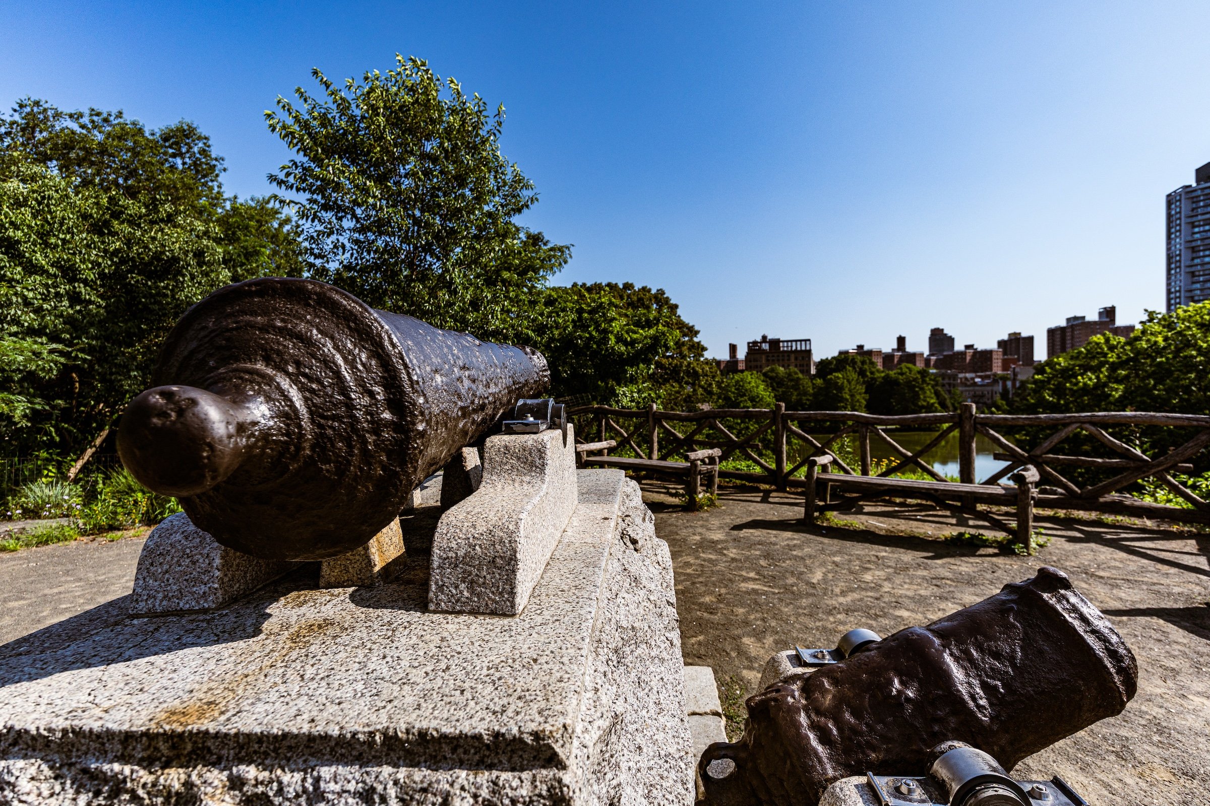
The elevation explains almost everything about the place. From these heights, the view opens across Harlem Meer toward Harlem, Spanish Harlem / El Barrio and the rising skyline of Upper Manhattan. What is now scenery was once strategic visibility.
Etymology
Old Redoubt revives a genuine nineteenth-century Central Park place name.
The 1877 Complete Guide to Central Park describes “The Old Redoubt” at the northeastern end of the park, overlooking Harlem Meer and the Harlem Plains, calling it an old defensive landmark associated with the Revolutionary War. It describes wooded slopes and paths climbing to its crest and specifically places McGowan’s Pass among the historic features visible from the site.
The military history beneath that period name is layered. George Washington passed through McGowan’s Pass in 1776 while attempting to rally American forces retreating from the British invasion, but British troops subsequently seized the northern heights and constructed fortifications here, occupying the area for seven years. During the War of 1812, Americans again fortified these same strategically valuable elevations, creating Fort Clinton, Nutter’s Battery, Fort Fish and the Blockhouse system.
So Old Redoubt is particularly useful because it captures the older military landscape as a whole, rather than naming the neighborhood after any single surviving fort site.
History
1858–1873: Greensward Plan & Construction
Long before Central Park, this was one of Manhattan’s most important pieces of defensive terrain.
The old Kingsbridge Road, Manhattan’s principal north–south route before the street grid, passed through a narrow break in the rocks at McGowan’s Pass. Whoever controlled the pass could control movement toward the developed city farther south. The surrounding heights simultaneously offered long views toward northern approaches.
During the Revolutionary War, Washington passed through this landscape in September 1776 as American forces withdrew northward. British forces then occupied the northern heights and constructed defensive positions overlooking what was then swampy ground near the future Harlem Meer.
When another British attack seemed possible during the War of 1812, New Yorkers reused the same geography. Fort Clinton, Nutter’s Battery and Fort Fish were built or rebuilt across the eastern heights and connected by low earthworks to a gatehouse controlling McGowan’s Pass; blockhouses extended the defensive line westward.
By the time Central Park was created, Olmsted and Vaux were therefore not designing on an empty hillside. They inherited a historic military landscape.
1858–1899: Early History & Grand Openings
Olmsted and Vaux recognized both its historical importance and its extraordinary scenery.
Rather than erase the old defensive sites, they incorporated them as overlooks within the park. Fort Clinton in particular was retained as a picturesque historical destination, with rustic fencing, benches and a flagpole. The former fortification became a place from which visitors could admire the landscape rather than defend it.
The 1877 Complete Guide shows that this military identity remained strongly legible to early Central Park visitors. Its description of the Old Redoubt emphasizes both history and prospect—the wooded crest overlooking Harlem Meer, Harlem Plains and territory stretching toward High Bridge.
The military landscape had effectively become a scenic one.
20th Century: Transformation & Restoration
As the physical earthworks deteriorated, their locations became increasingly difficult to recognize.
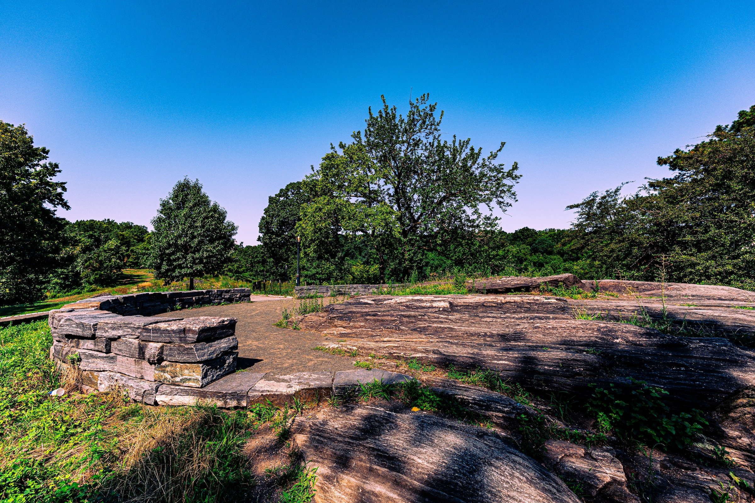
In 1945, the Parks Department created paths and low stone walls to mark the former site of Nutter’s Battery. Fort Clinton similarly survived principally as an overlook rather than as an intact fortification.
The Central Park Conservancy returned major attention to both sites during its restoration of the North End. In 2014, Fort Clinton and Nutter’s Battery were reconstructed as historic overlooks, with walls, paving and plantings renewed while emphasizing the original rock formations and panoramic views that had made the positions strategically valuable in the first place.
Two historic cannons were also returned to Fort Clinton. Their story adds another layer: they originated aboard the British warship HMS Hussar, which sank in the East River in 1780, rather than having actually served at the fort.
Explore
21st Century: Renovation & Modernization
Today, Old Redoubt is one of Central Park’s finest examples of history revealed through topography.
There are no massive surviving fort walls. Instead, the terrain explains why the defenses were here.
Climb toward Fort Clinton or Nutter’s Battery and Harlem Meer drops away below. Beyond the water, Harlem and East Harlem rise across the horizon. Trees frame portions of the panorama while rocky outcrops repeatedly break through the ground beneath the paths.
The views can be spectacular—especially when sunlight catches Harlem Meer and the towers beyond—but knowing the history changes the experience. The same openness that now makes this a beautiful overlook once allowed soldiers to watch the northern approaches to Manhattan.
And this is where the reclaimed Old Redoubt name becomes especially effective. Fort Clinton and Nutter’s Battery remain distinct historical Waypoints, but the neighborhood surrounding them is something larger: the fortified heights themselves.
Waypoints
-
Built on another strategically commanding height, the site was fortified by the British during the Revolution and rebuilt by Americans during the War of 1812, when it was named for Mayor DeWitt Clinton. Today its restored overlook, cannon and mortar face outward across Harlem Meer and Upper Manhattan.
-
One of Manhattan’s oldest surviving transportation landscapes, the Pass marks where Kingsbridge Road descended between rocky outcrops. Its narrow geography made it strategically important during both the Revolutionary War and War of 1812, when a gatehouse controlled passage through the defensive line.
-
British forces first fortified this height in 1776, and Americans reused the location during the War of 1812. Named for nearby landowner Valentine Nutter, the restored overlook now combines a low stone wall, prominent rock outcrop and sweeping views across Harlem Meer.
Photography
Visual Identity
Central Park has no single visual identity. It moves between open meadow and enclosed woodland, exposed bedrock and carefully planted garden, reflective water and hard-edged skyline. Its paths can narrow into shade beneath old trees, then open suddenly toward towers, lakes, monuments, or a broad field filled with people. The Park’s character is made from those transitions: the designed discovery of one landscape giving way to another.
Water and horizon recur throughout its geography. The Lake, Reservoir, ponds, fountains, and seasonal pools of light create places of reflection—sometimes literal, sometimes figurative—where the city appears fractured, softened, or enlarged. Beyond them, Manhattan’s towers remain present as a constant reminder that this cultivated landscape exists within, not apart from, one of the world’s densest cities.
Its visual language also changes dramatically with the seasons. Winter exposes branches, stone, and skyline; spring briefly turns the Park into blossom and color; summer fills its lawns and paths with activity; autumn intensifies the drama of canopy, water, and light. Central Park is designed to be revisited, and its identity is never fixed for long.