
MID-PARK SOUTH
(72nd-79th Streets)
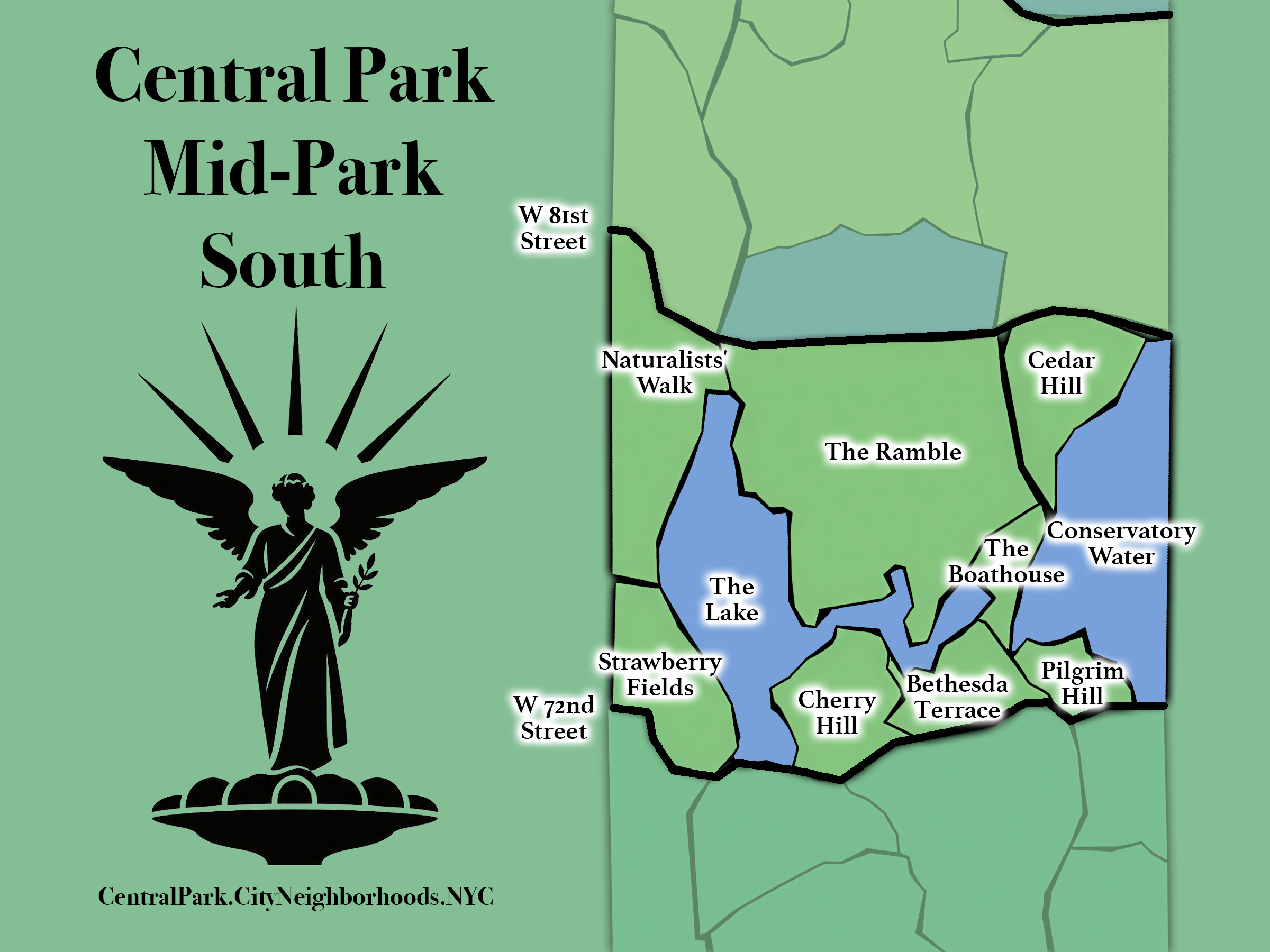
From 72nd - 79th Streets; includes The Lake, Bethesda Terrace, Cherry Hill, The Boathouse, Conservatory Water and The Ramble.
The Map
Geographic Setting
Mid-Park South extends from 72nd Street to 79th Street and occupies one of the most recognizable sections of Central Park. Its neighborhoods include The Lake, Cherry Hill, Strawberry Fields, Bethesda Terrace, Pilgrim Hill, Conservatory Water, The Boathouse, Cedar Hill, The Ramble, and Naturalists’ Walk.
The region combines highly composed civic and recreational landscapes with some of the Park’s most expansive and intricate naturalistic spaces. The waters of The Lake and Conservatory Water anchor much of its southern and eastern geography, while The Ramble and Cedar Hill introduce increasingly dense and irregular terrain toward the north. Together, these landscapes create a region that shifts quickly between formal design, open water, cultivated gathering spaces, and apparent wilderness.
The Landmarks
Etymology and Function
The Landmarks takes its name from the extraordinary concentration of iconic places found within Mid-Park South. Beginning with the culmination of The Mall at Bethesda Terrace, the region widens into a succession of spaces deeply associated with the visual identity of Central Park: Bow Bridge, The Boathouse, Cherry Hill, the miniature flotilla on Conservatory Water, the expanse of The Ramble, and the world-famous Strawberry Fields.
Here, the iconography of Central Park is on full display. Rather than being defined by a single use or landscape type, the region functions as a gathering place for many of the Park’s best-known experiences—waterfronts, promenades, memorial landscapes, architectural settings, recreational traditions, and wooded interiors. The result is a section of the Park in which individual places have become landmarks not only within Central Park, but within the broader image of New York.
Connections & Transitions
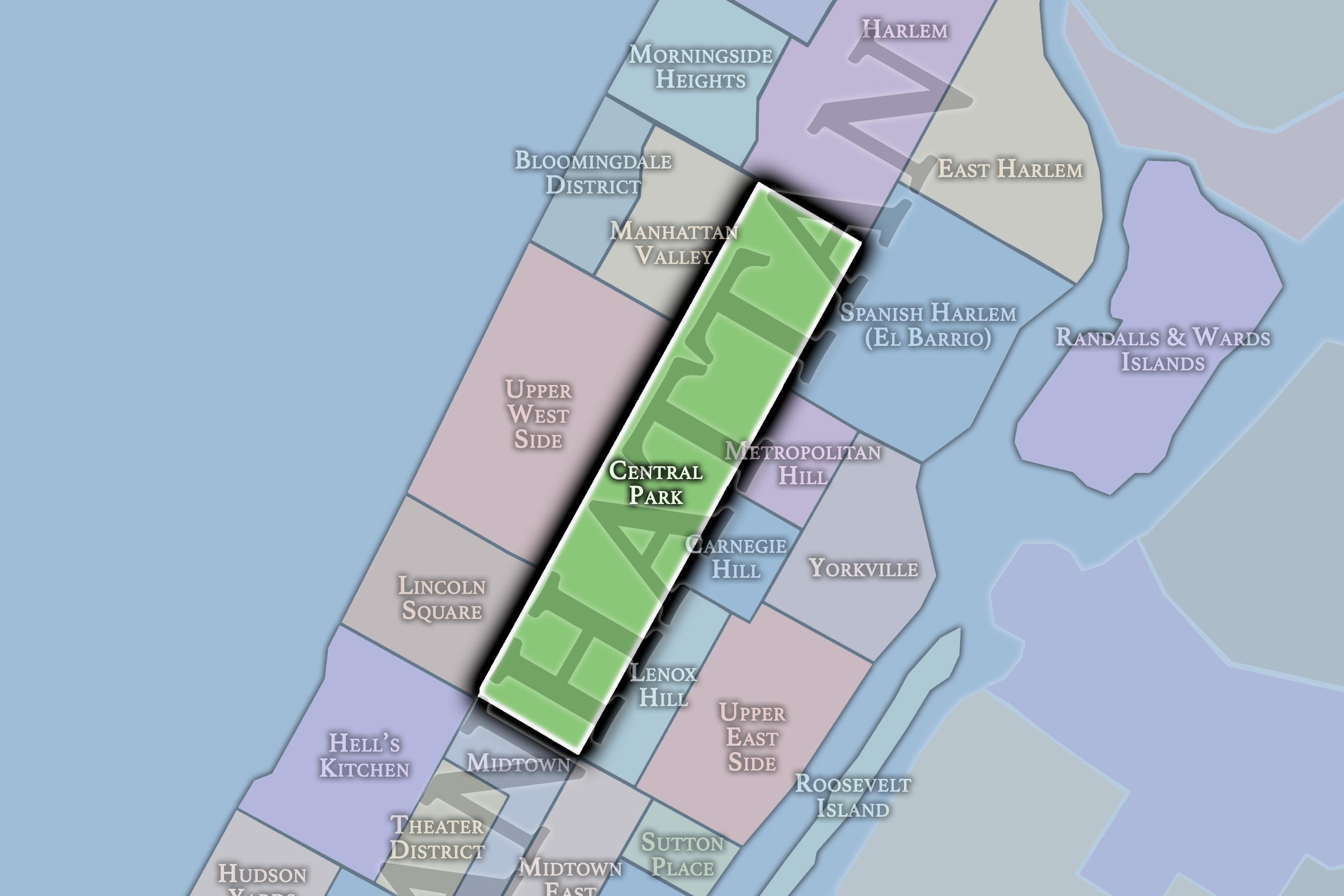
To the west, Mid-Park South meets the Upper West Side, with the San Remo and the American Museum of Natural History forming prominent connections between the Park and the surrounding neighborhood. To the east lie Lenox Hill and the Gold Coast, creating a contrasting urban edge along Fifth Avenue. The region therefore sits between two of Manhattan’s most recognizable residential and cultural environments while retaining an unusually strong internal identity of its own.
From south to north, Mid-Park South becomes progressively less formal and more tangled. Its southern reaches continue the connections established in the South End, opening onto the waters of The Lake and Conservatory Water and a landscape that remains comparatively flat and curated. Moving northward, the terrain becomes increasingly irregular and enclosed, culminating in the dense paths and vegetation of The Ramble and the rising landscape of Cedar Hill. The progression moves from composed landmark spaces toward a more immersive and seemingly wild interior.
The Neighborhoods
The Neighborhoods:
-
Bethesda Terrace
-
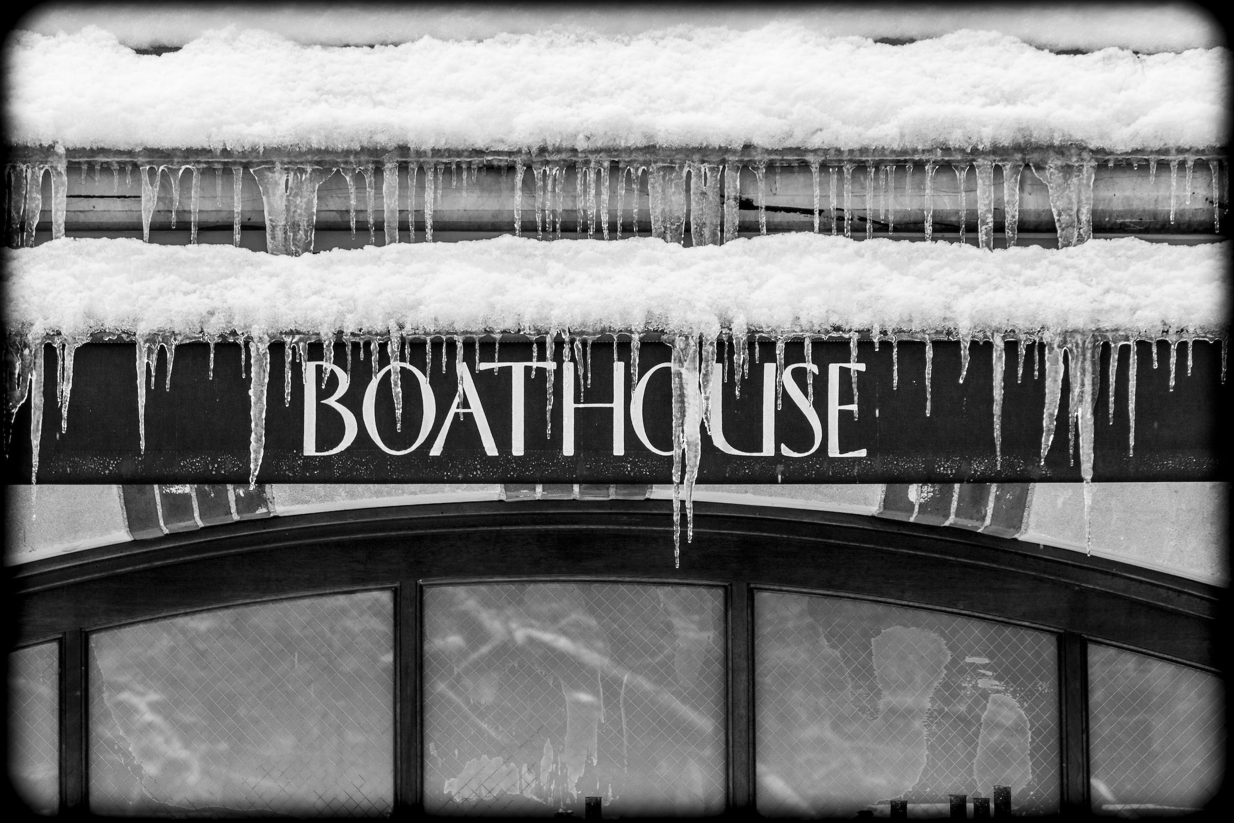
The Boathouse
-
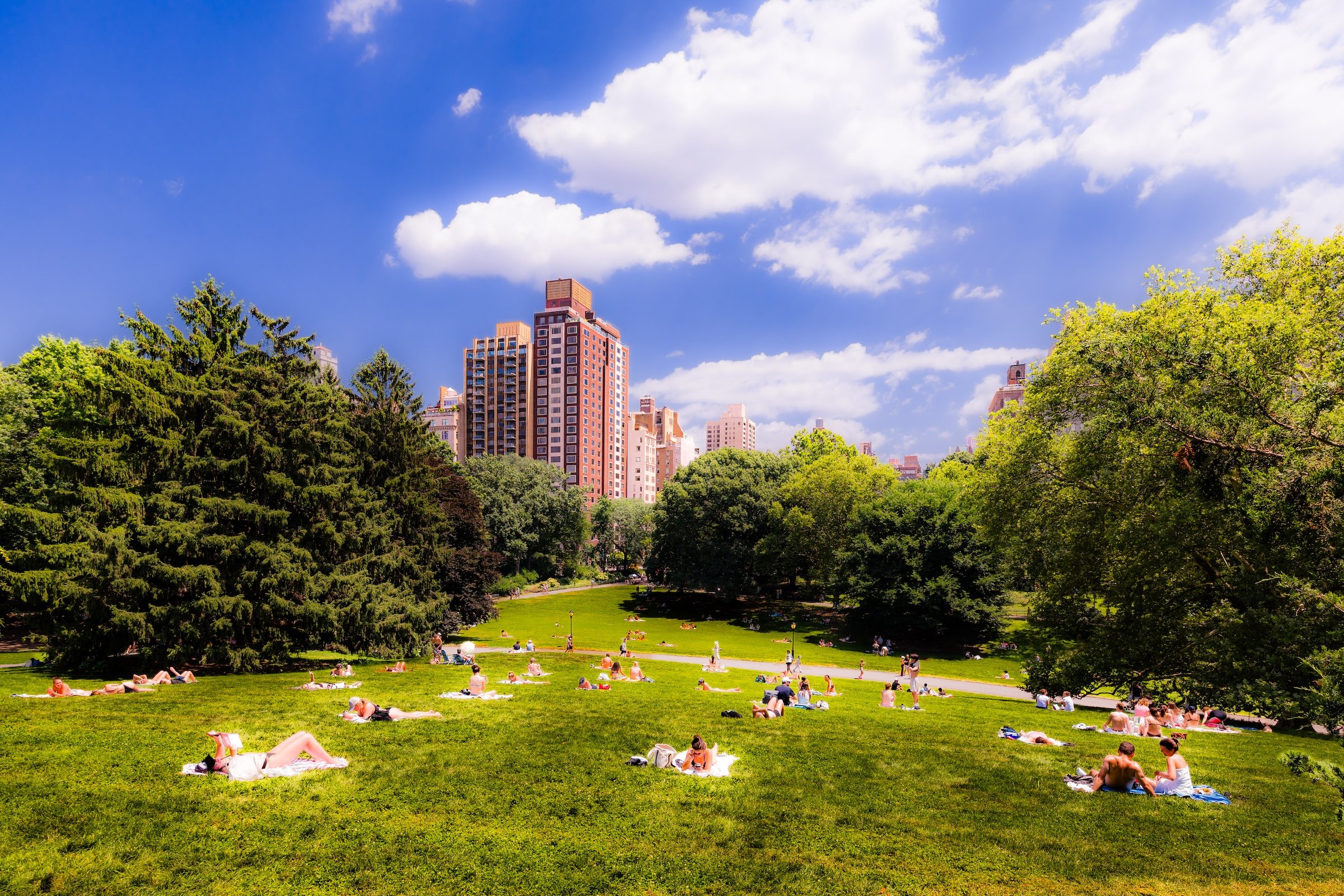
Cedar Hill
-
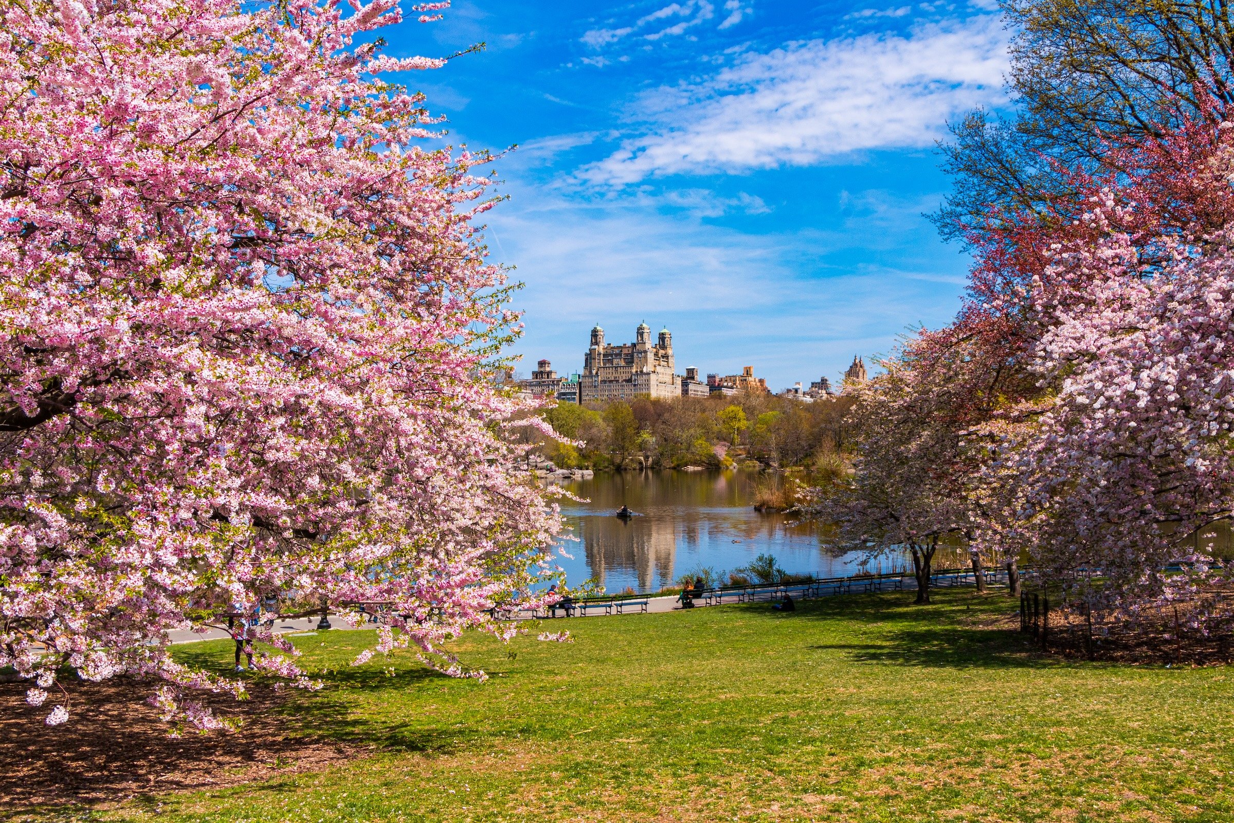
Cherry Hill
-
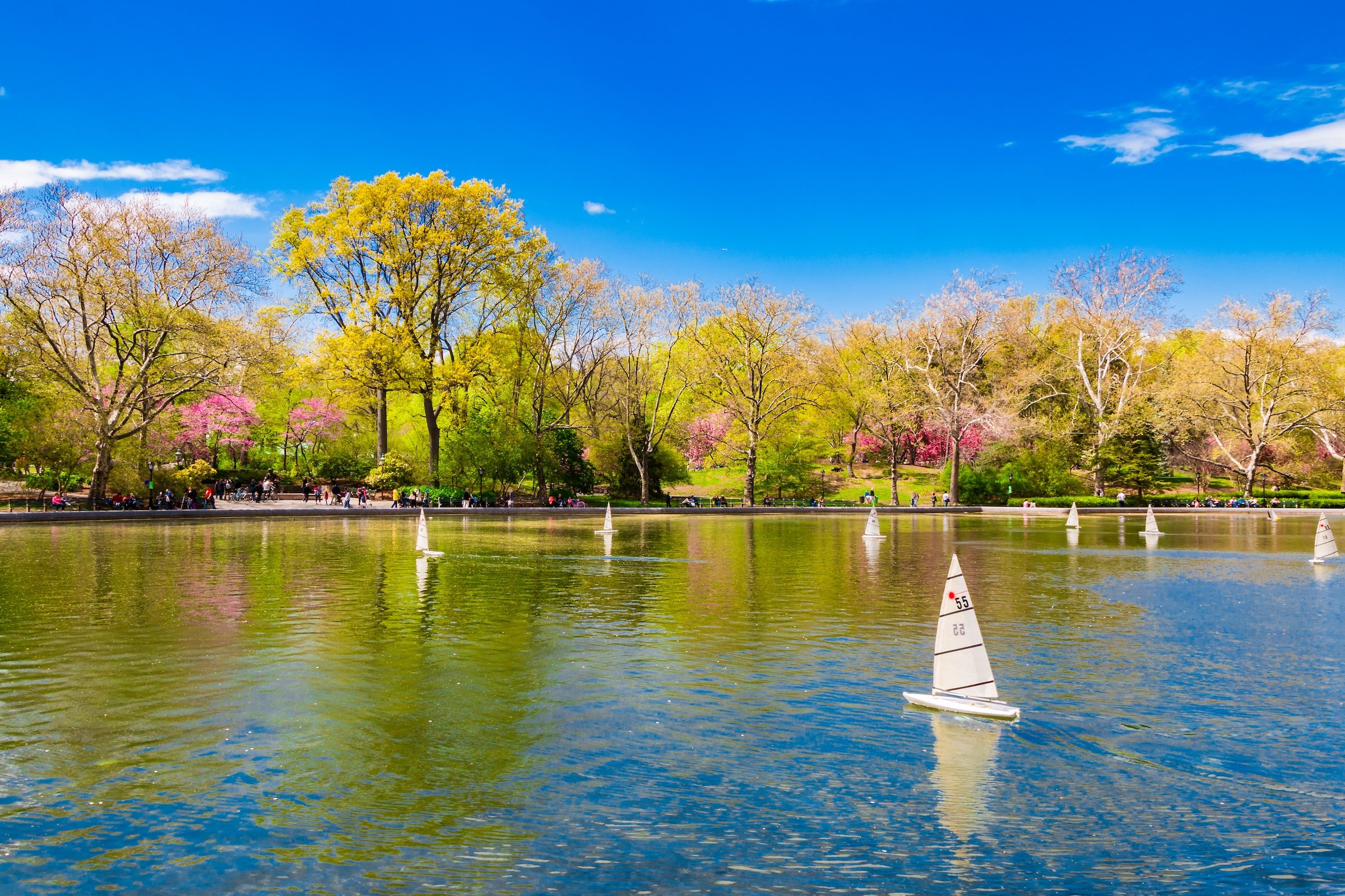
Conservatory Water
-
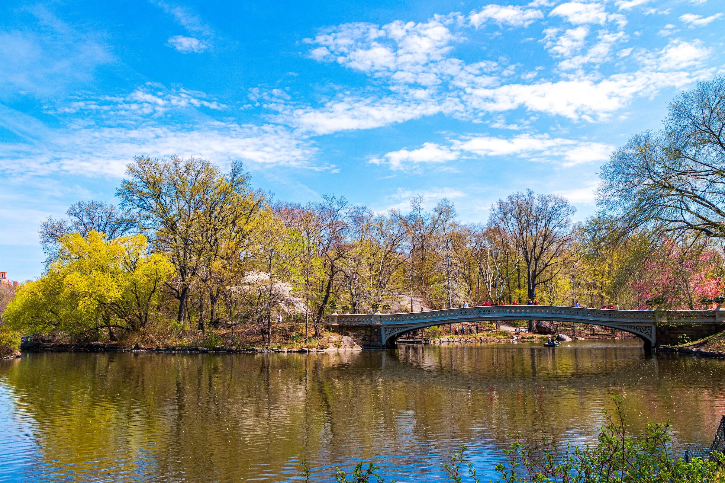
The Lake
-
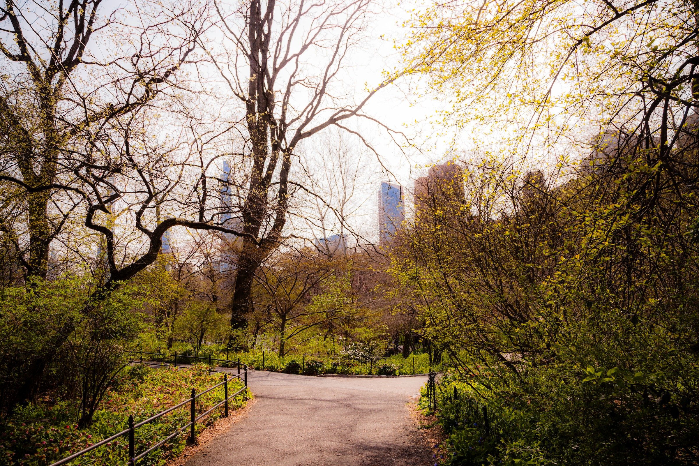
Naturalists' Walk
-
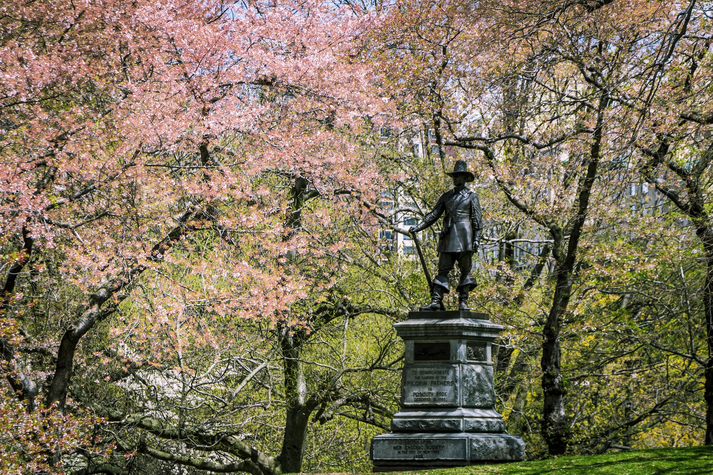
Pilgrim Hill
-
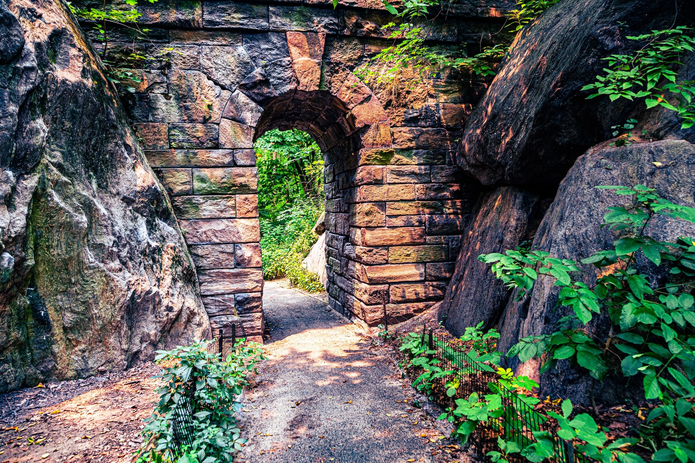
The Ramble
-
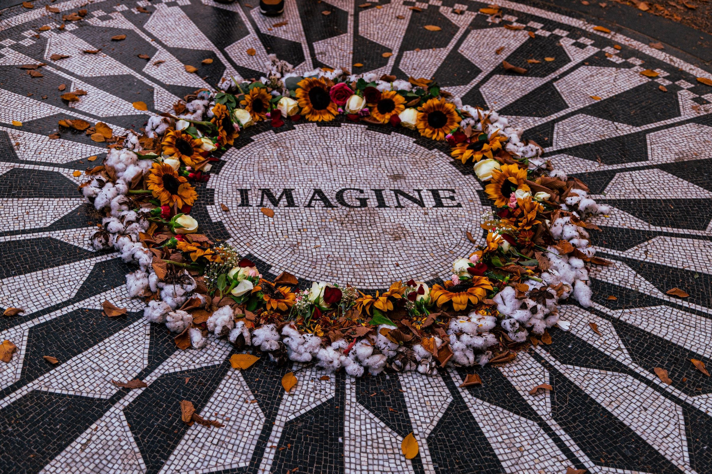
Strawberry Fields
The Iconography
Geographic Icons
Mid-Park South’s major geographic landmarks reveal the region’s remarkable range of landscape forms. The Lake provides its largest body of water and serves as a central geographic presence around which several surrounding neighborhoods are organized. Cherry Hill introduces a more intimate rise within that waterside setting, while The Ramble transforms the region into a dense network of wooded paths and tangled terrain. Farther east, Cedar Hill continues that upward and increasingly irregular movement.
Together, these landscapes produce one of the clearest internal transformations within Central Park: from open water and cultivated spaces into a more enclosed and exploratory environment.
Civic Icons
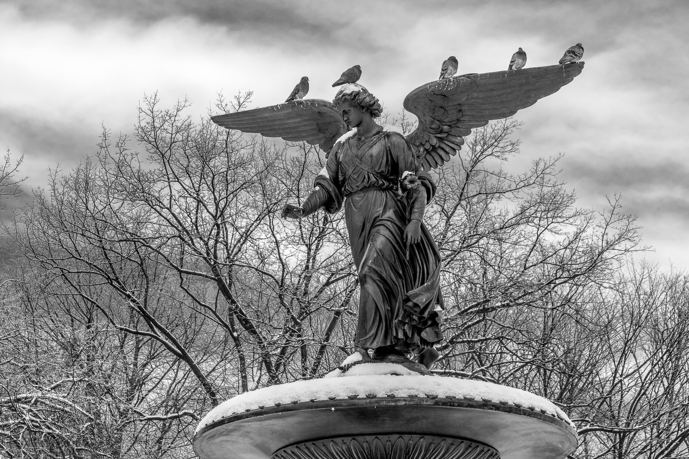
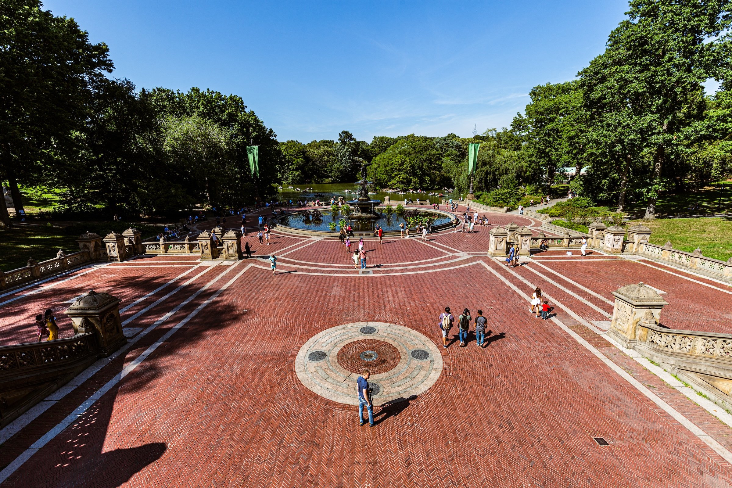
The region’s civic landmarks are among the most recognizable in Central Park. Bethesda Terrace marks the culmination of The Mall and serves as one of the region’s defining gathering places. The Boathouse connects civic activity directly to The Lake, while Strawberry Fields adds a memorial landscape with significance far beyond the Park itself. Conservatory Water, with its miniature boats and highly curated setting, provides another distinctly civic expression of park life.
Together, these places explain the region’s interpretive title. Mid-Park South is not merely a section containing landmarks; it is a place where many of Central Park’s most familiar images, traditions, and public spaces are concentrated within a remarkably compact area.
The Photography
Visual Identity
Central Park has no single visual identity. It moves between open meadow and enclosed woodland, exposed bedrock and carefully planted garden, reflective water and hard-edged skyline. Its paths can narrow into shade beneath old trees, then open suddenly toward towers, lakes, monuments, or a broad field filled with people. The Park’s character is made from those transitions: the designed discovery of one landscape giving way to another.
Water and horizon recur throughout its geography. The Lake, Reservoir, ponds, fountains, and seasonal pools of light create places of reflection—sometimes literal, sometimes figurative—where the city appears fractured, softened, or enlarged. Beyond them, Manhattan’s towers remain present as a constant reminder that this cultivated landscape exists within, not apart from, one of the world’s densest cities.
Its visual language also changes dramatically with the seasons. Winter exposes branches, stone, and skyline; spring briefly turns the Park into blossom and color; summer fills its lawns and paths with activity; autumn intensifies the drama of canopy, water, and light. Central Park is designed to be revisited, and its identity is never fixed for long.
Through The Lens
Photographing Central Park means photographing a dialogue between nature and construction. The camera finds the Park’s deliberate artifice in bridges, arches, terraces, fountains, paths, and carefully framed views—but it also finds moments when that design seems to disappear beneath weather, foliage, water, or human activity. A stone arch becomes a threshold. A bare tree becomes a skyline frame. A meadow becomes a public stage.
The photographs move between intimate and panoramic scales. There are close encounters with sculpture, lampposts, roots, branches, rock, and water; there are also long views across open lawns, reservoirs, and lakes toward the changing skyline. Together, they reveal Central Park as a place of layered vantage points: a landscape built not simply to be looked at, but to direct how one looks.
People remain part of that visual story. Runners, walkers, picnickers, visitors, performers, couples, children, and solitary figures animate the Park without ever fully overwhelming it. Their presence makes clear that Central Park is not an urban backdrop or preserved monument. It is a lived landscape—continually reinterpreted by the people who enter it.
Explore Central Park
-
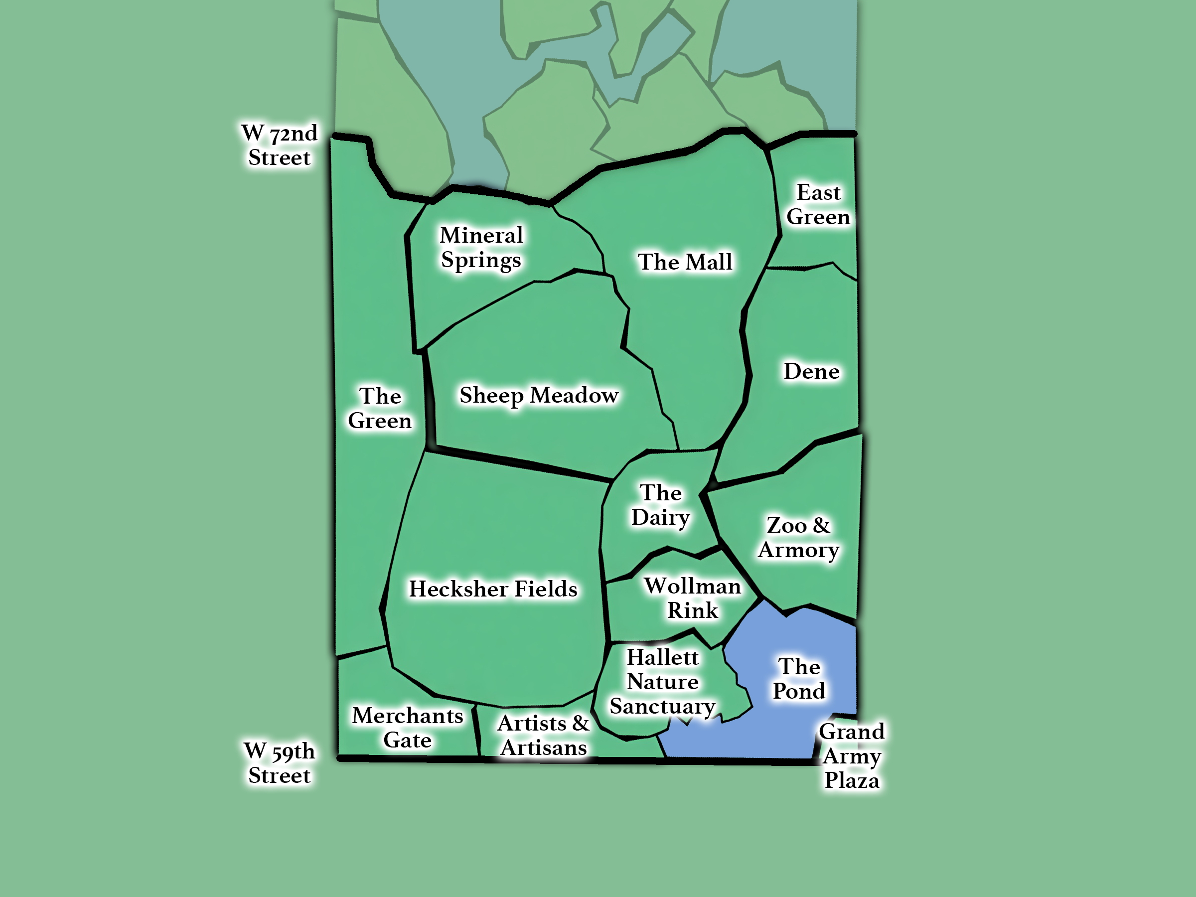
The Southern Gateway
From 59th - 72nd Streets; includes The Central Park Zoo, The Pond, Sheep Meadow, The Mall, and Tavern on the Green.
-
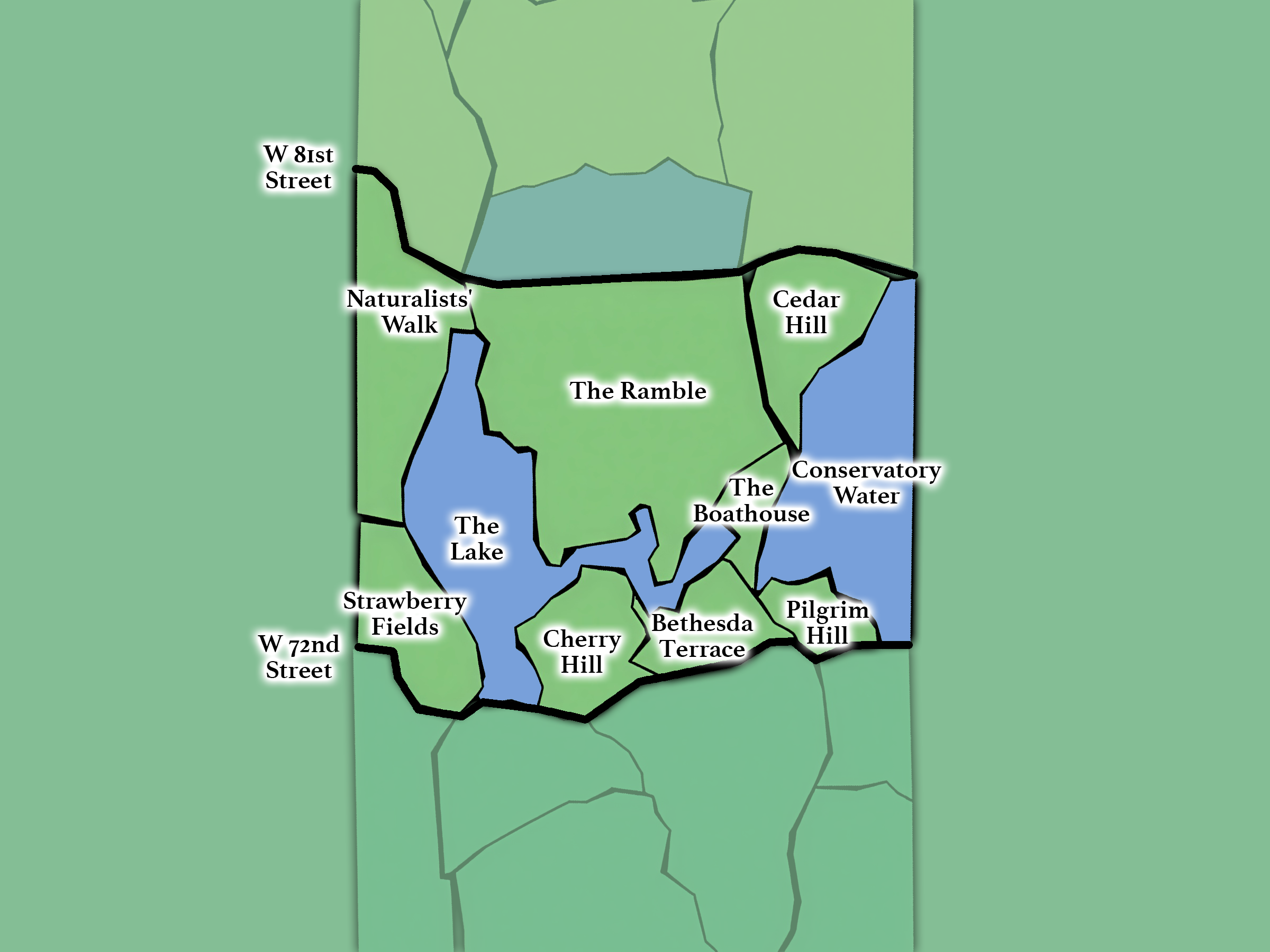
The Landmarks
From 72nd - 79th Streets; includes: The Lake, Cherry Hill, Bethesda Terrace, Conservatory Water, Strawberry Fields, and The Ramble.
-
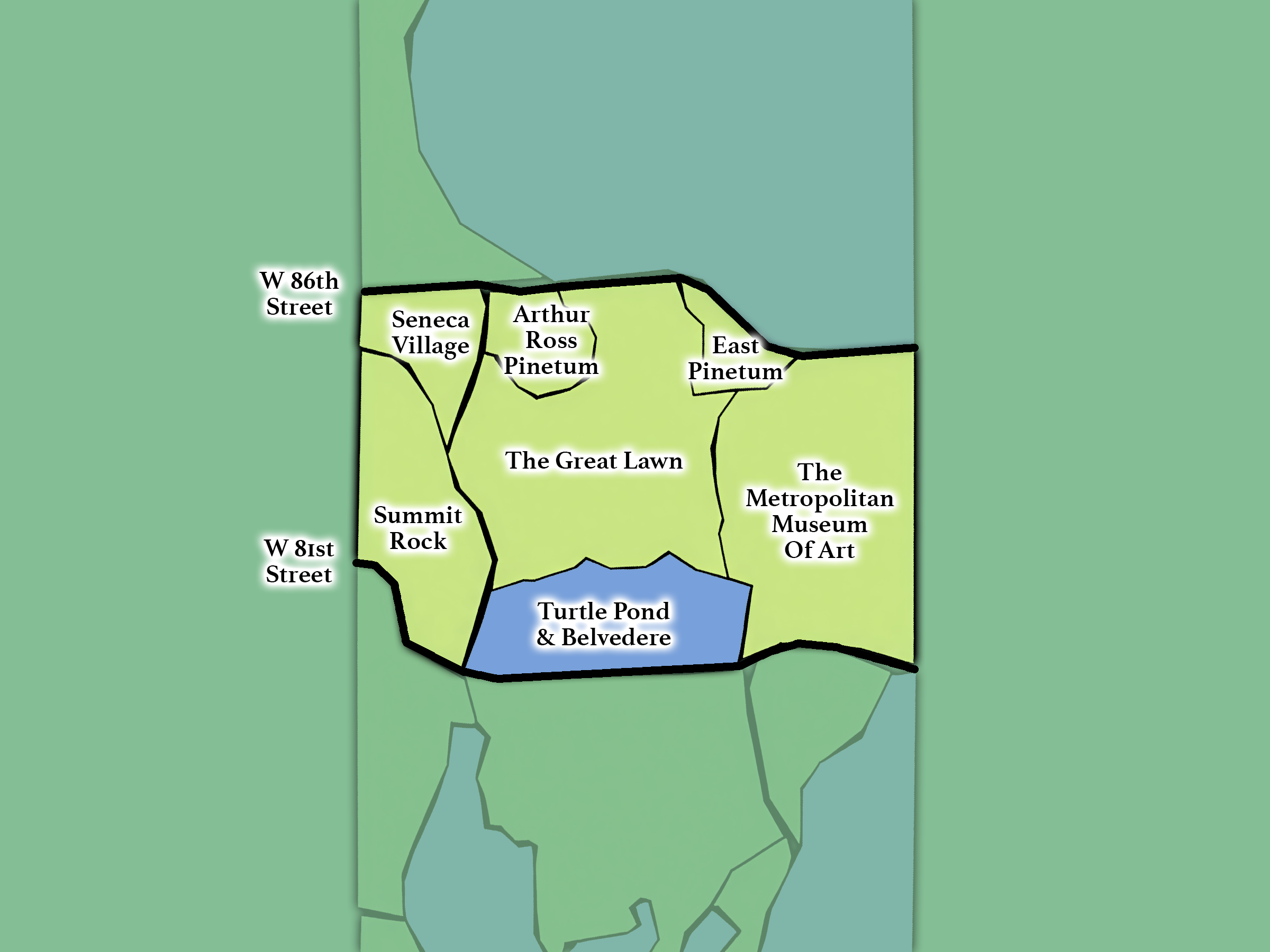
The Heart
From 79th - 86th Streets; includes Belvedere Castle, Turtle Pond, The Great Lawn, Seneca Village, and The Metropolitan Museum of Art.
-
The Reflections
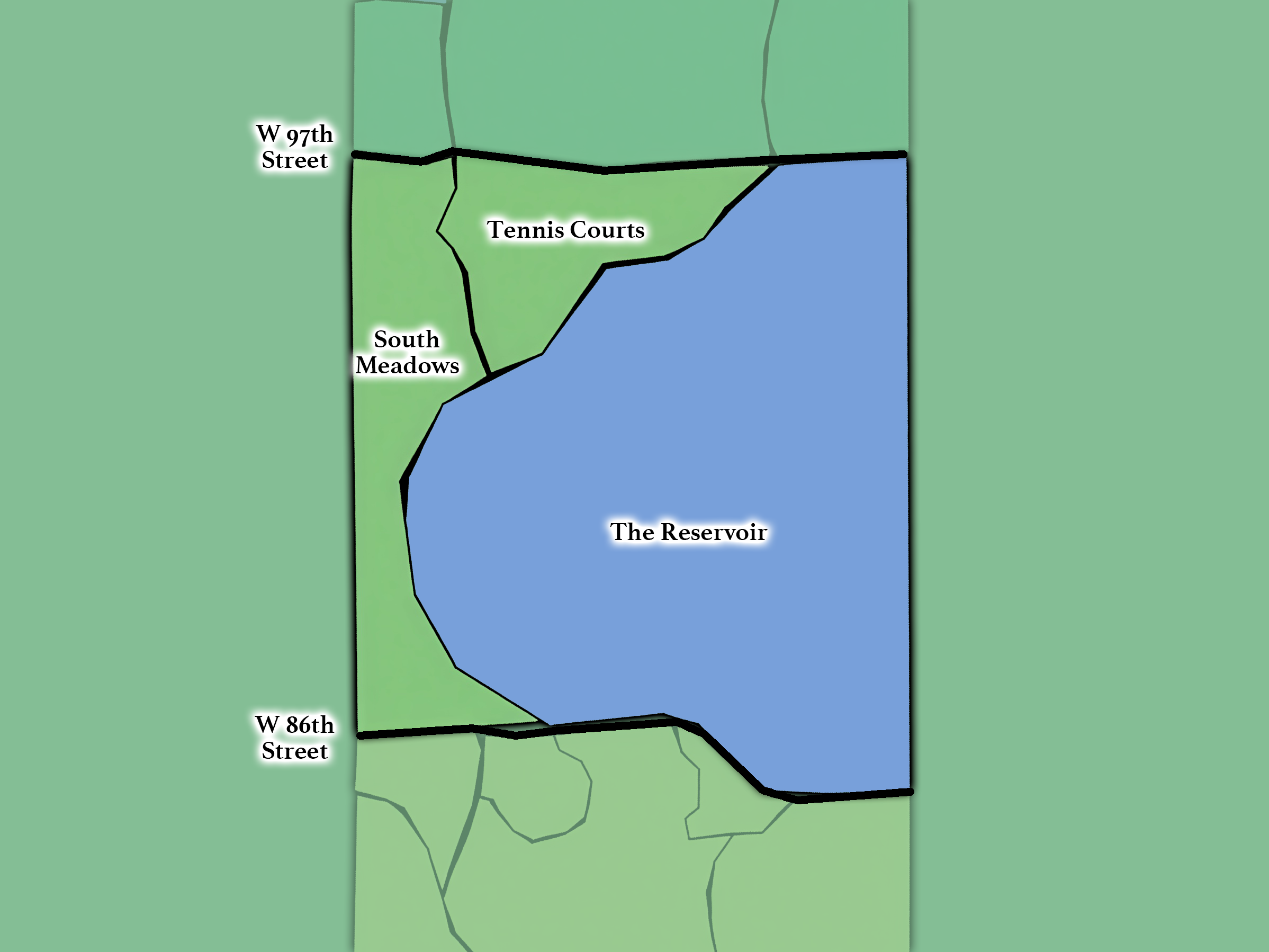
From 86th - 97th Streets; includes the Jacqueline Kennedy Onassis Reservoir and the South Meadows.
-
The Northern Capstone
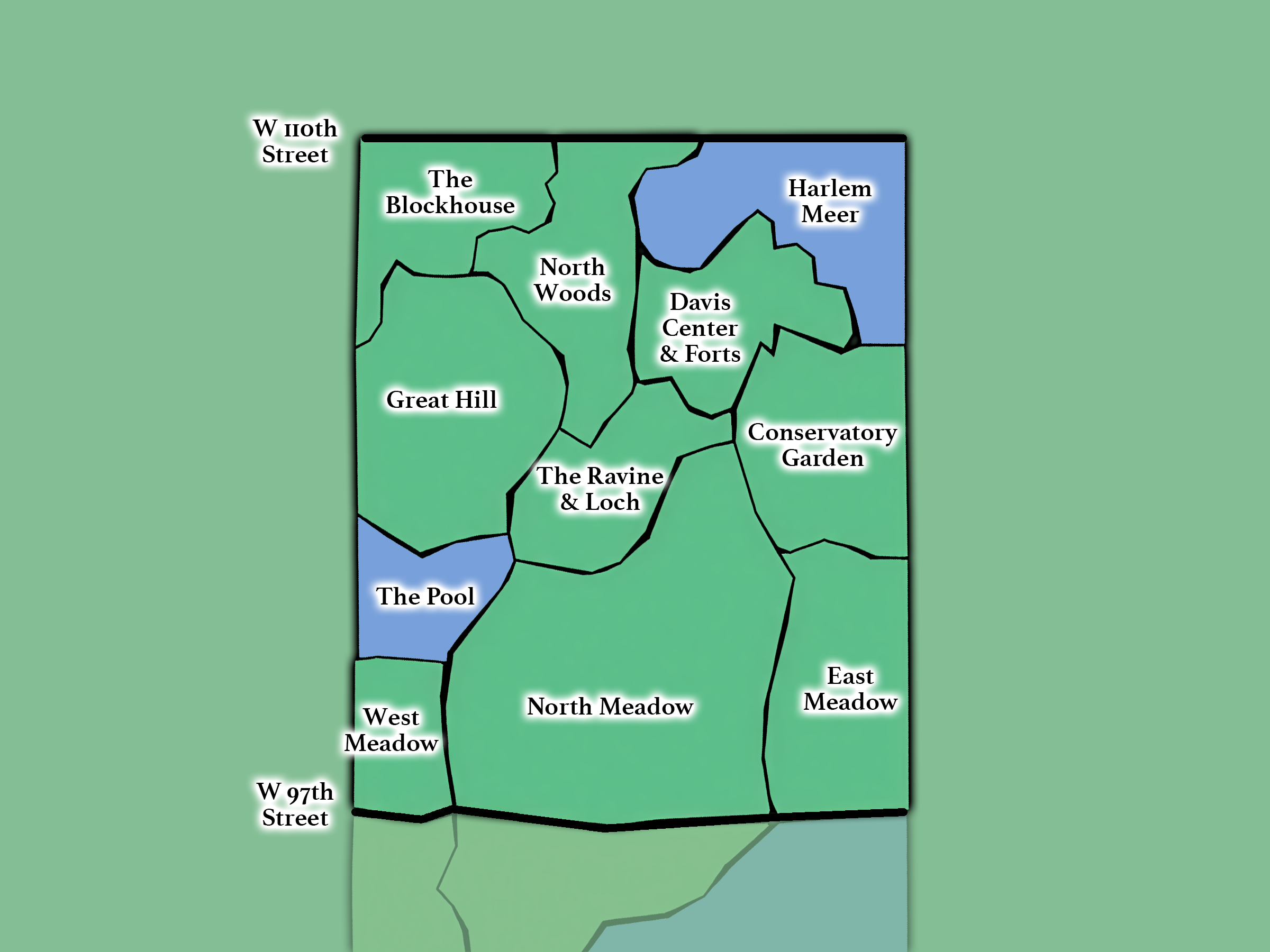
From 97th - 110th Streets; includes: the Meadows, The Pool & Loch, Harlem Meer, The Great Hill, North Woods, and Conservatory Garden.