
SENECA VILLAGE
Location
Geographic Setting
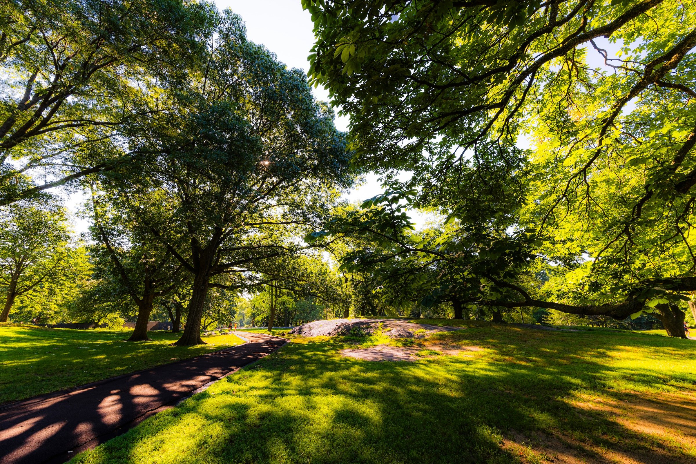
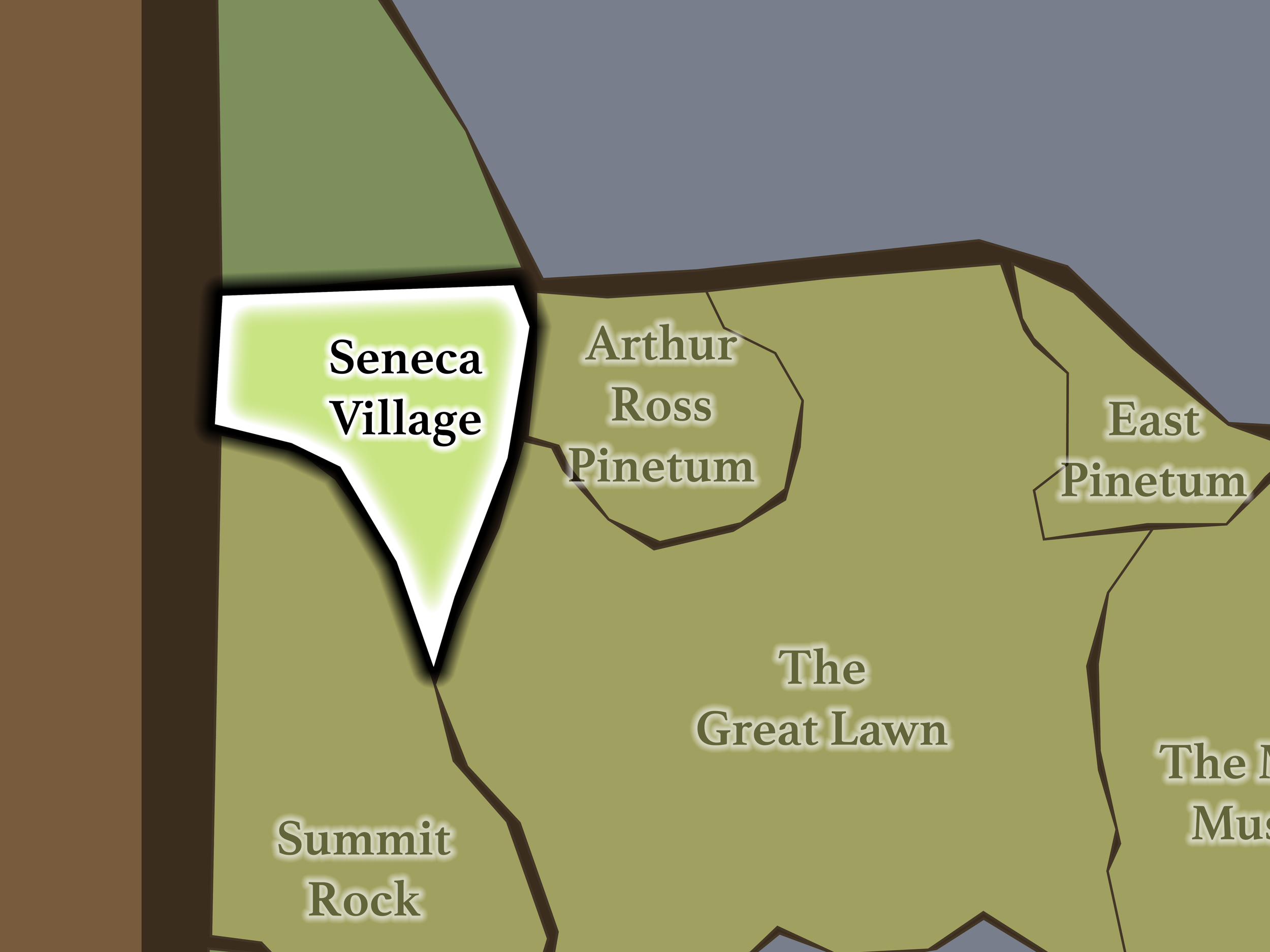
Seneca Village occupies Central Park’s western edge in the West 80s. Summit Rock rises immediately south below West 85th Street; Central Park West separates the landscape from the Upper West Side; Rolling Meadows begins beyond the 86th Street Transverse; and Arthur Ross Pinetum and The Great Lawn lie across West Drive to the east.
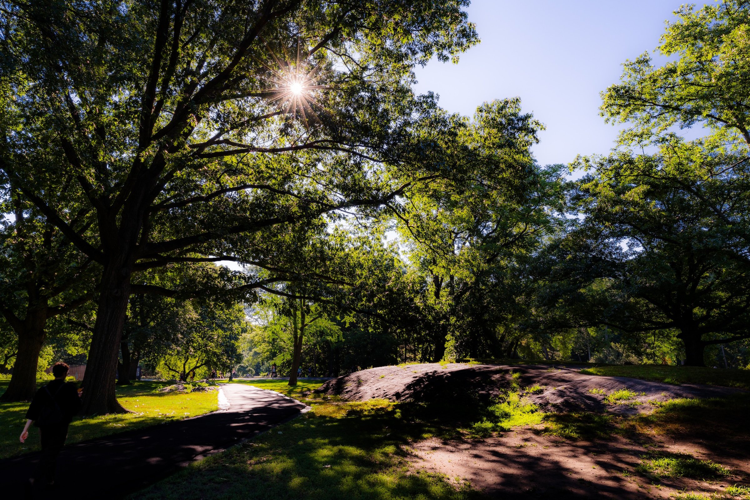
The landscape is unusually quiet and irregular, characterized by exposed Manhattan schist, wooded slopes, winding paths and low wet areas. Those natural features are particularly meaningful here because some existed when Seneca Village did. The Conservancy’s interpretive program deliberately uses the surviving terrain to help visitors reconstruct the lost community in place.
Etymology
Seneca Village preserves the name of the predominantly African American community that occupied this western landscape before Central Park existed. Established beginning in 1825, the village grew into one of antebellum New York’s most significant communities of Black property owners, later including Irish and some German residents as well. By 1855, approximately 225 people lived there.
The significance of property ownership was especially profound. New York imposed a property requirement on Black men seeking the vote, and Seneca Village contained an unusually high concentration of Black property owners who could therefore qualify for suffrage. In 1845, ten of approximately 100 Black New Yorkers eligible to vote lived in the village.
History
1858–1873: Greensward Plan & Construction
Seneca Village creates perhaps the clearest instance anywhere in Central Park where the Greensward Plan overwrote an existing human landscape.
The community began when landowner John Whitehead sold parcels to members of the African Methodist Episcopal Zion Church in 1825. Over the following three decades, Seneca Village developed homes, three churches, a school, burial grounds, gardens and roads. Many residents owned their property, contradicting nineteenth-century portrayals that dismissed communities within the proposed park site as collections of impoverished squatters.
When New York selected the site for Central Park, the City acquired the land through eminent domain. Seneca Village residents were compensated for their property but forced to leave by 1857, along with other people displaced from the future park. The streets, buildings and community disappeared beneath the new landscape.
Here, then, Olmsted and Vaux did not merely reshape topography. Central Park replaced an established neighborhood.
1858–1899: Early History & Grand Openings
By the time Central Park began welcoming visitors, Seneca Village no longer existed as a visible community.
Its former property lines, houses, churches and lanes were absorbed into newly designed parkland. Roads and paths were rerouted, vegetation changed, and the village gradually disappeared from public memory. Yet some of its underlying geography survived—notably the substantial rock formations, slopes and water sources that had influenced where residents built and moved through the landscape.
For generations, visitors could walk directly across the former village without any indication that a community had once stood there.
20th Century: Transformation & Restoration
Seneca Village remained largely absent from popular Central Park history until researchers began reconstructing its story during the late twentieth century. Conservancy research associated with park restoration in the 1980s mapped pre-Park structures and natural features, followed by more focused historical and archaeological investigation beginning in the 1990s.
Explore
21st Century: Renovation & Modernization
A major archaeological excavation in 2011 uncovered foundation walls and thousands of artifacts associated with village residents, providing physical evidence of a community whose buildings had disappeared above ground. Subsequent archaeological investigations continued through 2021, particularly where park restoration work might affect the historic site.
The rediscovery transformed Seneca Village from an almost forgotten pre-Park settlement into an increasingly important part of how Central Park understands and interprets its own creation.
Today, Seneca Village is an unusually introspective Central Park landscape.
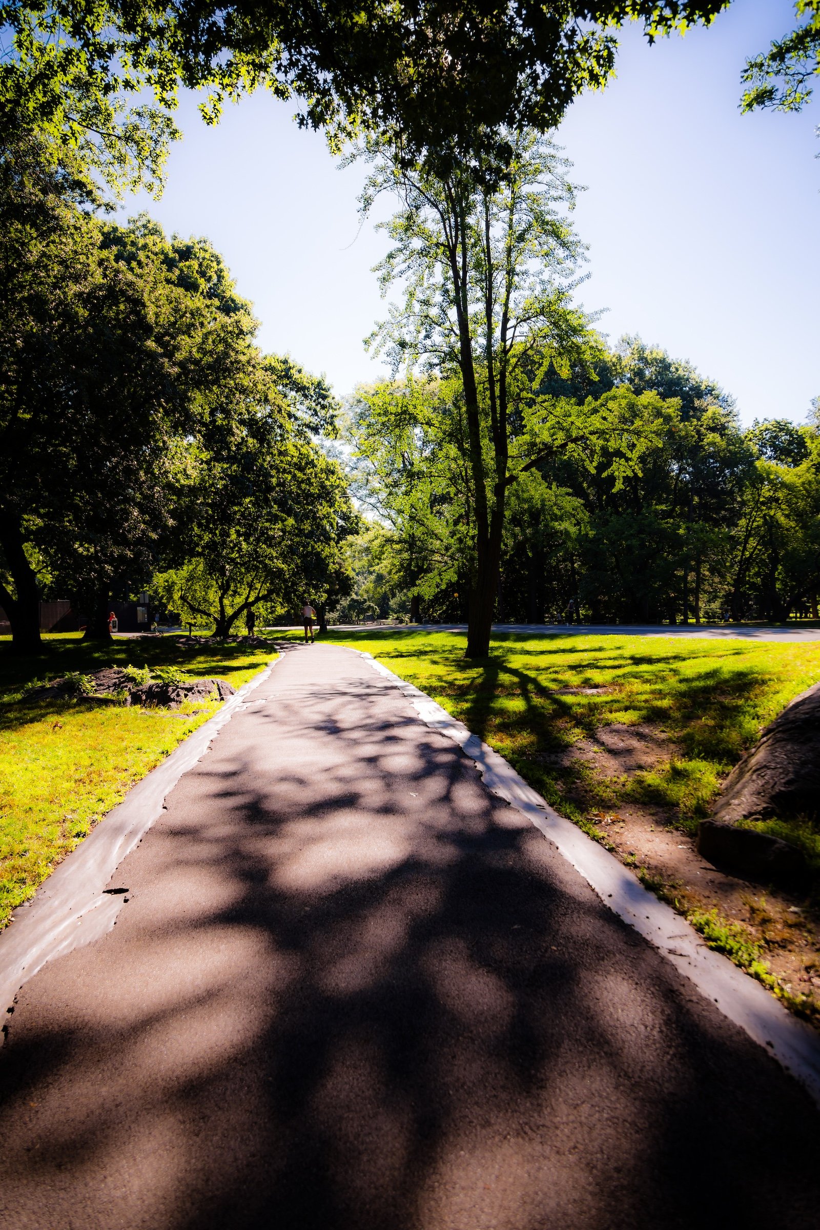
There are no surviving houses, churches or other above-ground structures from the village. Instead, visitors encounter rock outcrops, streams and wet ground, wooded paths and changes in elevation—the physical landscape upon which the community once existed.
Waypoints
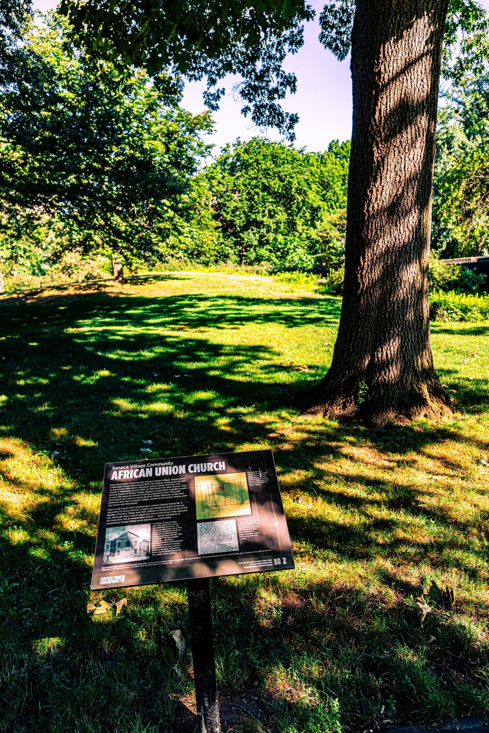
Since 2019, the Conservancy’s Discover Seneca Village outdoor exhibition has used interpretive signs placed at historically significant locations to reconnect that landscape with the people who lived there. The full exhibit consists of 16 signs, identifying former churches, homes, gardens, streets and natural features and introducing individual residents and aspects of community life.
The experience consequently asks visitors to do something unusual in Central Park: look at what is no longer visible.
A rock formation becomes evidence of an old property boundary. A quiet slope becomes the former setting of homes. Paths cross landscapes once occupied by churches and gardens. The absence itself becomes part of the place.
The interpretive signs are currently being temporarily relocated while the West 85th Street Playground is reconstructed, with an updated walking route provided by the Conservancy.
-
One of Central Park’s largest playgrounds occupies part of the Seneca Village landscape. Originally constructed in the 1930s as Marginal Playground #16 and later known for Abraham and Joseph Spector, it is currently being comprehensively reconstructed with explicit consideration of its location within the historic village site.
Photography
Visual Identity
Central Park has no single visual identity. It moves between open meadow and enclosed woodland, exposed bedrock and carefully planted garden, reflective water and hard-edged skyline. Its paths can narrow into shade beneath old trees, then open suddenly toward towers, lakes, monuments, or a broad field filled with people. The Park’s character is made from those transitions: the designed discovery of one landscape giving way to another.
Water and horizon recur throughout its geography. The Lake, Reservoir, ponds, fountains, and seasonal pools of light create places of reflection—sometimes literal, sometimes figurative—where the city appears fractured, softened, or enlarged. Beyond them, Manhattan’s towers remain present as a constant reminder that this cultivated landscape exists within, not apart from, one of the world’s densest cities.
Its visual language also changes dramatically with the seasons. Winter exposes branches, stone, and skyline; spring briefly turns the Park into blossom and color; summer fills its lawns and paths with activity; autumn intensifies the drama of canopy, water, and light. Central Park is designed to be revisited, and its identity is never fixed for long.