
SUMMIT ROCK
Location
Geographic Setting
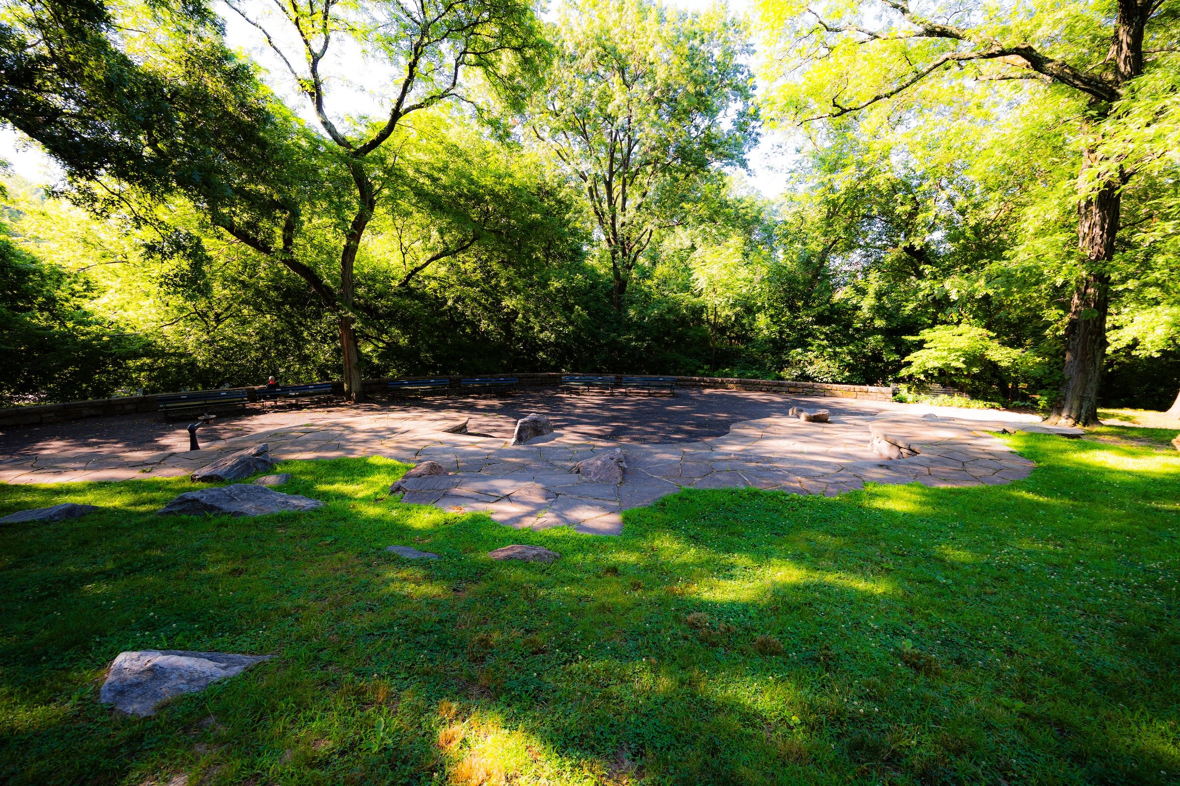
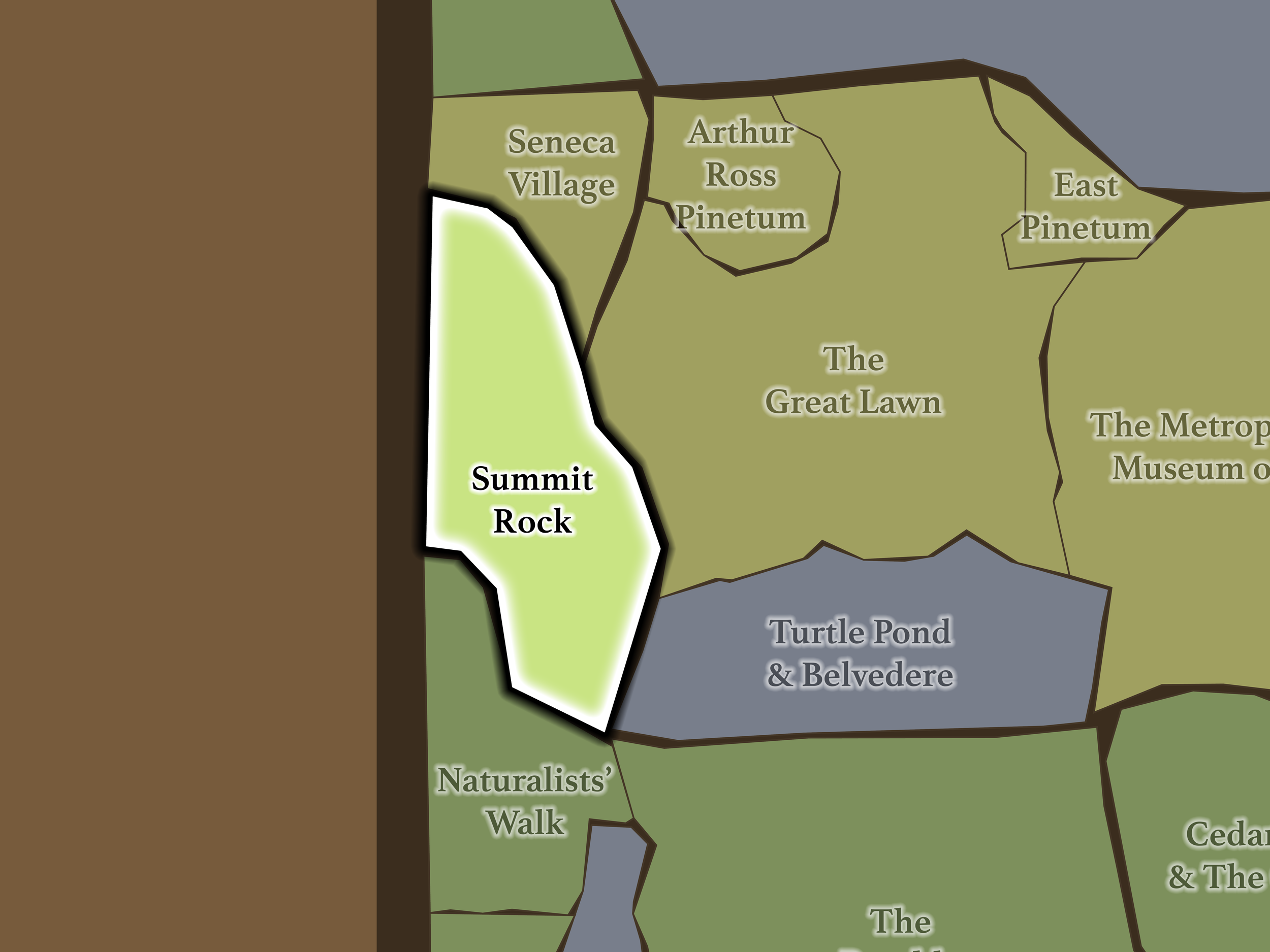
Summit Rock occupies the western edge of Mid-Park between roughly West 81st and West 85th Streets. Seneca Village continues north above West 85th Street; The Great Lawn and Turtle Pond & Belvedere lie across West Drive; Naturalists’ Walk begins beyond the 79th Street Transverse to the south; and Central Park West separates the landscape from the Upper West Side.
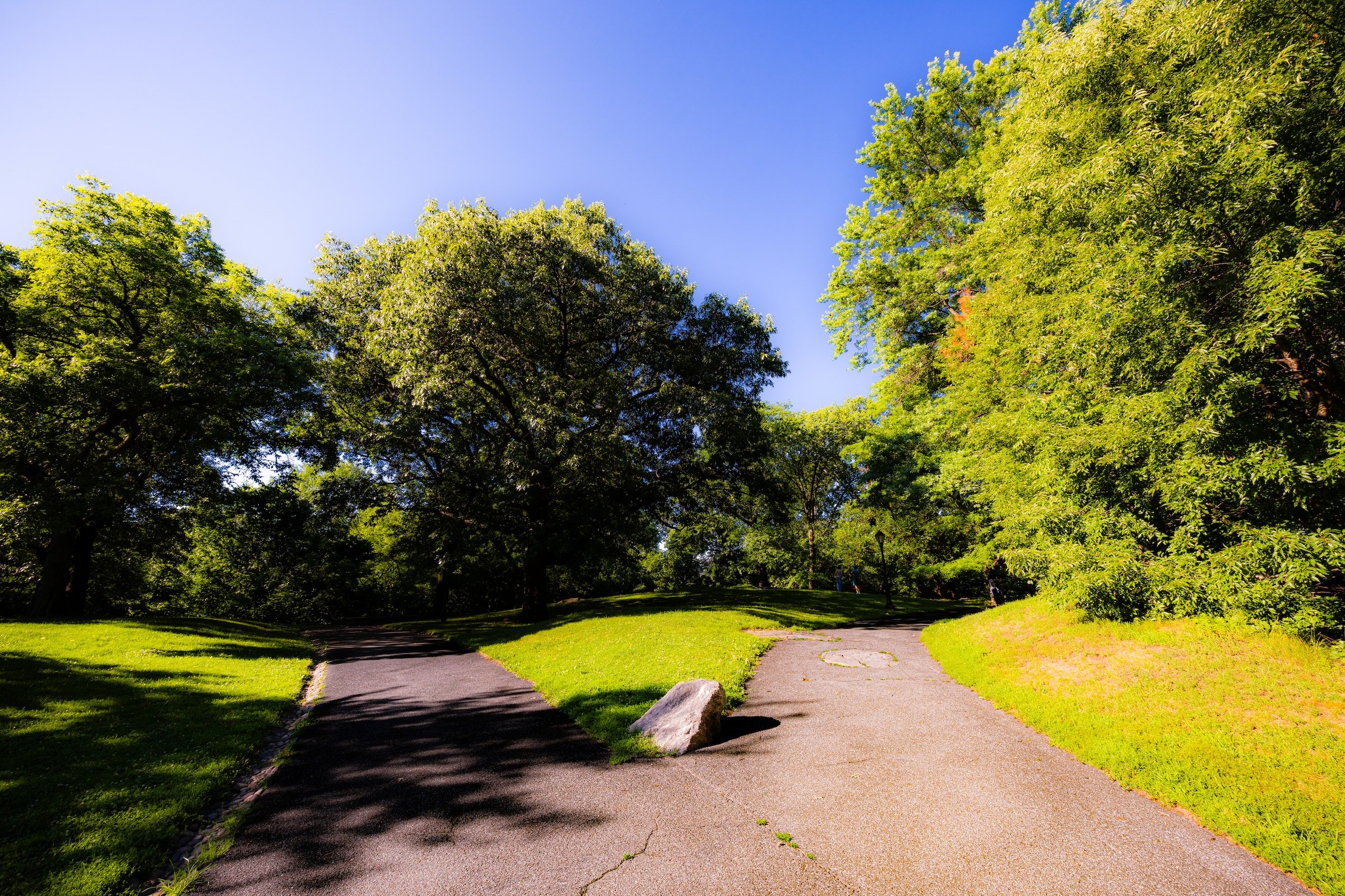
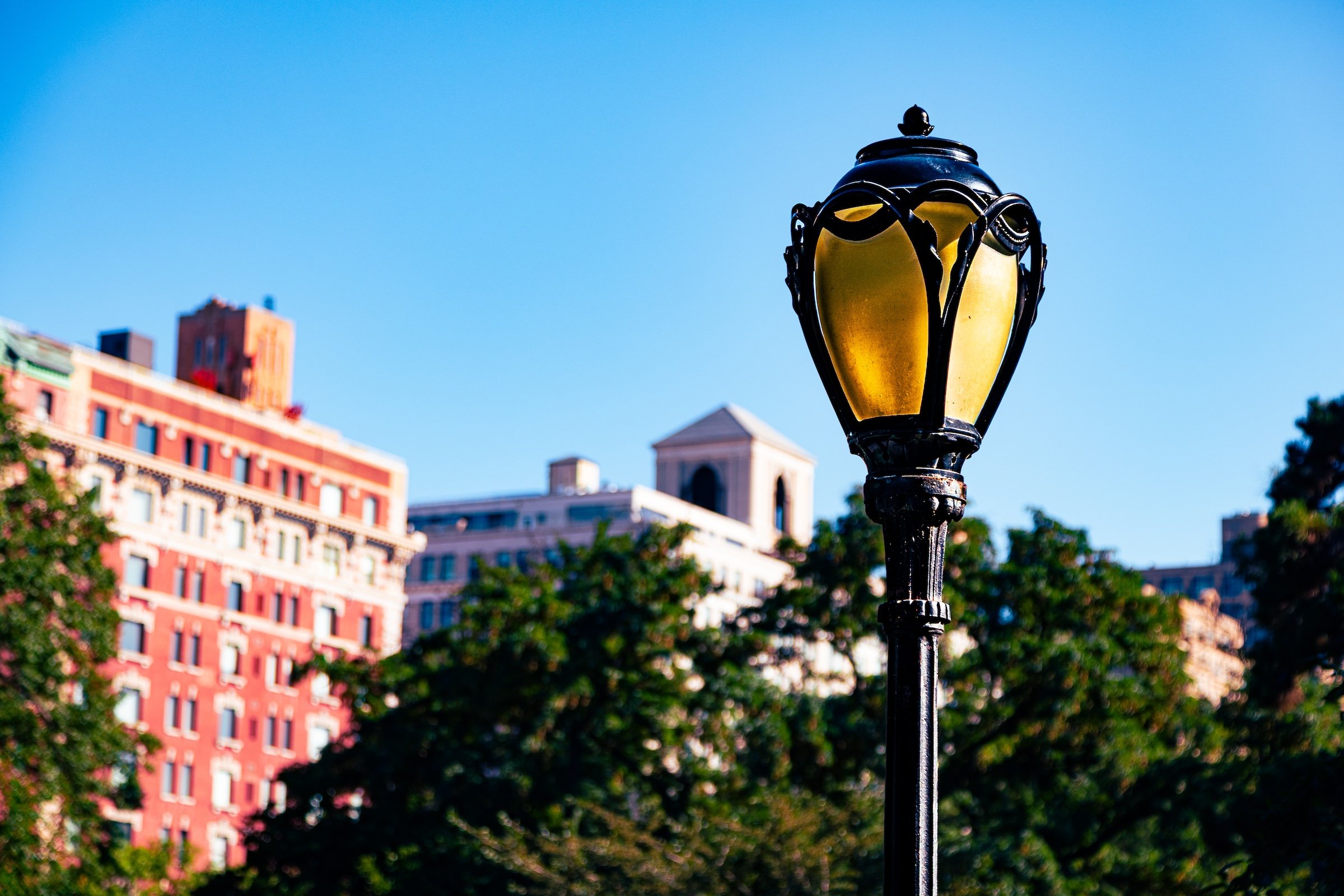
The neighborhood rises dramatically from the park edge toward Summit Rock itself. Carved stone steps ascend the southern slope, while lawns, exposed bedrock and wooded paths surround the summit. Though buildings and mature trees have diminished its once-expansive views, a narrow sightline toward the Hudson remains along West 83rd Street.
Etymology
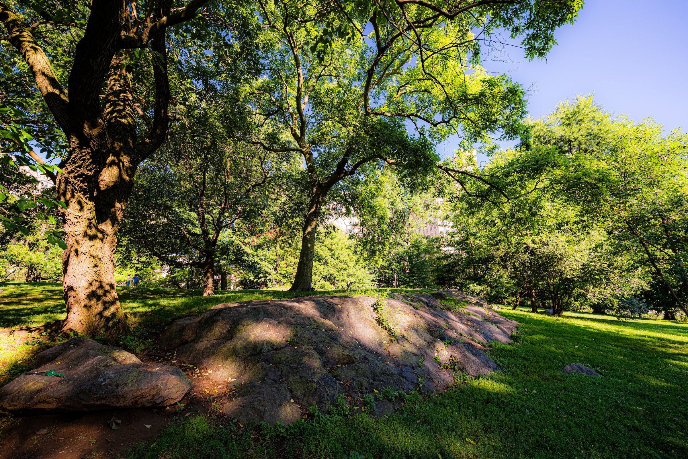
Summit Rock is named for the massive schist outcrop that forms the highest natural elevation in Central Park, rising to approximately 141.8 feet above sea level. Before the park existed, the same landform was part of Seneca Village and was known to residents as Nanny Goat Hill, likely reflecting its use for grazing livestock.
The modern name therefore describes precisely what makes the landscape distinctive: this is Central Park’s natural summit.
History
1858–1873: Greensward Plan & Construction
Summit Rock was already one of the most consequential landforms in this part of Manhattan before Olmsted and Vaux arrived. It stood within the landscape of Seneca Village, overlooking homes, gardens and surrounding countryside. Its elevation provided views west toward the Hudson River and Palisades and east toward the Croton Receiving Reservoir.
When Central Park displaced Seneca Village in 1857, the designers retained the rock rather than reshaping it away. They recognized its commanding elevation and incorporated it into the new park as both a carriage and pedestrian overlook. This is one of the clearest examples of Olmsted and Vaux allowing a powerful existing landform to determine the design around it.
1858–1899: Early History & Grand Openings
During Central Park’s nineteenth-century development, Summit Rock became a destination for its views. Visitors could climb the outcrop or approach by carriage and look westward across the Hudson toward New Jersey—an experience far more expansive than is possible today.
A natural spring near the southern base also acquired an unusual identity in 1880. Physician Henry S. Tanner undertook a highly publicized forty-day fast while reportedly drinking water supplied from the spring, which subsequently became known as Tanner’s Spring. The spring had an earlier and more consequential history as a likely water source for Seneca Village.
20th Century: Transformation & Restoration
The western park edge became increasingly recreational during the twentieth century. Playgrounds were constructed along Central Park West during the Robert Moses era in the 1930s, including the predecessors of today’s Diana Ross Playground and Toll Family Playground.
Diana Ross Playground acquired its present identity following Ross’s celebrated 1983 concerts on the Great Lawn. She subsequently funded restoration of the playground, which reopened in 1987 bearing her name. Toll Family Playground was comprehensively reconstructed by the Conservancy in 2016.
Summit Rock itself was restored in 1997, with work renewing the landscape and its stone seating while preserving the outcrop as one of Central Park’s great natural overlooks.
Explore
21st Century: Renovation & Modernization
Today, Summit Rock is an unusually quiet counterpart to Mid-Park’s major destinations.
There is no castle, formal garden or expansive recreational field here. Instead, the experience is defined by rock, elevation, shade and small-scale discovery. The summit provides a cool place to linger on warm days, with benches and exposed stone beneath mature trees; lower paths wind among slopes, playgrounds and Tanner’s Spring.
Its western location also makes it particularly valuable as a neighborhood park landscape for the Upper West Side. Visitors can enter at Mariner’s Gate and almost immediately exchange Central Park West for rocky slopes and tree cover.
The landscape is also continuing to evolve. The Conservancy currently has a full reconstruction of Diana Ross Playground in design, including new play equipment, improved plantings and accessible paths connecting the playground more naturally to its surrounding landscape.
Yet the most important feature remains essentially unchanged: the rock itself. More than 140 feet above sea level, Summit Rock is still the highest natural point in Central Park and one of the clearest places to encounter the geology upon which the park—and the city around it—was built.
Waypoints
-
Originally created during the 1930s playground-building campaign, the playground was restored and renamed after Diana Ross funded improvements following her legendary 1983 Great Lawn concerts. A new comprehensive reconstruction is currently in design
-
The West 85th Street entrance provides one of the most direct approaches to Summit Rock from the Upper West Side. Its name belongs to Central Park’s nineteenth-century system of gates honoring the occupations and identities of New Yorkers.
-
One of Central Park’s surviving natural springs, it likely supplied water to Seneca Village before the park existed. Its present name recalls Dr. Henry Tanner’s much-publicized forty-day fast in 1880, during which he drank water brought from the spring.
-
Located at the base of Summit Rock near West 84th Street, this playground traces its origins to 1936 and was reconstructed in 2016 with updated play equipment, landscaping and improved accessibility.
Photography
Visual Identity
Central Park has no single visual identity. It moves between open meadow and enclosed woodland, exposed bedrock and carefully planted garden, reflective water and hard-edged skyline. Its paths can narrow into shade beneath old trees, then open suddenly toward towers, lakes, monuments, or a broad field filled with people. The Park’s character is made from those transitions: the designed discovery of one landscape giving way to another.
Water and horizon recur throughout its geography. The Lake, Reservoir, ponds, fountains, and seasonal pools of light create places of reflection—sometimes literal, sometimes figurative—where the city appears fractured, softened, or enlarged. Beyond them, Manhattan’s towers remain present as a constant reminder that this cultivated landscape exists within, not apart from, one of the world’s densest cities.
Its visual language also changes dramatically with the seasons. Winter exposes branches, stone, and skyline; spring briefly turns the Park into blossom and color; summer fills its lawns and paths with activity; autumn intensifies the drama of canopy, water, and light. Central Park is designed to be revisited, and its identity is never fixed for long.