
SOUTH END
(59th-72nd Streets)
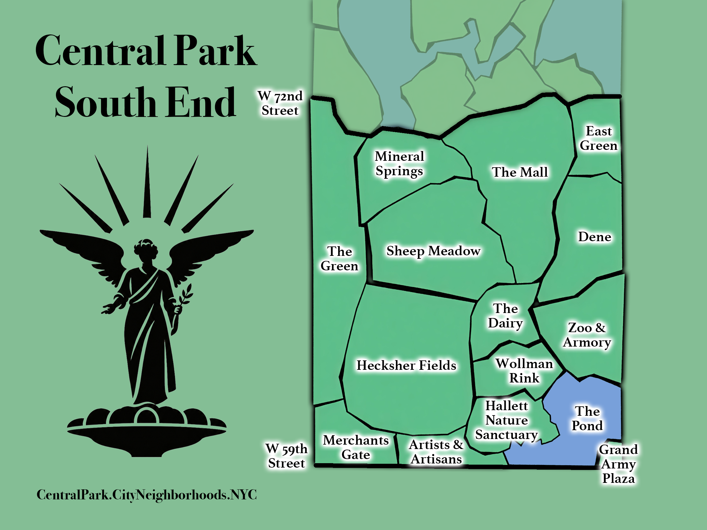
From 59th - 72nd Streets; includes The Central Park Zoo, The Pond, Sheep Meadow, The Mall, and Tavern on the Green.
The Map
Geographic Setting
The South End occupies the southernmost band of Central Park, extending from 59th Street to 72nd Street. It contains some of the Park’s most familiar landscapes and heavily traveled spaces, from the rocky terrain surrounding The Pond and Wollman Rink to the broad openness of Sheep Meadow and the formal promenade of The Mall. Its neighborhoods range from civic and recreational centers such as Zoo & Armory and Heckscher Fields to quieter landscapes including Hallett Nature Sanctuary, Mineral Springs, Dene, and East Green.
As the Park’s principal southern threshold, the South End is also its most immediate point of contact with Midtown Manhattan. Rather than presenting a single landscape character, the region introduces many of the forms that recur throughout Central Park: exposed rock, woodland, water, lawns, recreational spaces, formal promenades, civic institutions, and gathering places.
The Southern Gateway
Etymology and Function
The Southern Gateway describes both the location and the function of the South End. For many visitors, this is the most visible and familiar entrance into Central Park—the point where the density and intensity of Midtown give way to the landscapes of the Park.
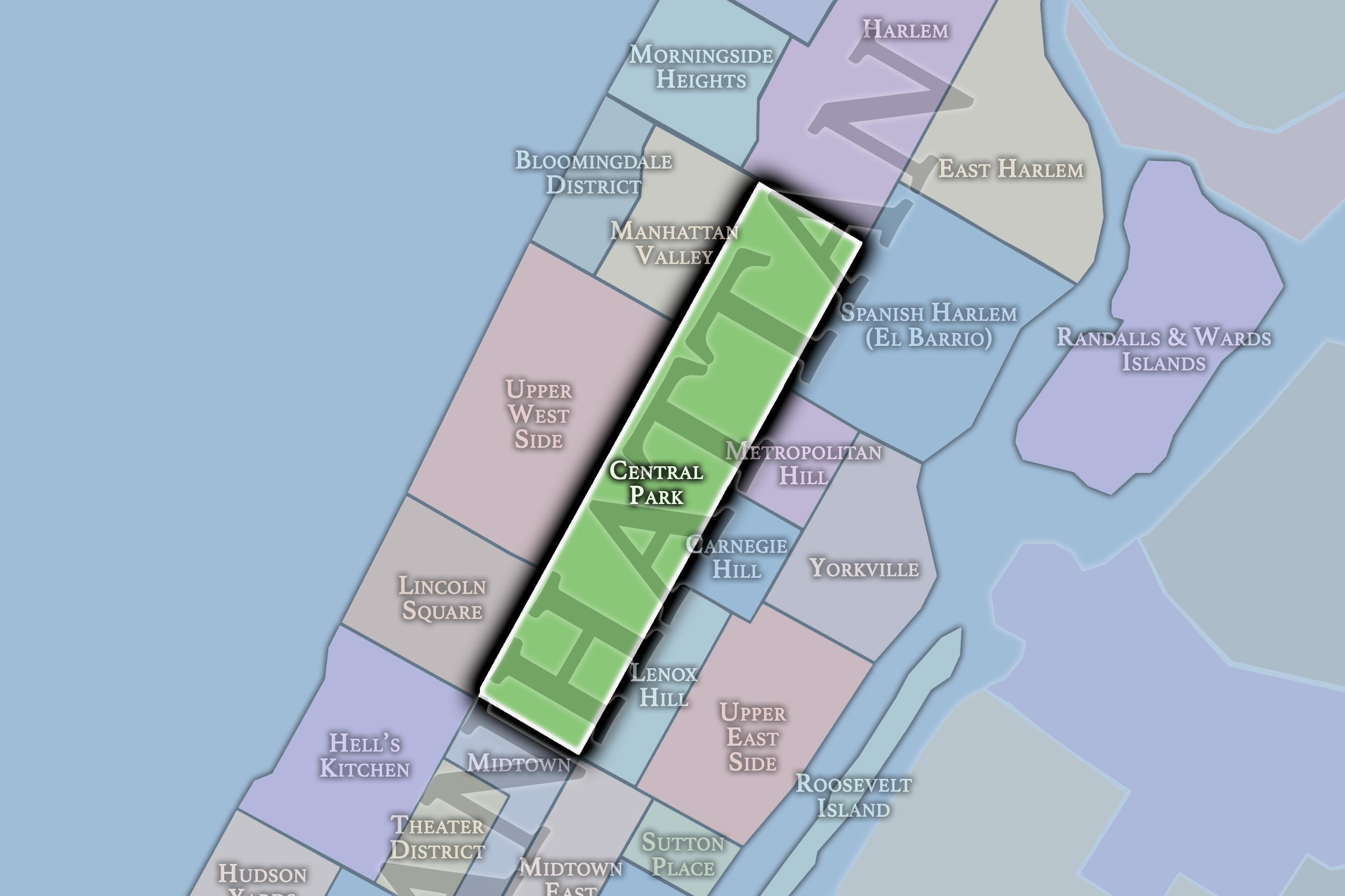
That role is amplified by the extraordinary urban convergence immediately outside its boundaries. Hell’s Kitchen, the Theater District, Midtown, Midtown East, Lincoln Square, Columbus Circle, Broadway, Sixth Avenue, Seventh Avenue, and Fifth Avenue all funnel movement toward the southern edge of the Park. Few urban parks are approached through a setting of comparable prominence. The Southern Gateway is therefore more than Central Park’s southernmost region: it is the principal transition between one of Manhattan’s most concentrated urban environments and the interior world of the Park.
Connections & Transitions
The South End is surrounded by some of Manhattan’s most active and recognizable districts. Lincoln Square lies to the west, with Hell’s Kitchen, Columbus Circle, and Broadway converging at the southwest corner. Midtown stretches directly south, Midtown East approaches from the southeast, and Lenox Hill meets the Park along the east. Sixth and Seventh Avenues terminate at the Park’s southern edge, reinforcing the region’s role as the destination toward which several of Manhattan’s major north–south corridors lead.
Within the Park, the landscape changes noticeably as the region moves northward. Its southern reaches are characterized by granite outcrops, trees, ponds, and recreational spaces embedded within uneven terrain. Moving north, those enclosed and topographically varied landscapes increasingly give way to broad lawns, flatter meadows, and long formal spaces. Sheep Meadow and The Mall announce a more expansive Central Park, creating the transition toward the landscapes of Mid-Park South beyond 72nd Street.
The Neighborhoods
The Neighborhoods:
-
Artists & Artisans
-
Zoo & Armory
-
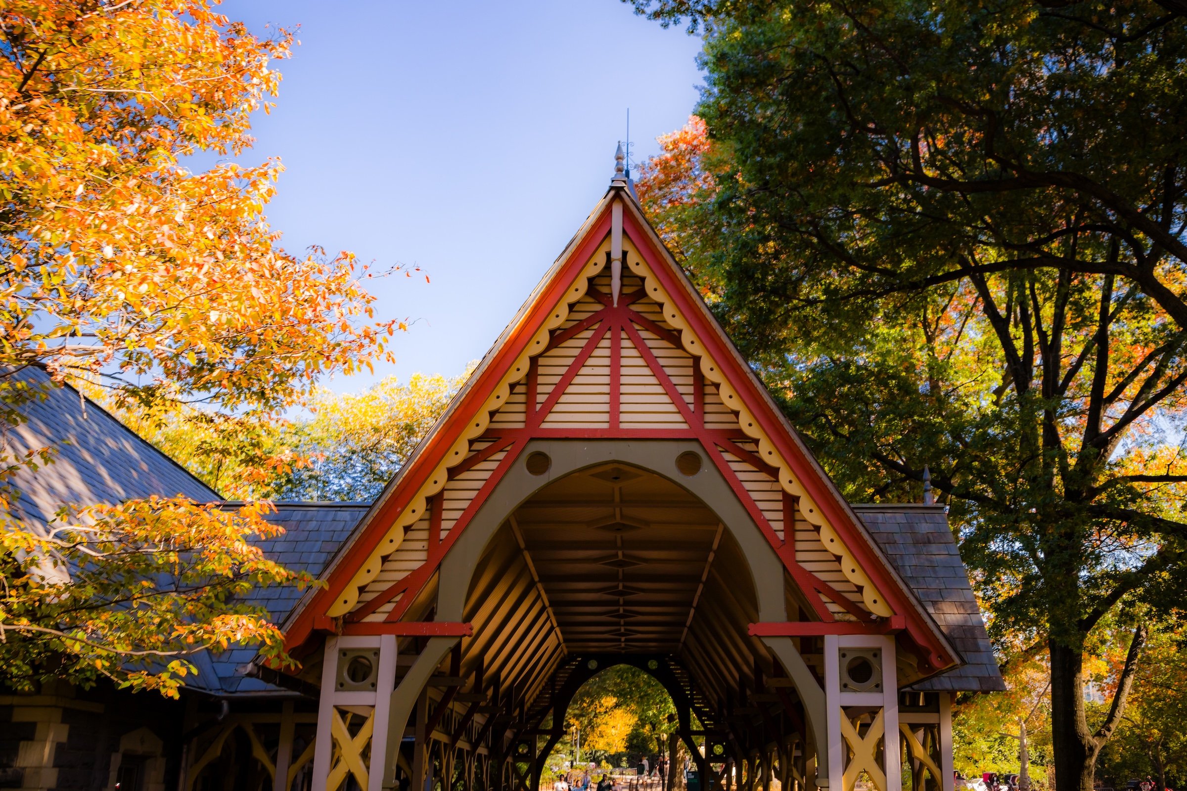
The Dairy
-
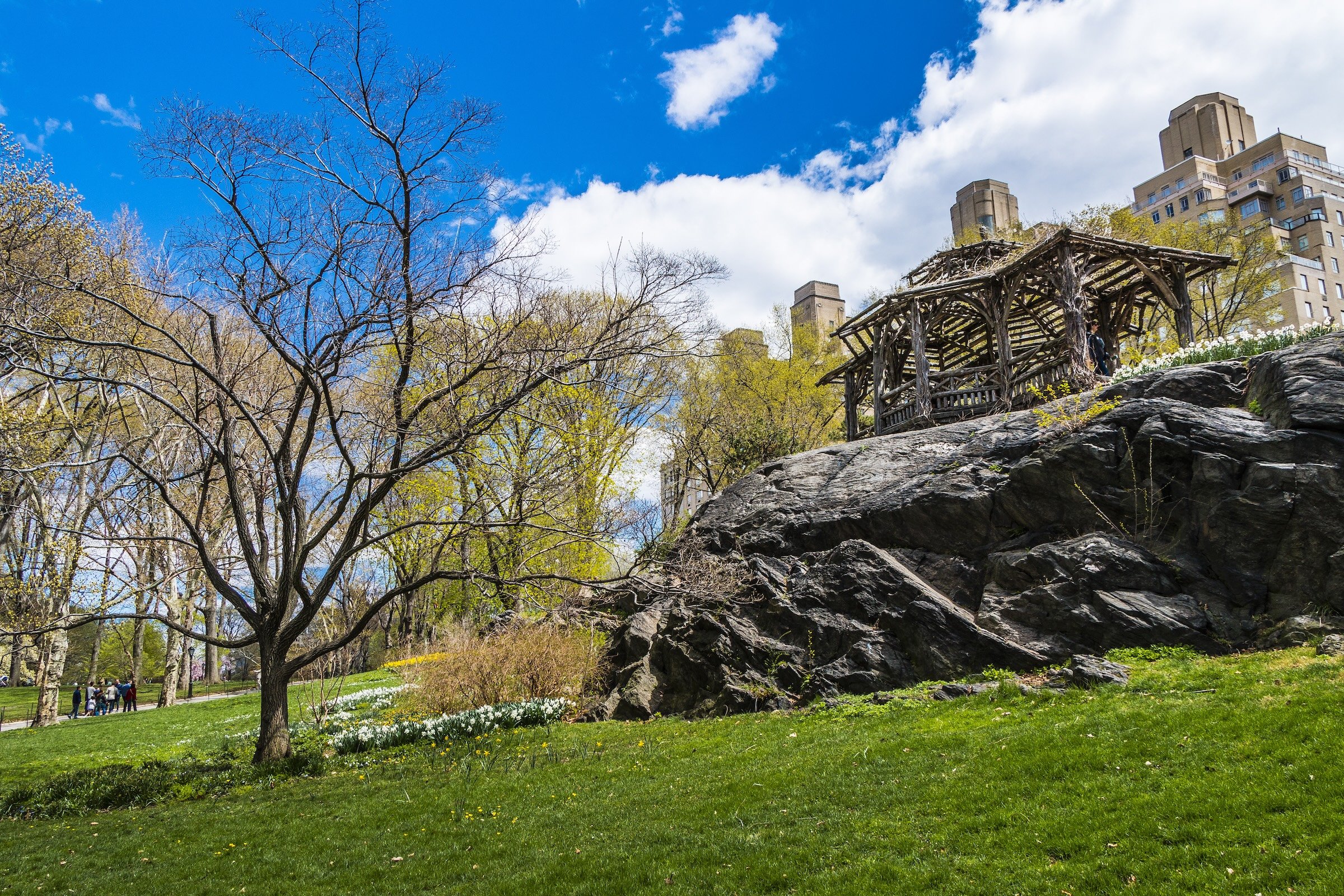
Dene
-
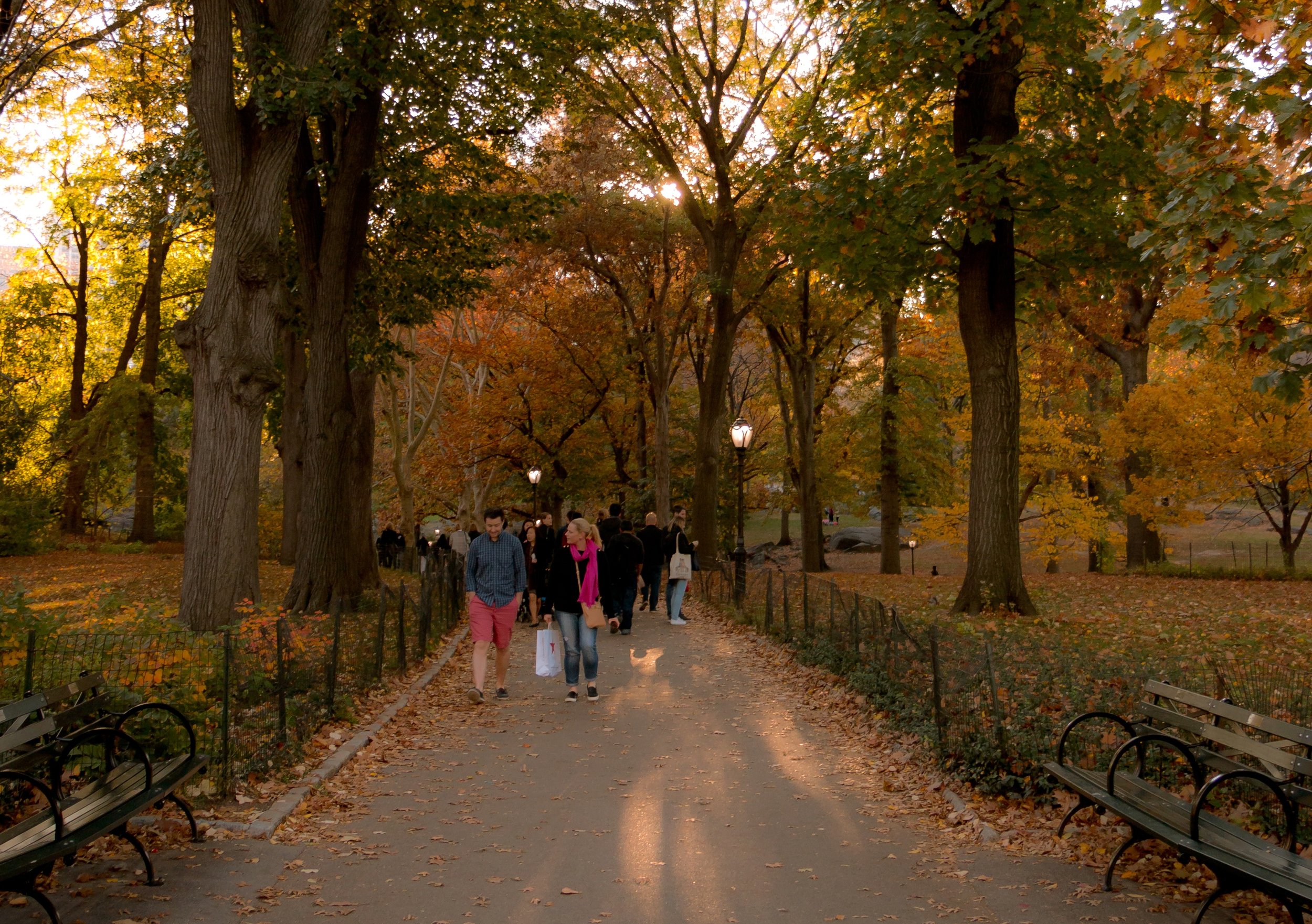
East Green
-
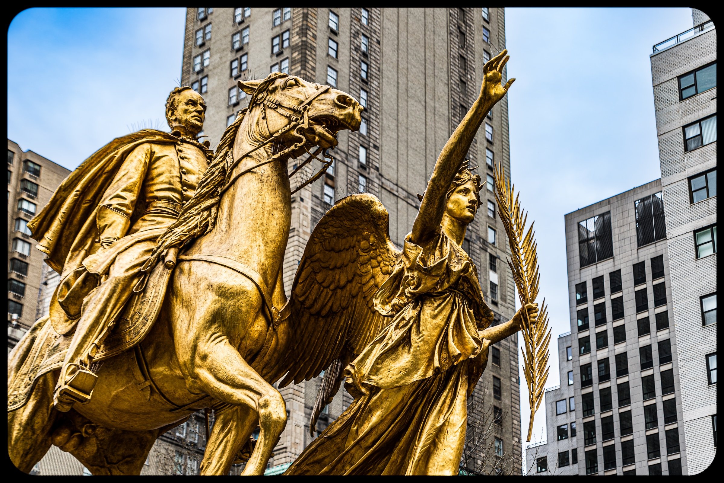
Grand Army Plaza
-
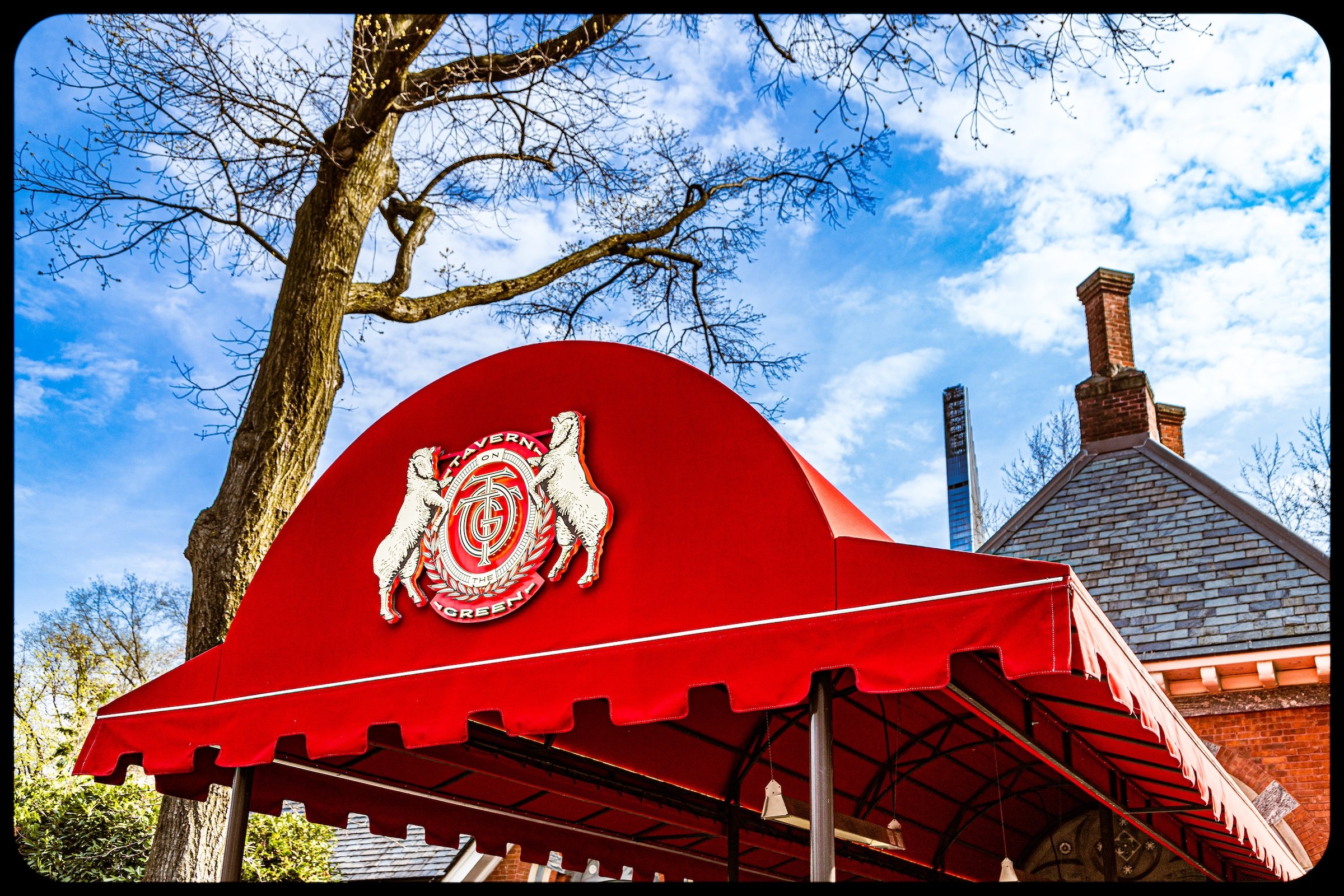
The Green
-
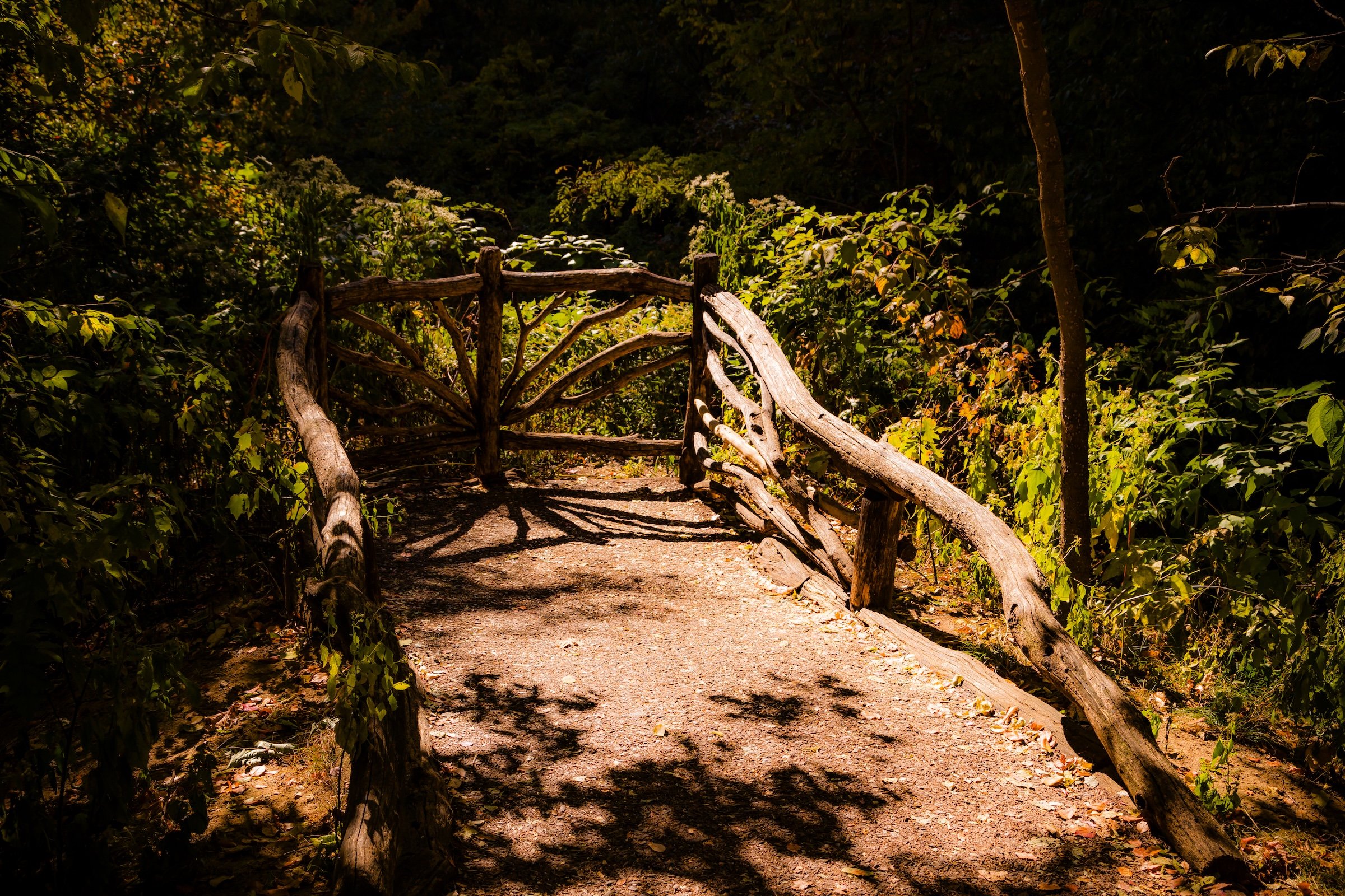
Hallett Nature Sanctuary
-
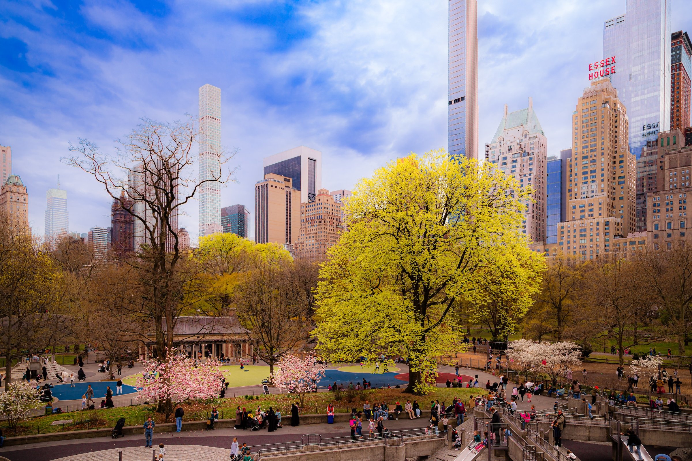
Hecksher Fields
-
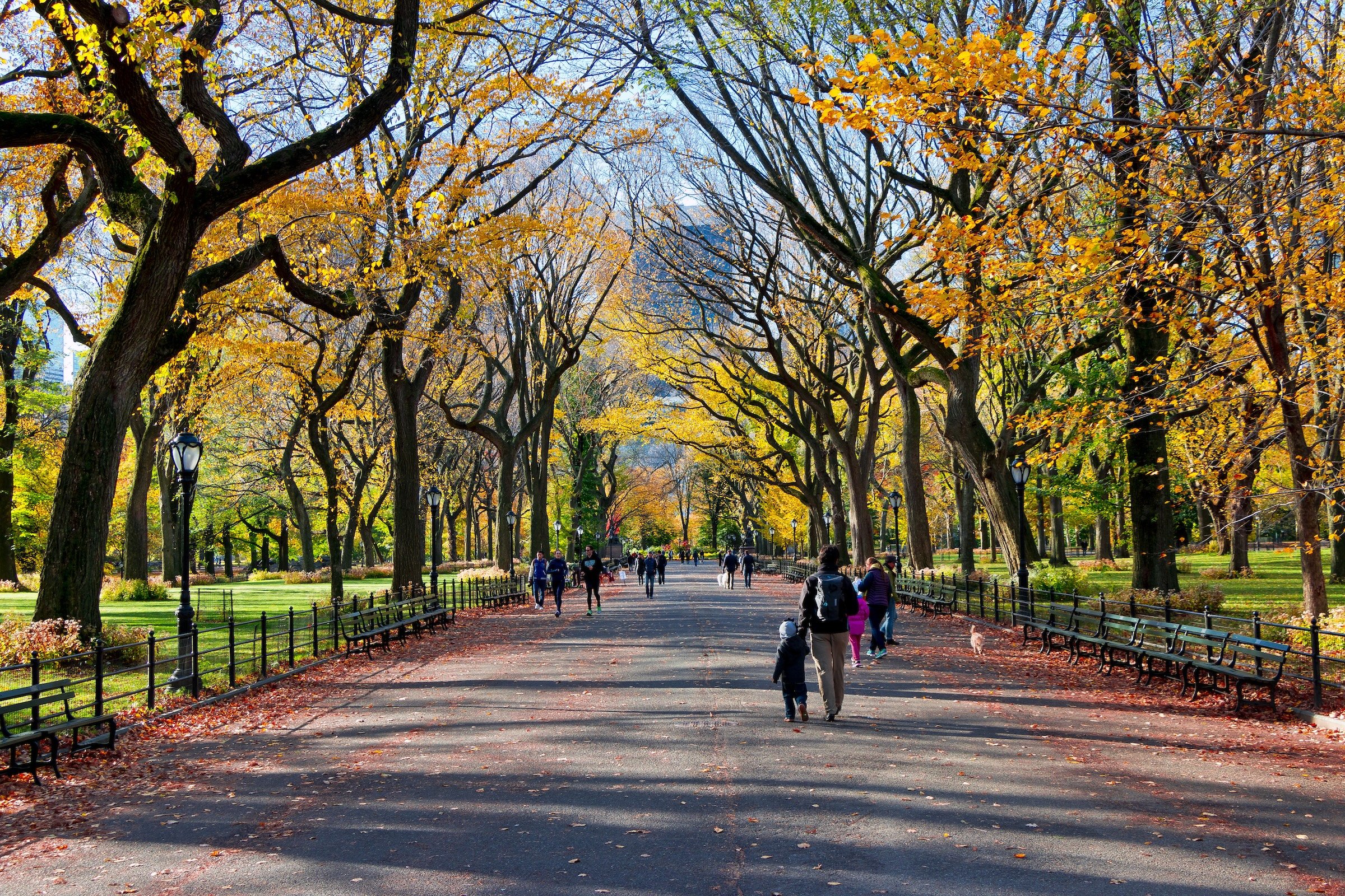
The Mall
-
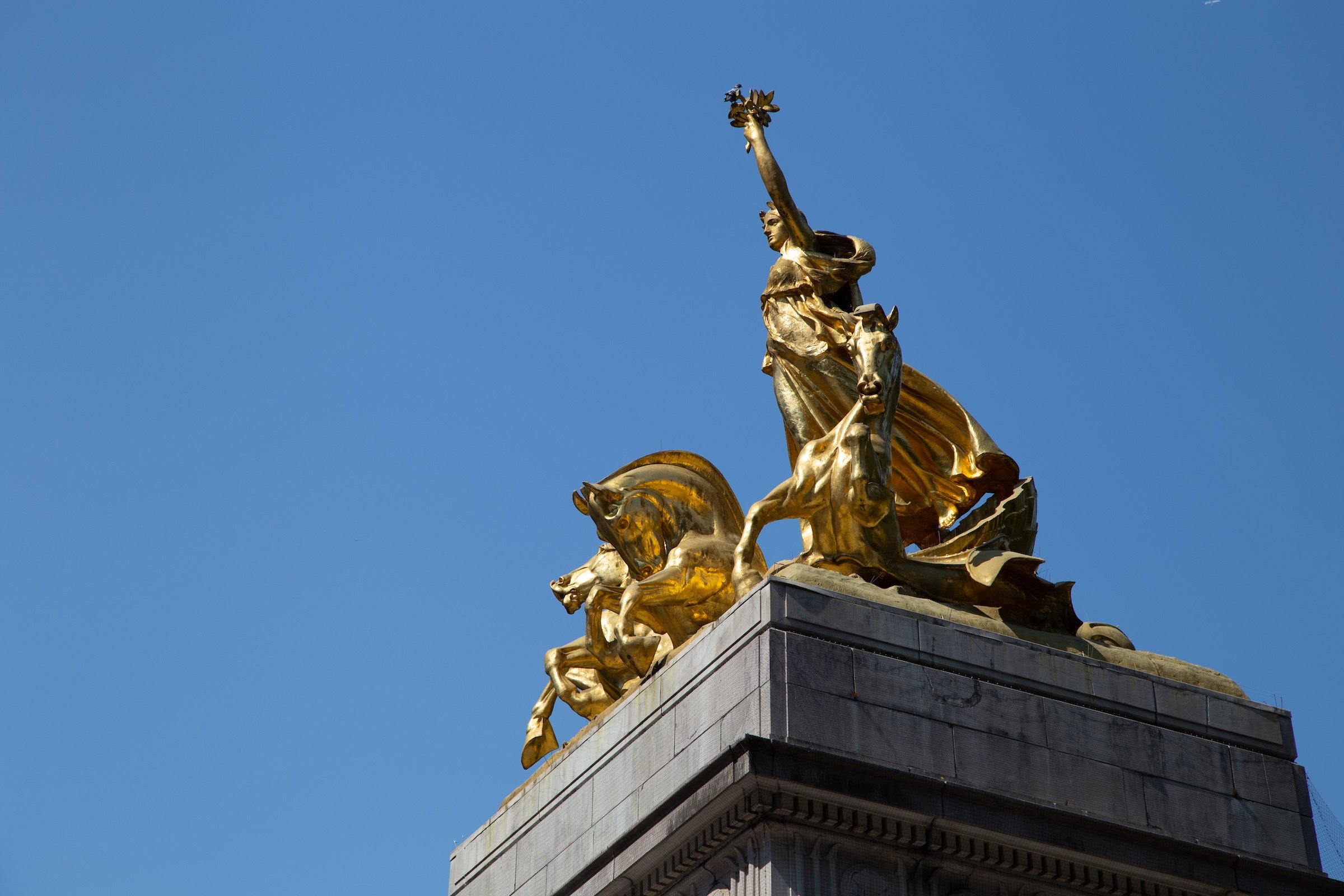
Merchants Gate
-
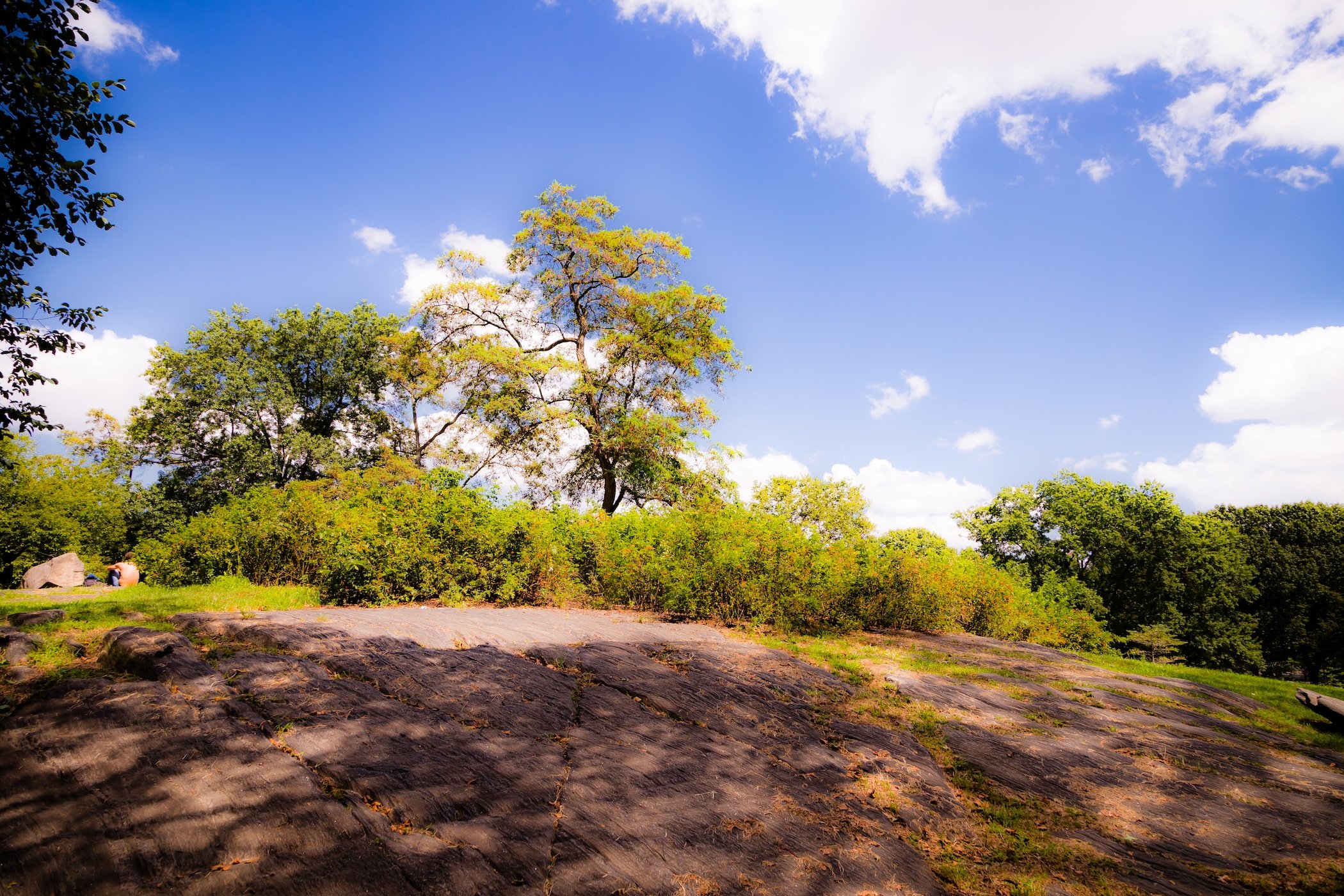
Mineral Springs
-
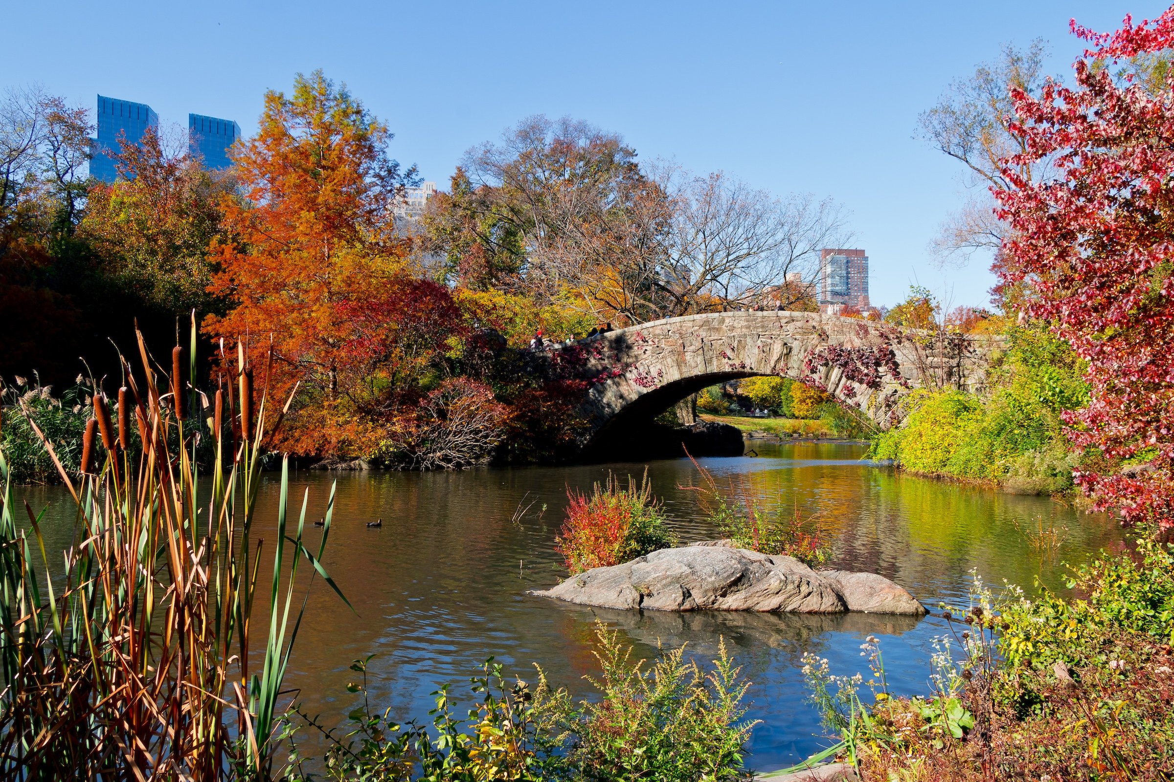
The Pond
-
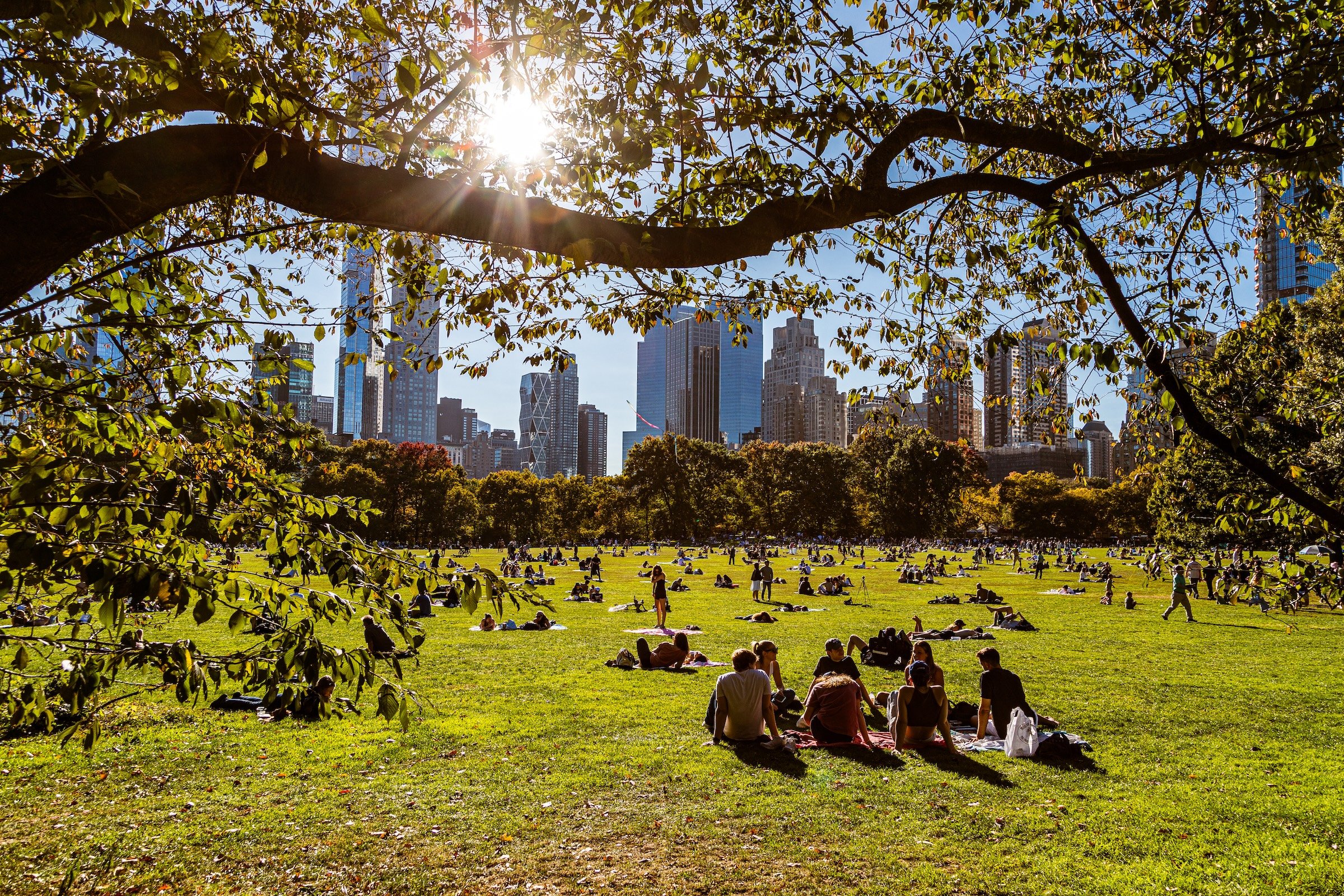
Sheep Meadow
-
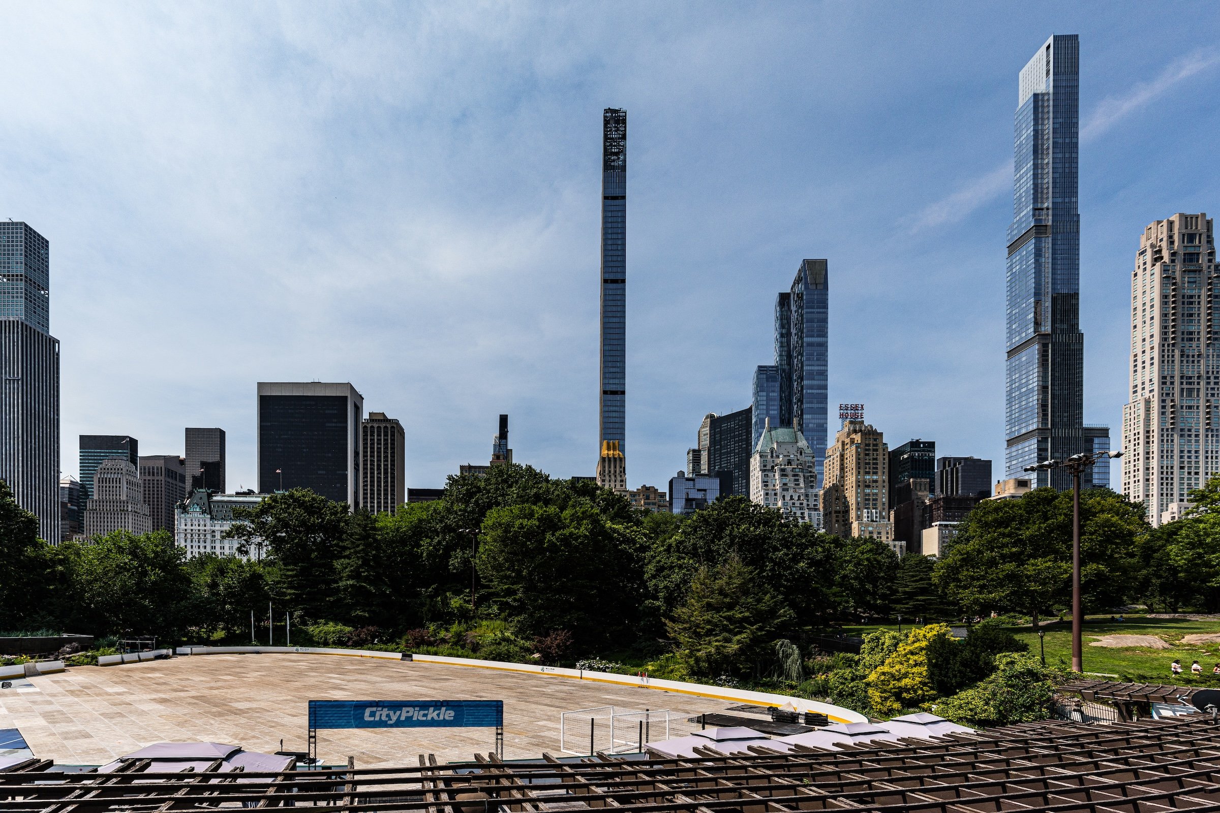
Wollman Rink
The Iconography
Geographic Icons
The South End’s defining geographic landmarks demonstrate the range of landscapes encountered almost immediately upon entering Central Park. The Pond introduces water and woodland at the Park’s southeastern corner, creating an abrupt contrast with the towers and traffic surrounding it. Umpire Rock exposes the Manhattan bedrock beneath the designed landscape and provides one of the region’s most prominent natural elevations. Farther north and west, Sheep Meadow replaces enclosure with openness, creating one of Central Park’s great expanses of lawn and sky.
Together, these landmarks trace one of the region’s central geographic transitions: from rock, water, and wooded enclosure toward the broad open landscapes that become increasingly prominent farther north.
Civic Icons
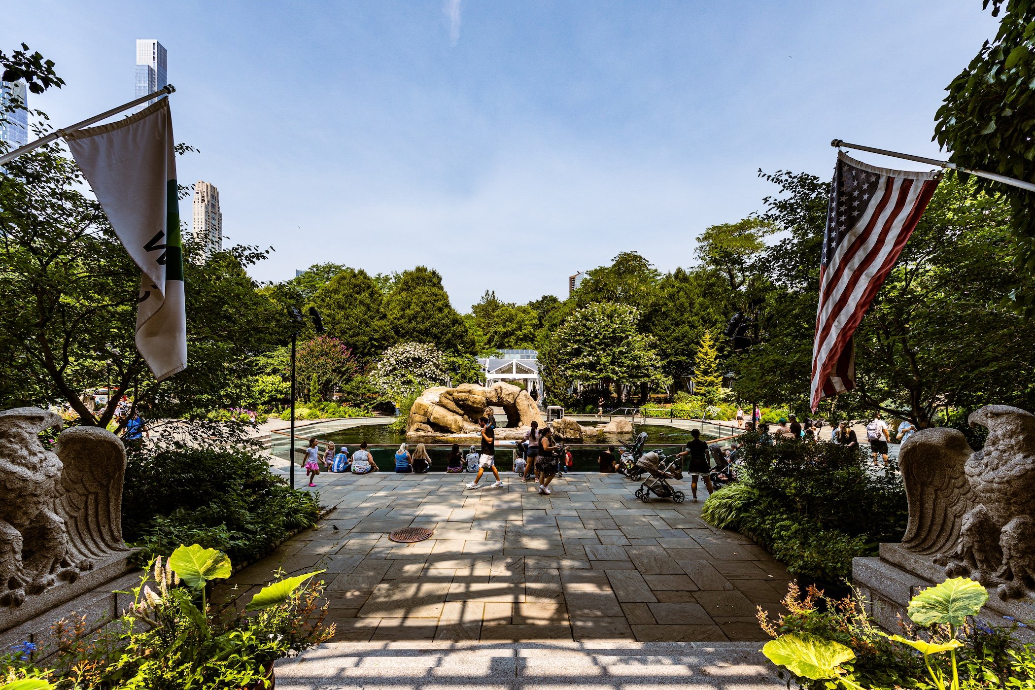
The South End also contains an unusually dense collection of Central Park’s civic and recreational institutions. Central Park Zoo and The Arsenal establish a major institutional presence along the eastern side of the region, while The Dairy Visitor Center preserves one of the Park’s distinctive early architectural landmarks. Heckscher Playground represents the recreational landscape of the western South End, serving generations of park visitors within the larger Heckscher Fields area.
At the center of the region’s civic life is The Mall, one of Central Park’s great shared public spaces. More than a circulation route, it functions as promenade, gathering place, performance setting, and ceremonial axis—an early expression of the Park not simply as landscape, but as a place created for public life.
The Photography
Visual Identity
Central Park has no single visual identity. It moves between open meadow and enclosed woodland, exposed bedrock and carefully planted garden, reflective water and hard-edged skyline. Its paths can narrow into shade beneath old trees, then open suddenly toward towers, lakes, monuments, or a broad field filled with people. The Park’s character is made from those transitions: the designed discovery of one landscape giving way to another.
Water and horizon recur throughout its geography. The Lake, Reservoir, ponds, fountains, and seasonal pools of light create places of reflection—sometimes literal, sometimes figurative—where the city appears fractured, softened, or enlarged. Beyond them, Manhattan’s towers remain present as a constant reminder that this cultivated landscape exists within, not apart from, one of the world’s densest cities.
Its visual language also changes dramatically with the seasons. Winter exposes branches, stone, and skyline; spring briefly turns the Park into blossom and color; summer fills its lawns and paths with activity; autumn intensifies the drama of canopy, water, and light. Central Park is designed to be revisited, and its identity is never fixed for long.
Through The Lens
Photographing Central Park means photographing a dialogue between nature and construction. The camera finds the Park’s deliberate artifice in bridges, arches, terraces, fountains, paths, and carefully framed views—but it also finds moments when that design seems to disappear beneath weather, foliage, water, or human activity. A stone arch becomes a threshold. A bare tree becomes a skyline frame. A meadow becomes a public stage.
The photographs move between intimate and panoramic scales. There are close encounters with sculpture, lampposts, roots, branches, rock, and water; there are also long views across open lawns, reservoirs, and lakes toward the changing skyline. Together, they reveal Central Park as a place of layered vantage points: a landscape built not simply to be looked at, but to direct how one looks.
People remain part of that visual story. Runners, walkers, picnickers, visitors, performers, couples, children, and solitary figures animate the Park without ever fully overwhelming it. Their presence makes clear that Central Park is not an urban backdrop or preserved monument. It is a lived landscape—continually reinterpreted by the people who enter it.
Explore Central Park
-
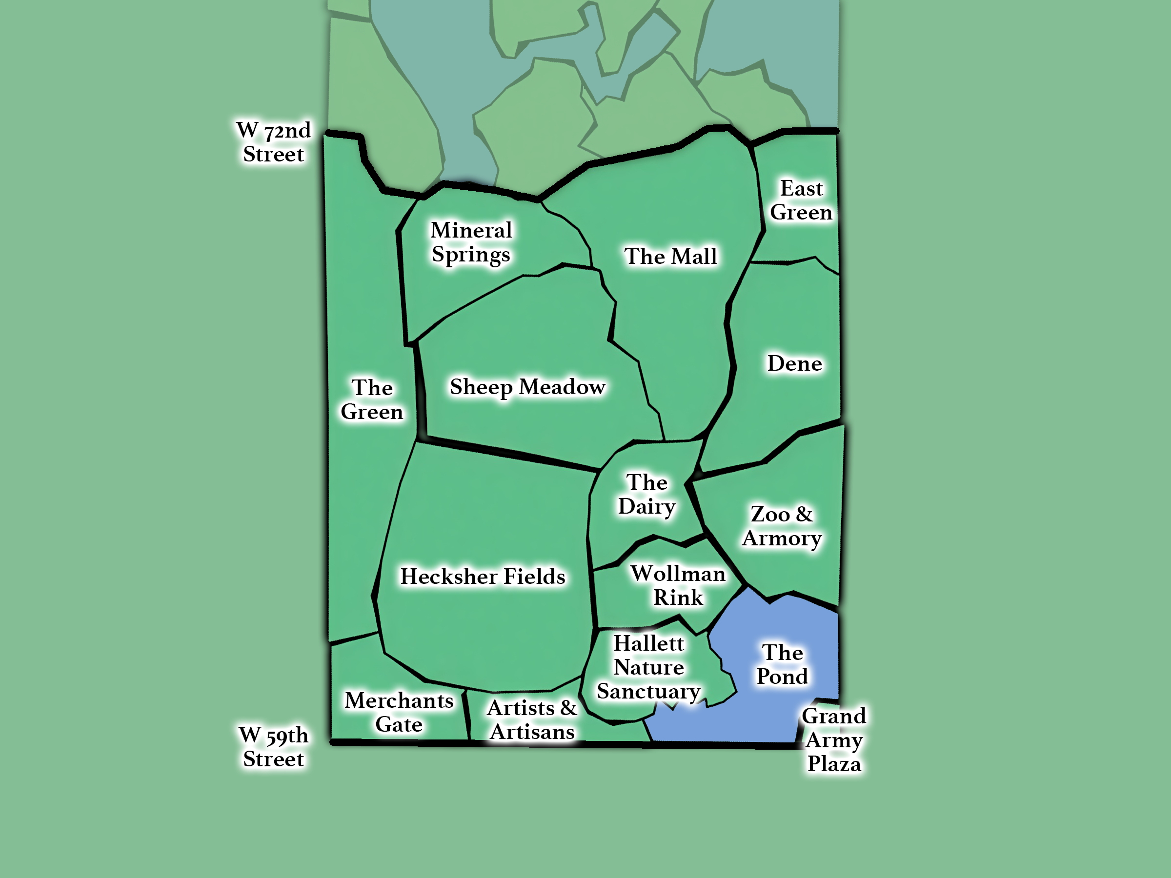
The Southern Gateway
From 59th - 72nd Streets; includes The Central Park Zoo, The Pond, Sheep Meadow, The Mall, and Tavern on the Green.
-
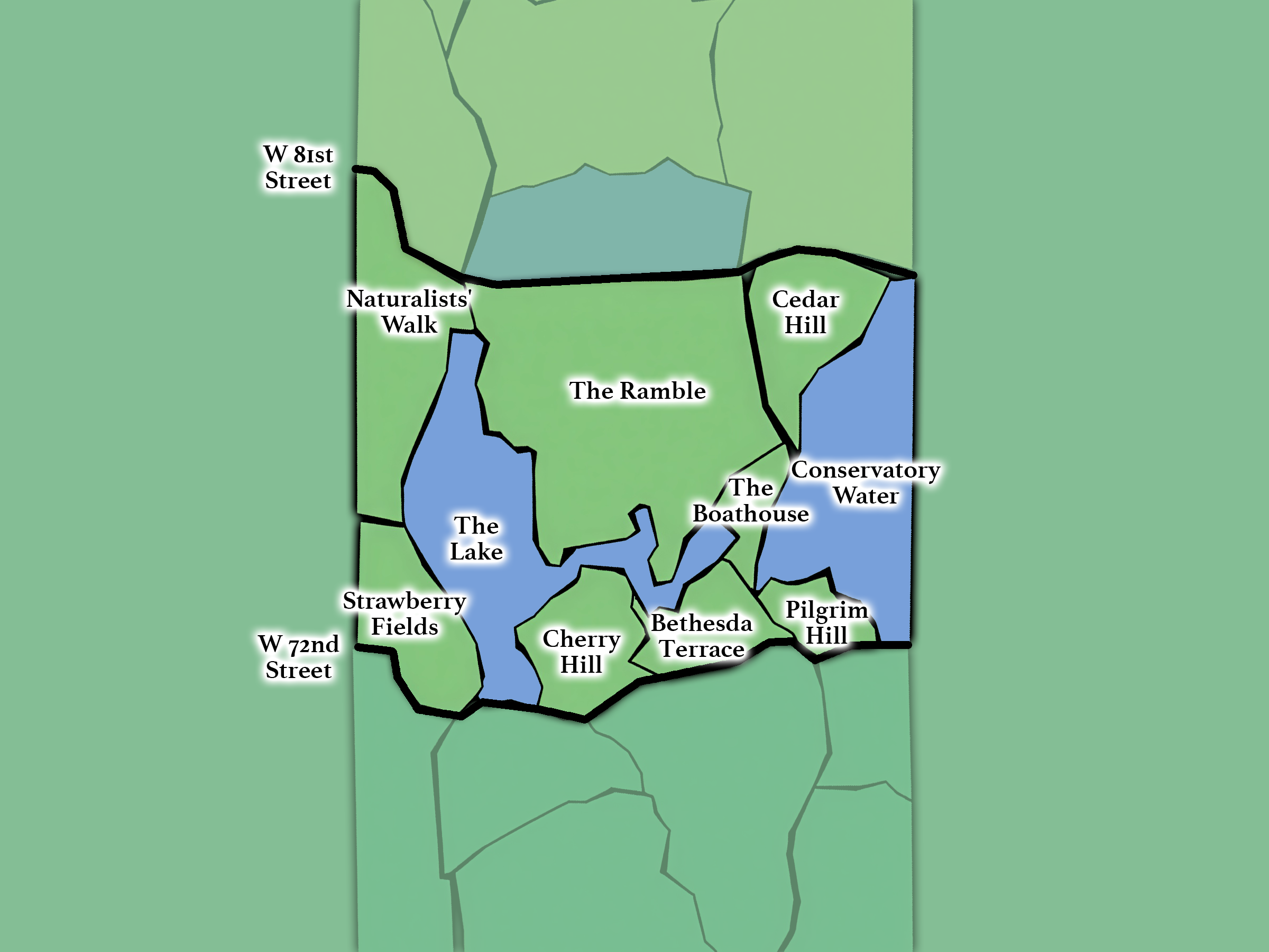
The Landmarks
From 72nd - 79th Streets; includes: The Lake, Cherry Hill, Bethesda Terrace, Conservatory Water, Strawberry Fields, and The Ramble.
-
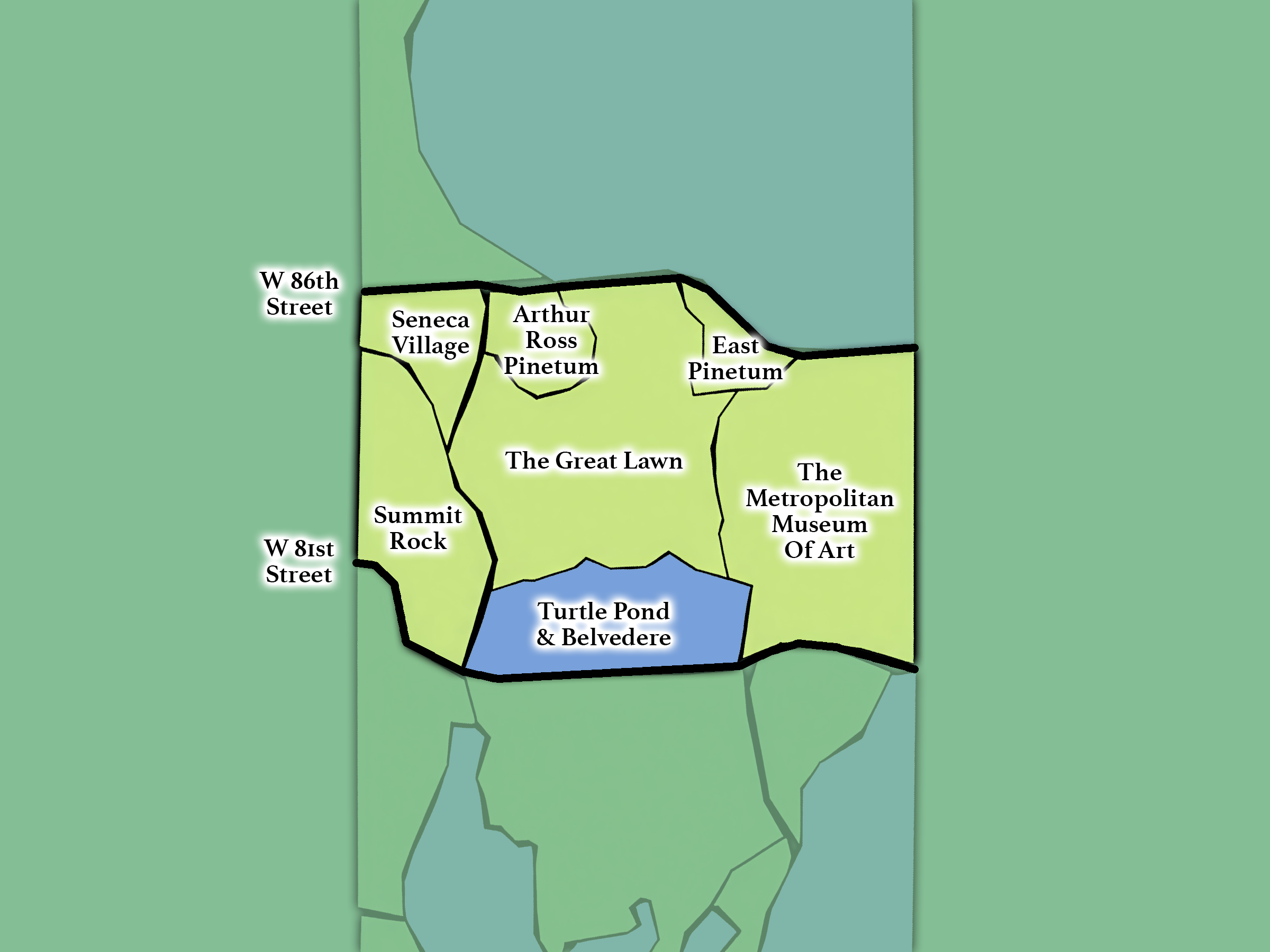
The Heart
From 79th - 86th Streets; includes Belvedere Castle, Turtle Pond, The Great Lawn, Seneca Village, and The Metropolitan Museum of Art.
-
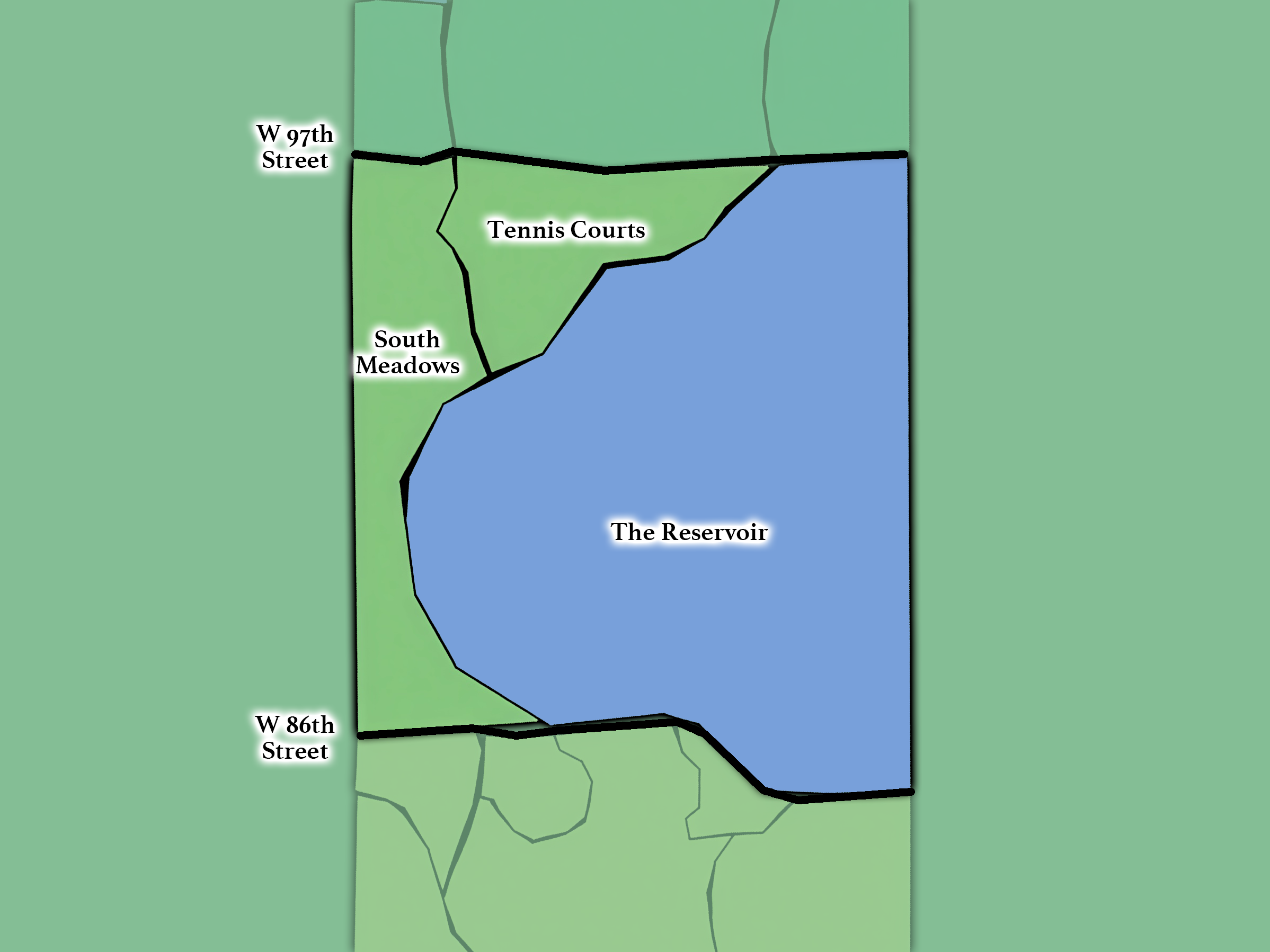
The Reflections
From 86th - 97th Streets; includes the Jacqueline Kennedy Onassis Reservoir and the South Meadows.
-
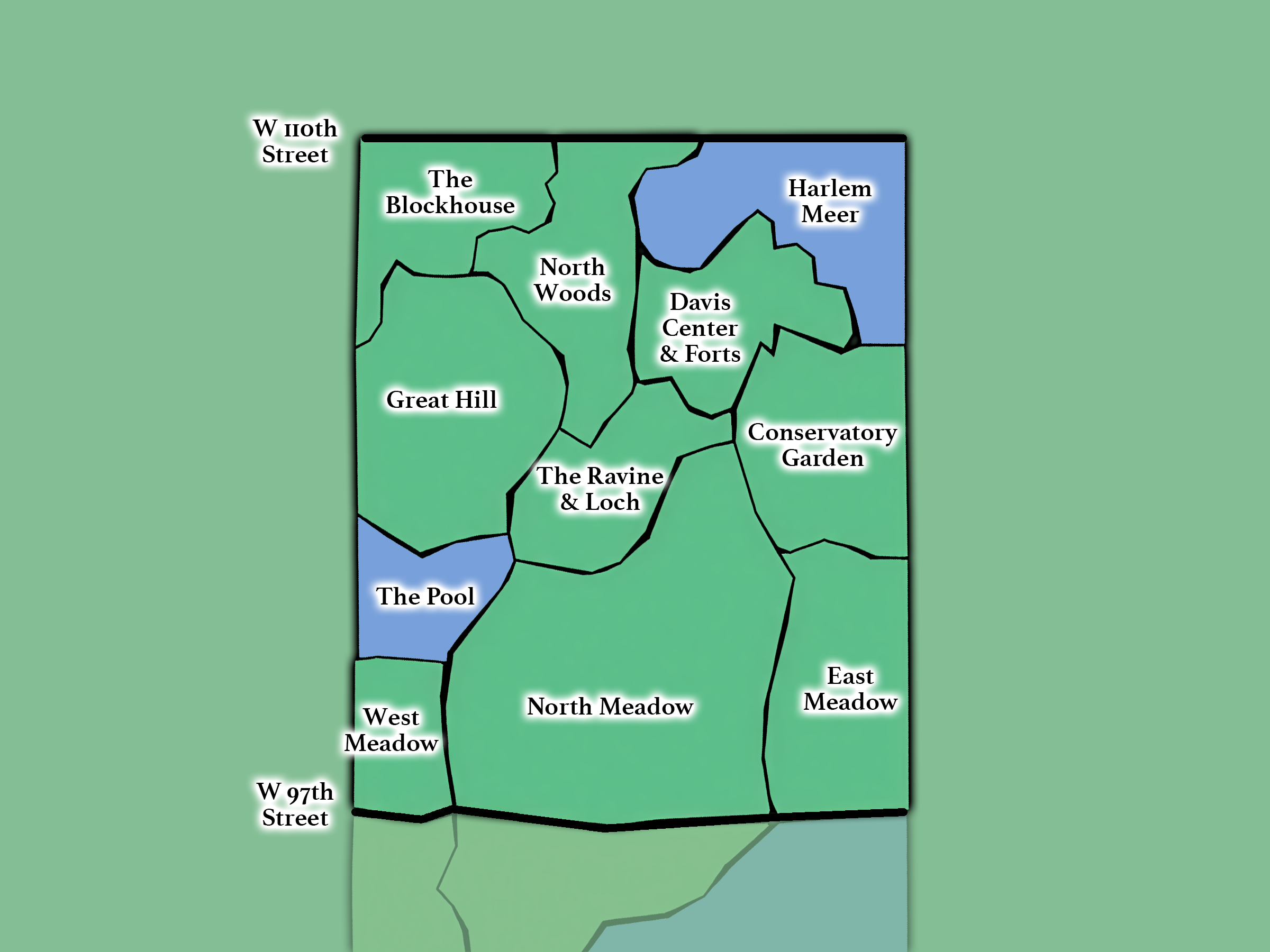
The Northern Capstone
From 97th - 110th Streets; includes: the Meadows, The Pool & Loch, Harlem Meer, The Great Hill, North Woods, and Conservatory Garden.