
FORT FISH
Location
Geographic Setting
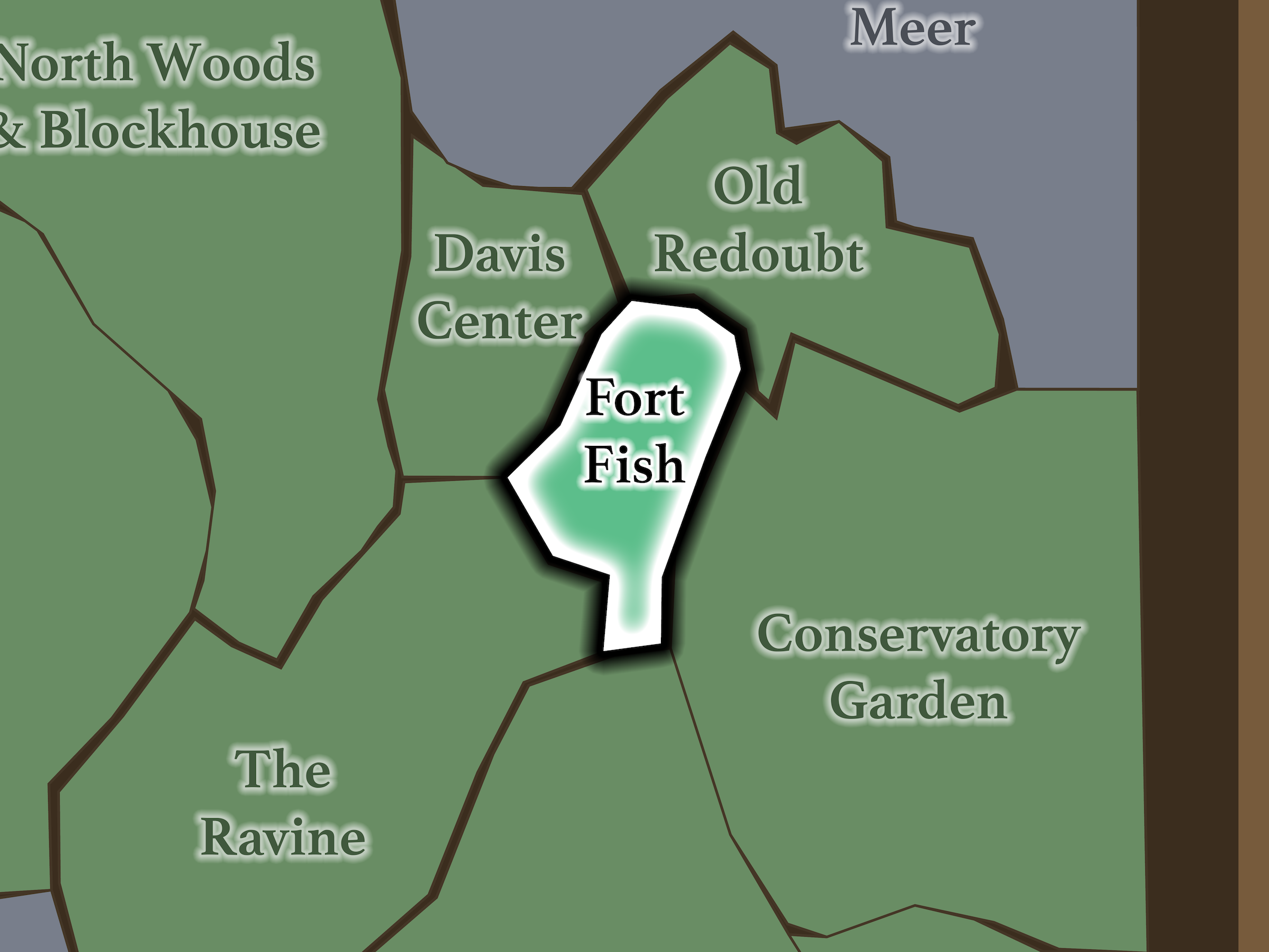
Fort Fish occupies an unusually self-contained piece of elevated ground in the North End. North Meadow begins below the 102nd Street Crossing; The Ravine lies to the southwest; Davis Center is across East Drive to the west; Old Redoubt lies beyond East Drive to the north; and Conservatory Garden is across the Drive to the east.
East Drive wraps around much of the neighborhood, almost isolating it as an island of rock, lawn and trees.
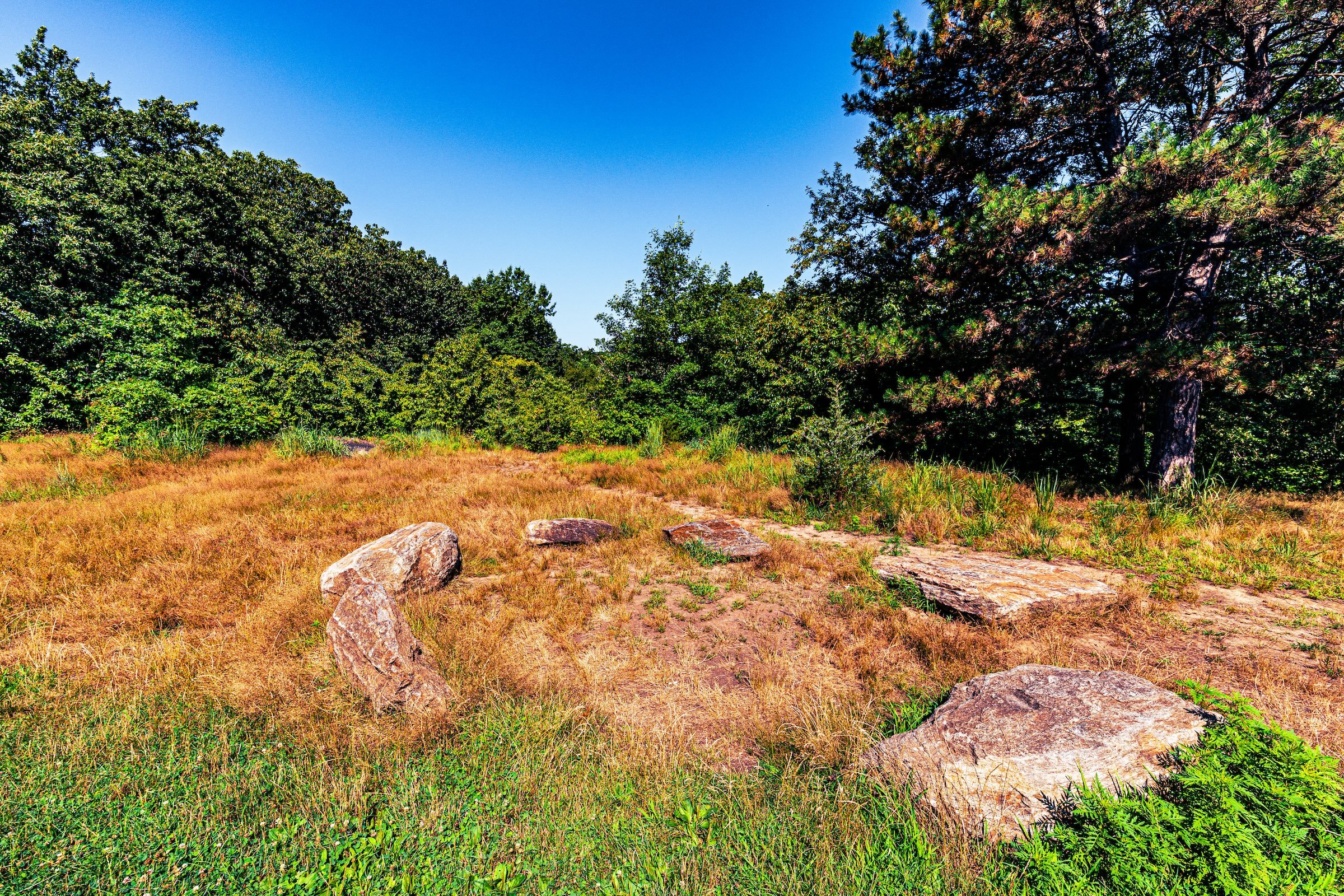
That topography is historically significant. The Conservancy identifies Fort Fish as the highest point in the northeast quadrant of Central Park—exactly the quality that made the site strategically valuable two centuries ago.
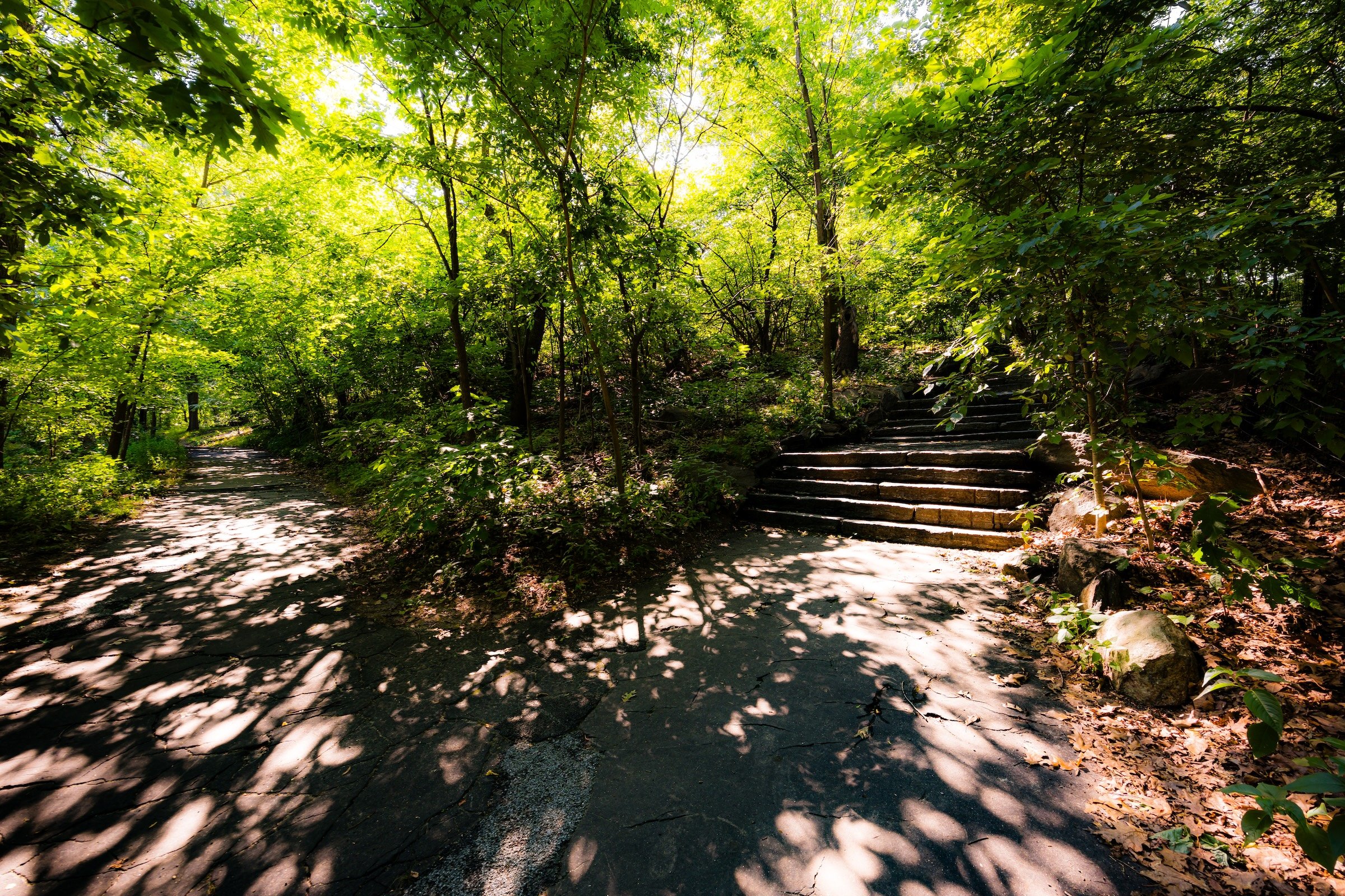
Today, the elevation has a completely different effect. Instead of commanding a defensive line, the high ground creates a quiet open lawn surrounded by trees and separated from the busier landscapes around it.
Etymology
Fort Fish preserves the name of an earthwork fortification constructed in 1814 during the War of 1812. It was named for Nicholas Fish, chairman of New York City’s Committee of Defense, and formed part of a larger defensive system intended to protect Manhattan from a feared British invasion from the north.
Fort Fish was the most heavily armed of the North End fortifications. Together with Fort Clinton, Nutter’s Battery, the Blockhouses and the gatehouse at McGowan’s Pass, it occupied the commanding high ground surrounding what is now Harlem Meer.
The British attack never came, and the fortifications never saw battle. Most subsequently disappeared, leaving the Blockhouse as the only surviving structure from the 1814 defensive system.
History
1858–1873: Greensward Plan & Construction
Fort Fish predates Central Park by more than four decades.
Following the British burning of Washington in August 1814, New York hurriedly fortified the rocky heights north of the developed city. Fort Fish formed part of a connected defensive line with Fort Clinton and Nutter’s Battery to the east and a series of Blockhouses extending westward. Low earthen walls linked the eastern forts with the gatehouse controlling passage through McGowan’s Pass.
The choice of location was dictated by terrain. These rocky elevations provided broad northern views over approaches to Manhattan, turning the same geography that would eventually make the North End picturesque into a military asset.
By the time Olmsted and Vaux began creating Central Park, that military purpose had disappeared. The forts had been abandoned, dismantled or allowed to deteriorate. Unlike the stone Blockhouse, Fort Fish left no substantial standing structure to incorporate into the new park.
What survived was the more fundamental thing: the high ground itself.
1858–1899: Early History & Grand Openings
Central Park transformed this former defensive position from strategic terrain into scenery.
The broader North End still carried visible reminders of its military past, and Olmsted and Vaux recognized the scenic value of the old fort landscapes. Fort Clinton was retained as an overlook, while the Blockhouse was deliberately treated as a picturesque ruin within the North Woods.
Fort Fish evolved more subtly. Without a surviving fort structure, its identity became tied to its elevated lawn and open prospect rather than architecture.
That makes it an interesting inversion of its earlier history. The same elevation once valued for surveillance became valuable for contemplation.
20th Century: Transformation & Restoration
Fort Fish acquired its one major civic monument through Andrew Haswell Green, one of the most consequential figures in Central Park history.
Green served on the original Central Park Board of Commissioners, played an important role in selecting the Greensward Plan, oversaw park finances and later became a central advocate for the consolidation of New York’s five boroughs. He was also involved in establishing institutions including the Metropolitan Museum of Art and American Museum of Natural History.
A memorial association formed after his death and eventually settled on a deliberately modest monument: a marble bench accompanied by five trees symbolizing the five boroughs.
The Conservancy’s detailed history places the original 1929 memorial at The Mount. When that site was repurposed for Central Park’s composting operation during the 1980s, the bench was moved to its present location at Fort Fish. In 1998, five maple trees were planted around it to mark the centennial of Greater New York.
The result feels particularly appropriate. Rather than introducing a monumental statue onto this quiet hilltop, Green is commemorated with precisely the sort of object the landscape seems to ask for: a place to sit and look outward.
Explore
21st Century: Renovation & Modernization
Fort Fish is easy to overlook—and that is much of its appeal.
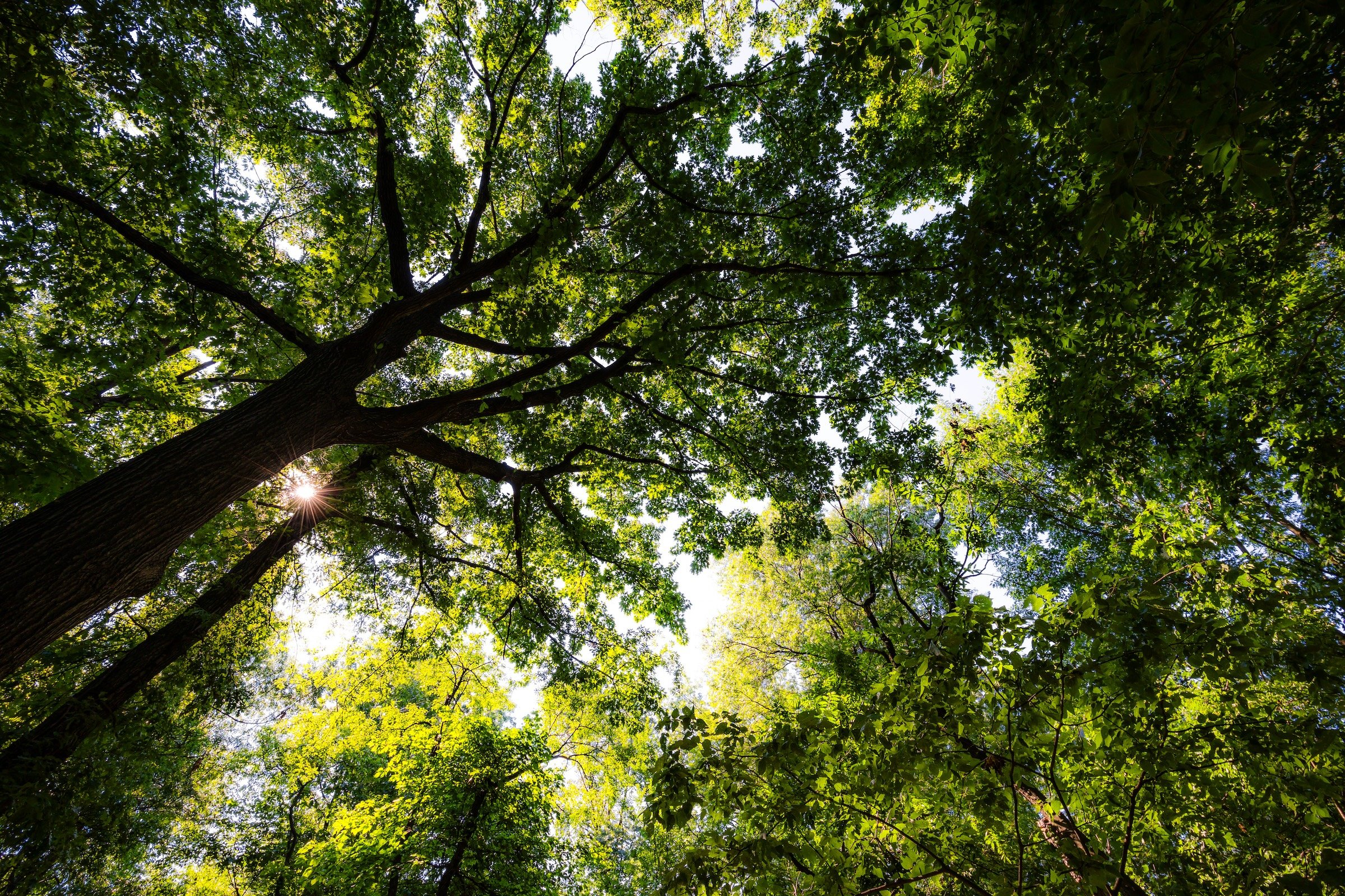
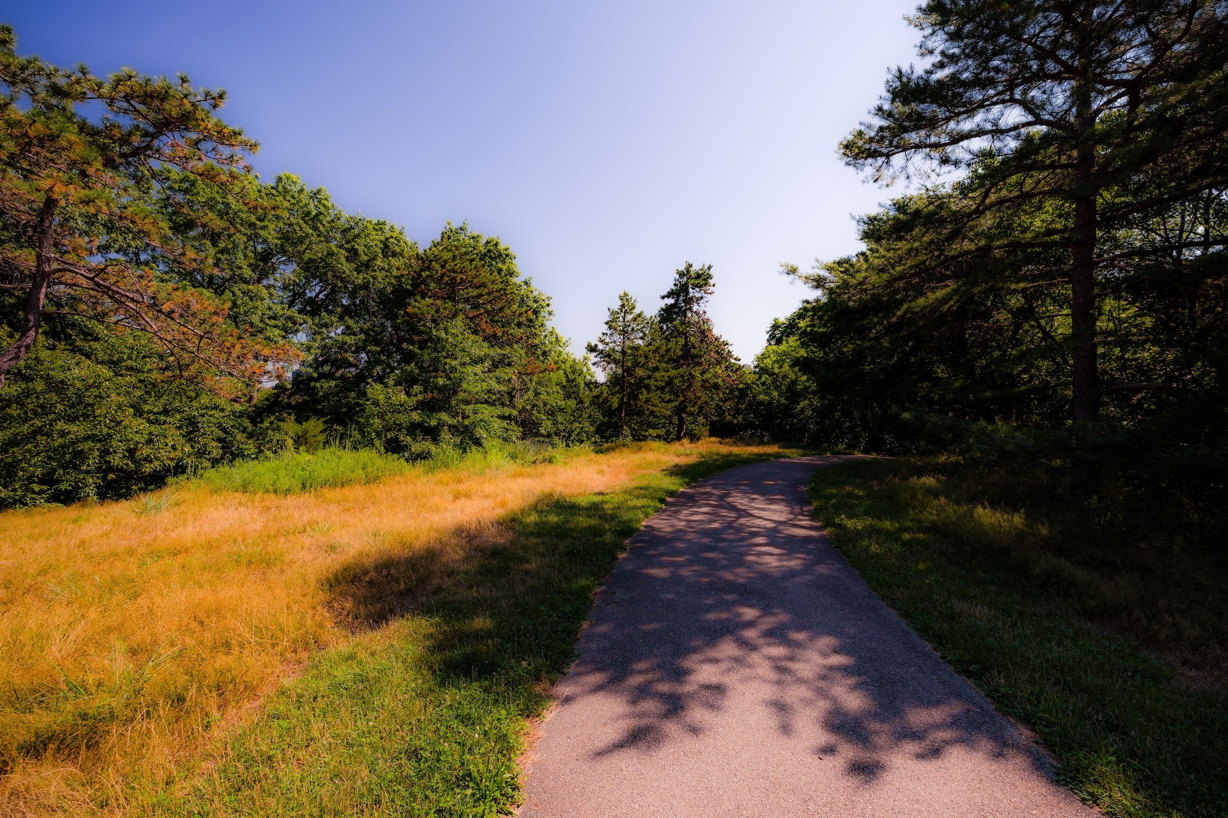
East Drive nearly surrounds it, yet trees and changes in elevation soften the roadway's presence. Inside is a compact landscape of grass, exposed rock and mature canopy, with enough separation from North Meadow, Conservatory Garden and Davis Center to feel unusually removed from their activity.
There is no surviving fort to explore. There is no major recreational facility. There is no dramatic garden composition.
Instead, Fort Fish offers something much simpler: high ground and room to pause.
The Conservancy itself includes the Andrew Haswell Green Bench on a walking route devoted to the North End’s open landscapes and describes the Fort Fish site as a green space at one of the area's commanding elevations.
Its relative emptiness also allows history to remain present without overwhelming the landscape. Knowing that this lawn once formed part of a defensive line changes how the rocks and elevation read, even though almost none of the military construction survives.
That makes Fort Fish less a preserved fort than a preserved strategic landscape.
Waypoints
-
The marble memorial honors the civic leader closely associated with both the creation of Central Park and the consolidation of Greater New York. Five maple trees planted around it in 1998 represent the City's five boroughs, making the bench an especially fitting place for quiet contemplation atop the former Fort Fish landscape.
Photography
Visual Identity
Central Park has no single visual identity. It moves between open meadow and enclosed woodland, exposed bedrock and carefully planted garden, reflective water and hard-edged skyline. Its paths can narrow into shade beneath old trees, then open suddenly toward towers, lakes, monuments, or a broad field filled with people. The Park’s character is made from those transitions: the designed discovery of one landscape giving way to another.
Water and horizon recur throughout its geography. The Lake, Reservoir, ponds, fountains, and seasonal pools of light create places of reflection—sometimes literal, sometimes figurative—where the city appears fractured, softened, or enlarged. Beyond them, Manhattan’s towers remain present as a constant reminder that this cultivated landscape exists within, not apart from, one of the world’s densest cities.
Its visual language also changes dramatically with the seasons. Winter exposes branches, stone, and skyline; spring briefly turns the Park into blossom and color; summer fills its lawns and paths with activity; autumn intensifies the drama of canopy, water, and light. Central Park is designed to be revisited, and its identity is never fixed for long.